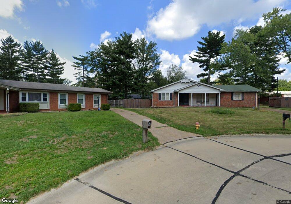
2 Covington Ct Florissant, MO 63033
Estimated Value: $202,000 - $251,000
3
Beds
2
Baths
1,438
Sq Ft
$151/Sq Ft
Est. Value
About This Home
This home is located at 2 Covington Ct, Florissant, MO 63033 and is currently estimated at $216,641, approximately $150 per square foot. 2 Covington Ct is a home located in St. Louis County with nearby schools including Commons Lane Elementary School, Cross Keys Middle School, and McCluer North High School.
Ownership History
Date
Name
Owned For
Owner Type
Purchase Details
Closed on
Jan 16, 2002
Sold by
Lanpar Corp
Bought by
Aderibighe Olusesan
Current Estimated Value
Home Financials for this Owner
Home Financials are based on the most recent Mortgage that was taken out on this home.
Original Mortgage
$113,253
Interest Rate
7.15%
Mortgage Type
FHA
Purchase Details
Closed on
Jun 4, 2001
Sold by
Fisher Eugene A
Bought by
Lanpar Corp
Purchase Details
Closed on
May 29, 2001
Sold by
Fisher Kevin John and Fisher Desiree
Bought by
Lanpar Corp
Create a Home Valuation Report for This Property
The Home Valuation Report is an in-depth analysis detailing your home's value as well as a comparison with similar homes in the area
Home Values in the Area
Average Home Value in this Area
Purchase History
| Date | Buyer | Sale Price | Title Company |
|---|---|---|---|
| Aderibighe Olusesan | $115,000 | -- | |
| Lanpar Corp | $76,000 | -- | |
| Lanpar Corp | -- | -- | |
| Lanpar Corp | $76,000 | -- | |
| Lanpar Corp | -- | -- |
Source: Public Records
Mortgage History
| Date | Status | Borrower | Loan Amount |
|---|---|---|---|
| Closed | Aderibighe Olusesan | $113,253 |
Source: Public Records
Tax History Compared to Growth
Tax History
| Year | Tax Paid | Tax Assessment Tax Assessment Total Assessment is a certain percentage of the fair market value that is determined by local assessors to be the total taxable value of land and additions on the property. | Land | Improvement |
|---|---|---|---|---|
| 2025 | $2,420 | $35,440 | $4,640 | $30,800 |
| 2024 | $2,420 | $30,570 | $5,340 | $25,230 |
| 2023 | $2,405 | $30,570 | $5,340 | $25,230 |
| 2022 | $2,345 | $26,140 | $6,230 | $19,910 |
| 2021 | $2,232 | $26,140 | $6,230 | $19,910 |
| 2020 | $2,033 | $22,140 | $5,340 | $16,800 |
| 2019 | $1,991 | $22,140 | $5,340 | $16,800 |
| 2018 | $1,848 | $18,450 | $3,210 | $15,240 |
| 2017 | $1,838 | $18,450 | $3,210 | $15,240 |
| 2016 | $1,640 | $15,960 | $2,830 | $13,130 |
| 2015 | $1,647 | $15,960 | $2,830 | $13,130 |
| 2014 | $2,265 | $21,950 | $4,810 | $17,140 |
Source: Public Records
Map
Nearby Homes
- 12415 Danube Dr
- 4244 Miletus Dr
- 30 Rolling Hills Dr
- 4040 Helmkampf Dr
- 3940 Parker Rd
- 11869 Galba Dr
- 2255 Wheatfield Dr
- 11767 MacRinus Dr
- 2520 Greenberry Dr
- 3 Wild Ridge Estates Turnberry Ct
- 12062 Cato Dr
- 11707 MacRinus Dr
- 4354 Metarus Dr
- 0TBB Wild Ridge Hazeltine
- 0 Wild Ridge Sawgrass
- 0 Wild Ridge Pikewood Unit MAR23017155
- 0 Wild Ridge Pikewood Unit MAR23017151
- LOT 32 Wild Ridge Willowbrook
- 0TBB Wild Ridge Bethpage
- 0LOT Wild Ridge Turnberry
- 3 Covington Ct
- 0 Covington Ct
- 12722 Shepherd Dr
- 1 Covington Ct
- 12652 Shepherd Dr
- 0 the Covington at Misty Hollow Unit 15001421
- 12792 Shepherd Dr
- 12622 Shepherd Dr
- 0TBB the Covington @ Misty Hollow
- 0TBB the Covington@misty Hollow
- 4 Covington Ct
- 12572 Shepherd Dr
- 6 Covington Ct
- 5 Covington Ct
- 12562 Shepherd Dr
- 12670 Danube Dr
- 12690 Danube Dr
- 12773 Shepherd Dr
- 12723 Shepherd Dr
- 12640 Danube Dr