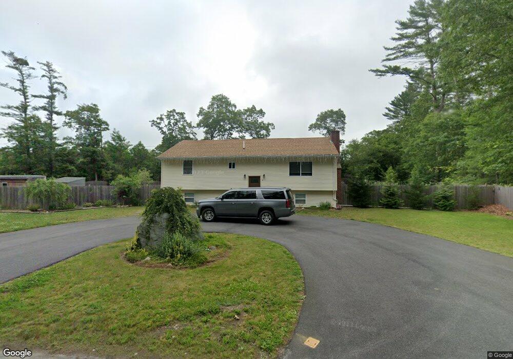
2 Cushman Ave East Freetown, MA 02717
Estimated Value: $525,000 - $569,000
3
Beds
2
Baths
1,852
Sq Ft
$297/Sq Ft
Est. Value
About This Home
This home is located at 2 Cushman Ave, East Freetown, MA 02717 and is currently estimated at $550,517, approximately $297 per square foot. 2 Cushman Ave is a home located in Bristol County with nearby schools including Freetown Elementary School, George R Austin Intermediate School, and Freetown-Lakeville Middle School.
Ownership History
Date
Name
Owned For
Owner Type
Purchase Details
Closed on
Jan 13, 2020
Sold by
P & I Rt Corp
Bought by
Pereira Philip
Current Estimated Value
Purchase Details
Closed on
Oct 20, 2016
Sold by
Us Bank Na Tr
Bought by
P & I Rt Corp
Home Financials for this Owner
Home Financials are based on the most recent Mortgage that was taken out on this home.
Original Mortgage
$199,555
Interest Rate
3.44%
Mortgage Type
New Conventional
Purchase Details
Closed on
Aug 11, 2016
Sold by
Noia Michael J
Bought by
Us Bank Na Tr
Purchase Details
Closed on
May 10, 2007
Sold by
Noia Michael J and Noia Therese M
Bought by
Noia Michael J
Create a Home Valuation Report for This Property
The Home Valuation Report is an in-depth analysis detailing your home's value as well as a comparison with similar homes in the area
Home Values in the Area
Average Home Value in this Area
Purchase History
| Date | Buyer | Sale Price | Title Company |
|---|---|---|---|
| Pereira Philip | $230,000 | None Available | |
| P & I Rt Corp | $171,000 | -- | |
| Us Bank Na Tr | $232,450 | -- | |
| Noia Michael J | -- | -- |
Source: Public Records
Mortgage History
| Date | Status | Borrower | Loan Amount |
|---|---|---|---|
| Previous Owner | P & I Rt Corp | $199,555 |
Source: Public Records
Tax History Compared to Growth
Tax History
| Year | Tax Paid | Tax Assessment Tax Assessment Total Assessment is a certain percentage of the fair market value that is determined by local assessors to be the total taxable value of land and additions on the property. | Land | Improvement |
|---|---|---|---|---|
| 2025 | $4,393 | $443,300 | $180,500 | $262,800 |
| 2024 | $4,365 | $418,500 | $170,300 | $248,200 |
| 2023 | $4,263 | $398,000 | $153,400 | $244,600 |
| 2022 | $4,061 | $336,700 | $129,900 | $206,800 |
| 2021 | $3,927 | $309,200 | $118,100 | $191,100 |
| 2020 | $3,906 | $300,000 | $113,600 | $186,400 |
| 2019 | $3,724 | $283,200 | $108,200 | $175,000 |
| 2018 | $3,429 | $257,600 | $108,200 | $149,400 |
| 2017 | $3,395 | $254,900 | $108,200 | $146,700 |
| 2016 | $3,270 | $249,800 | $105,100 | $144,700 |
| 2015 | $3,213 | $249,100 | $105,100 | $144,000 |
| 2014 | $2,910 | $230,800 | $102,900 | $127,900 |
Source: Public Records
Map
Nearby Homes
- 11 Gurney Rd
- 63 County Rd
- 0 Costa Dr
- 23 Parker Dr
- 8 Denise Ave
- 4597 Acushnet Ave
- 36 Winfield St
- 2 Hayes St
- 946 Thorndike St
- 32 Morton Rd
- 1599 Braley Rd Unit 68
- 15 Austin Ln
- 82 Susan St
- 19 Hilltop Acres Dr
- 16 Swallow St
- 13 Luscomb Ln
- 148 Braley Hill Rd
- 247 Braley Hill Rd
- 2 Woodland Rd
- 120 Hackett Ave