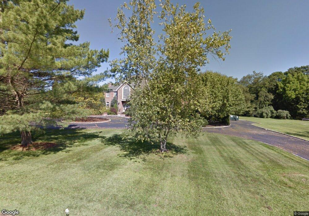
2 Daniel Ct Westport, CT 06880
Staples NeighborhoodEstimated Value: $2,820,000 - $3,729,000
5
Beds
6
Baths
5,593
Sq Ft
$588/Sq Ft
Est. Value
About This Home
This home is located at 2 Daniel Ct, Westport, CT 06880 and is currently estimated at $3,286,166, approximately $587 per square foot. 2 Daniel Ct is a home located in Fairfield County with nearby schools including Long Lots School, Bedford Middle School, and Staples High School.
Ownership History
Date
Name
Owned For
Owner Type
Purchase Details
Closed on
Apr 18, 2011
Sold by
Levi H Andrew and Levi Cynthia A
Bought by
Cua G Felix and Cua Christine C
Current Estimated Value
Home Financials for this Owner
Home Financials are based on the most recent Mortgage that was taken out on this home.
Original Mortgage
$1,000,000
Outstanding Balance
$671,902
Interest Rate
4.25%
Estimated Equity
$2,614,264
Purchase Details
Closed on
Dec 15, 1988
Sold by
Mattera Contracting
Bought by
Stuart Schloss
Create a Home Valuation Report for This Property
The Home Valuation Report is an in-depth analysis detailing your home's value as well as a comparison with similar homes in the area
Home Values in the Area
Average Home Value in this Area
Purchase History
| Date | Buyer | Sale Price | Title Company |
|---|---|---|---|
| Cua G Felix | $1,500,000 | -- | |
| Cua G Felix G | $1,500,000 | -- | |
| Stuart Schloss | $975,000 | -- |
Source: Public Records
Mortgage History
| Date | Status | Borrower | Loan Amount |
|---|---|---|---|
| Open | Stuart Schloss | $1,000,000 | |
| Closed | Stuart Schloss | $1,000,000 |
Source: Public Records
Tax History
| Year | Tax Paid | Tax Assessment Tax Assessment Total Assessment is a certain percentage of the fair market value that is determined by local assessors to be the total taxable value of land and additions on the property. | Land | Improvement |
|---|---|---|---|---|
| 2025 | $28,018 | $1,485,600 | $482,400 | $1,003,200 |
| 2024 | $27,662 | $1,485,600 | $482,400 | $1,003,200 |
| 2023 | $27,261 | $1,485,600 | $482,400 | $1,003,200 |
| 2022 | $26,845 | $1,485,600 | $482,400 | $1,003,200 |
| 2021 | $26,845 | $1,485,600 | $482,400 | $1,003,200 |
| 2020 | $3,836 | $1,569,200 | $485,300 | $1,083,900 |
| 2019 | $3,836 | $1,569,200 | $485,300 | $1,083,900 |
| 2018 | $26,457 | $1,569,200 | $485,300 | $1,083,900 |
| 2017 | $26,457 | $1,569,200 | $485,300 | $1,083,900 |
| 2016 | $24,987 | $1,482,000 | $485,300 | $996,700 |
| 2015 | $27,614 | $1,526,500 | $426,600 | $1,099,900 |
| 2014 | $24,425 | $1,361,500 | $426,600 | $934,900 |
Source: Public Records
Map
Nearby Homes
- 2177 Cross Hwy
- 110 Queens Grant Dr
- 21 Sturges Commons
- 10 Debra Ln
- 1 Sturges Hwy Unit 2
- 1 Angora Rd
- 688 Hulls Farm Rd
- 6 Nutcracker Ln
- 1380 Old Academy Rd
- 13 Terhune Dr
- 44 Pumpkin Hill Rd
- 3 Hunt Club Ln
- 2683 Bronson Rd
- 212 Fence Row Dr
- 16 Burr School Rd
- 88 Merry Meet Cir
- 14 Burr School Rd
- 10 Charcoal Hill Rd
- 107 Old Rd
- 40 Maple Ave N
Your Personal Tour Guide
Ask me questions while you tour the home.