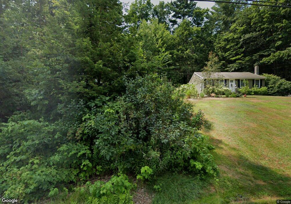
2 David Dr Raymond, NH 03077
Estimated Value: $375,369 - $442,000
2
Beds
1
Bath
816
Sq Ft
$507/Sq Ft
Est. Value
About This Home
This home is located at 2 David Dr, Raymond, NH 03077 and is currently estimated at $413,342, approximately $506 per square foot. 2 David Dr is a home located in Rockingham County with nearby schools including Lamprey River Elementary School, Iber Holmes Gove Middle School, and Raymond High School.
Ownership History
Date
Name
Owned For
Owner Type
Purchase Details
Closed on
May 17, 2004
Sold by
Carter Shane and Carter Robin
Bought by
Monahan Kathleen
Current Estimated Value
Home Financials for this Owner
Home Financials are based on the most recent Mortgage that was taken out on this home.
Original Mortgage
$201,000
Outstanding Balance
$94,042
Interest Rate
5.47%
Mortgage Type
Purchase Money Mortgage
Estimated Equity
$319,300
Purchase Details
Closed on
Feb 28, 2001
Sold by
Blackwell Kevin J and Blackwell Diane J
Bought by
Enegess Robin E
Home Financials for this Owner
Home Financials are based on the most recent Mortgage that was taken out on this home.
Original Mortgage
$131,950
Interest Rate
7%
Create a Home Valuation Report for This Property
The Home Valuation Report is an in-depth analysis detailing your home's value as well as a comparison with similar homes in the area
Home Values in the Area
Average Home Value in this Area
Purchase History
| Date | Buyer | Sale Price | Title Company |
|---|---|---|---|
| Monahan Kathleen | $212,000 | -- | |
| Enegess Robin E | $133,000 | -- |
Source: Public Records
Mortgage History
| Date | Status | Borrower | Loan Amount |
|---|---|---|---|
| Open | Enegess Robin E | $201,000 | |
| Previous Owner | Enegess Robin E | $131,950 |
Source: Public Records
Tax History
| Year | Tax Paid | Tax Assessment Tax Assessment Total Assessment is a certain percentage of the fair market value that is determined by local assessors to be the total taxable value of land and additions on the property. | Land | Improvement |
|---|---|---|---|---|
| 2024 | $5,594 | $255,300 | $117,700 | $137,600 |
| 2023 | $5,290 | $255,300 | $117,700 | $137,600 |
| 2022 | $4,669 | $255,300 | $117,700 | $137,600 |
| 2021 | $4,726 | $255,300 | $117,700 | $137,600 |
| 2020 | $4,897 | $186,900 | $84,200 | $102,700 |
| 2019 | $4,970 | $186,900 | $84,200 | $102,700 |
| 2018 | $4,925 | $186,900 | $84,200 | $102,700 |
| 2017 | $4,523 | $186,900 | $84,200 | $102,700 |
| 2016 | $4,437 | $186,900 | $84,200 | $102,700 |
| 2015 | $4,299 | $171,400 | $84,200 | $87,200 |
| 2014 | $4,170 | $171,400 | $84,200 | $87,200 |
| 2013 | $4,099 | $173,400 | $84,200 | $89,200 |
Source: Public Records
Map
Nearby Homes
- M20 L45 Green Rd
- 10 Richard Ct
- 0 Lane Rd Unit 39
- Lot 37-3 Blaisdell Ct
- 29 Blaisdell Ct
- 25 Blaisdell Ct Unit 18
- 7 Bald Hill Rd
- 15 Bald Hill Rd
- 34 Scribner Rd
- 0 Eastside Dr Unit 33
- 12-19 Dump Rd
- 0 Taft Way Unit 4
- 18 Manorview Dr
- 5 Blaisdell Ct
- 202 Route 27 Unit 31
- 13 Blaisdell Ct Unit 10
- 14 Mica Dr Unit 3
- 22 Mica Dr Unit 7
- 10 Mica Dr Unit 1
- 12 Mica Dr Unit 2
Your Personal Tour Guide
Ask me questions while you tour the home.