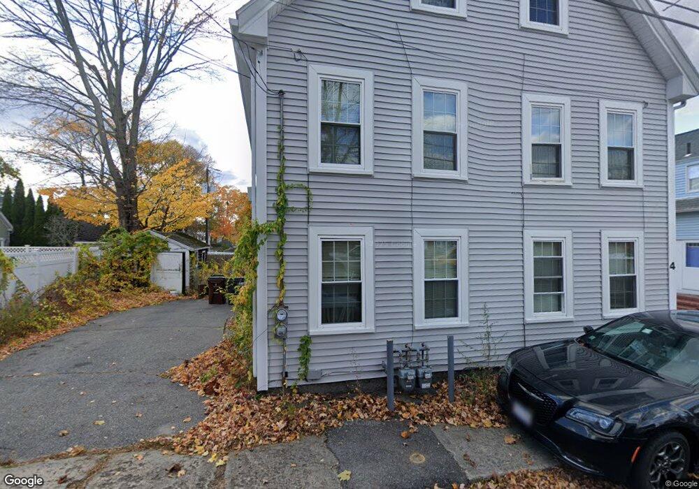
2 Davis Ct Amesbury, MA 01913
Estimated Value: $562,000 - $735,000
6
Beds
3
Baths
2,471
Sq Ft
$253/Sq Ft
Est. Value
About This Home
This home is located at 2 Davis Ct, Amesbury, MA 01913 and is currently estimated at $625,294, approximately $253 per square foot. 2 Davis Ct is a home located in Essex County with nearby schools including Amesbury High School and Amesbury Seventh-Day Adventist School.
Ownership History
Date
Name
Owned For
Owner Type
Purchase Details
Closed on
Mar 21, 2011
Sold by
Baker Stephen J
Bought by
Abel Realty Llc
Current Estimated Value
Home Financials for this Owner
Home Financials are based on the most recent Mortgage that was taken out on this home.
Original Mortgage
$100,000
Interest Rate
4.84%
Purchase Details
Closed on
Mar 9, 2011
Sold by
Cusack Deborah L
Bought by
Wells Fargo Bk
Home Financials for this Owner
Home Financials are based on the most recent Mortgage that was taken out on this home.
Original Mortgage
$100,000
Interest Rate
4.84%
Purchase Details
Closed on
Oct 28, 2003
Sold by
Perley Allen N and Perley Harriett A
Bought by
Cusack Deborah L
Purchase Details
Closed on
Nov 28, 1994
Sold by
Morin Paul D
Bought by
Perley Allen M and Perley Harriett A
Create a Home Valuation Report for This Property
The Home Valuation Report is an in-depth analysis detailing your home's value as well as a comparison with similar homes in the area
Home Values in the Area
Average Home Value in this Area
Purchase History
| Date | Buyer | Sale Price | Title Company |
|---|---|---|---|
| Abel Realty Llc | -- | -- | |
| Baker Stephen J | $130,000 | -- | |
| Wells Fargo Bk | $237,350 | -- | |
| Cusack Deborah L | $315,000 | -- | |
| Perley Allen M | $105,000 | -- |
Source: Public Records
Mortgage History
| Date | Status | Borrower | Loan Amount |
|---|---|---|---|
| Open | Perley Allen M | $150,000 | |
| Closed | Perley Allen M | $100,000 | |
| Previous Owner | Perley Allen M | $336,000 |
Source: Public Records
Tax History
| Year | Tax Paid | Tax Assessment Tax Assessment Total Assessment is a certain percentage of the fair market value that is determined by local assessors to be the total taxable value of land and additions on the property. | Land | Improvement |
|---|---|---|---|---|
| 2025 | $7,523 | $491,700 | $186,500 | $305,200 |
| 2024 | $7,421 | $474,500 | $175,900 | $298,600 |
| 2023 | $7,379 | $451,600 | $153,000 | $298,600 |
| 2022 | $6,529 | $369,100 | $133,000 | $236,100 |
| 2021 | $6,882 | $377,100 | $102,800 | $274,300 |
| 2020 | $6,154 | $358,200 | $98,800 | $259,400 |
| 2019 | $5,246 | $285,600 | $98,800 | $186,800 |
| 2018 | $4,839 | $254,800 | $94,100 | $160,700 |
| 2017 | $4,860 | $243,600 | $94,100 | $149,500 |
| 2016 | $4,752 | $234,300 | $94,100 | $140,200 |
| 2015 | $4,813 | $234,300 | $94,100 | $140,200 |
| 2014 | $4,913 | $234,300 | $94,100 | $140,200 |
Source: Public Records
Map
Nearby Homes
- 1 Hillside Ave Unit 3
- 4 Clark St
- 48 Orchard St
- 3 Tremont Ave Unit A
- 4 Greenwood St
- 97 Elm St
- 25 Cedar St Unit 4
- 101 Market St Unit B
- 105 Market St Unit B
- 21 River St
- 253 Main St
- 21 Congress St
- 149 Market St
- 382 Main St
- 1 Brown Ave Unit 1-25
- 25 Whittier Meadows Dr
- 47 Cutter Ln Unit 47
- 19 Cutter Ln Unit 19
- 60 Merrimac St Unit 504
- 20 Mason Ct
- 6 Davis Ct
- 6 Davis Ct
- 85 Friend St
- 83 Friend St
- 83 Friend St Unit 1
- 83 Friend St Unit 83
- 85 Friend St Unit 1
- 7 Summer St
- 5 Summer St
- 5 Summer St Unit 1
- 5 Summer St
- 79 Friend St
- 81 Friend St
- 10 Davis Ct
- 87 Friend St Unit B
- 87 Friend St Unit 87
- 87 Friend St
- 91 Friend St Unit B
- 91 Friend St Unit A
- 2-4 Davis Ct
Your Personal Tour Guide
Ask me questions while you tour the home.