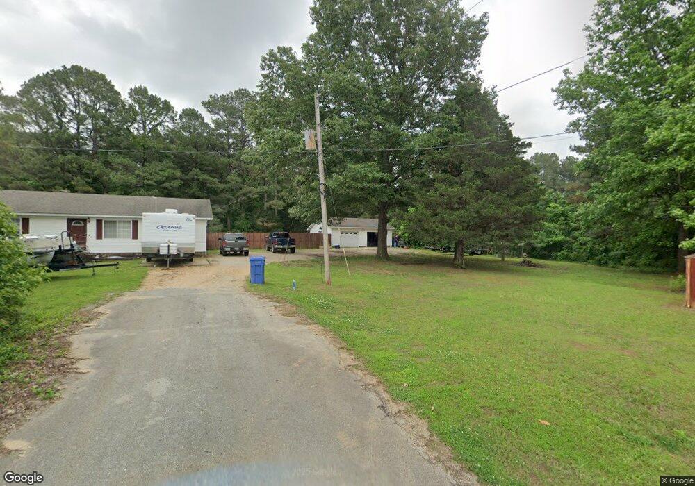
2 Debbie Dr Paragould, AR 72450
Estimated Value: $40,000 - $119,000
--
Bed
--
Bath
--
Sq Ft
0.54
Acres
About This Home
This home is located at 2 Debbie Dr, Paragould, AR 72450 and is currently estimated at $76,340. 2 Debbie Dr is a home located in Greene County with nearby schools including Paragould High School.
Ownership History
Date
Name
Owned For
Owner Type
Purchase Details
Closed on
Jun 19, 1997
Bought by
Mike G Trowbridge
Current Estimated Value
Purchase Details
Closed on
Mar 7, 1997
Bought by
Williams Barry D and Williams Lisa G
Purchase Details
Closed on
Jan 10, 1997
Bought by
Leon and Freda Carter
Purchase Details
Closed on
Jan 17, 1996
Bought by
Gary and Debora Miller
Purchase Details
Closed on
Sep 15, 1995
Bought by
Velma J Pyburn
Purchase Details
Closed on
Jun 16, 1993
Bought by
Cheryl L Lindsay
Purchase Details
Closed on
Dec 23, 1992
Bought by
Blandon Lee Barnett
Purchase Details
Closed on
Mar 19, 1979
Bought by
Morris D White
Purchase Details
Closed on
Apr 25, 1978
Bought by
White Morris D and White Bertha E
Create a Home Valuation Report for This Property
The Home Valuation Report is an in-depth analysis detailing your home's value as well as a comparison with similar homes in the area
Home Values in the Area
Average Home Value in this Area
Purchase History
| Date | Buyer | Sale Price | Title Company |
|---|---|---|---|
| Mike G Trowbridge | $5,000 | -- | |
| Williams Barry D | $10,000 | -- | |
| Leon | $5,000 | -- | |
| Gary | $9,000 | -- | |
| Cheryl L Lindsay | -- | -- | |
| Velma J Pyburn | -- | -- | |
| Cheryl L Lindsay | -- | -- | |
| Cheryl L Lindsay | -- | -- | |
| Blandon Lee Barnett | -- | -- | |
| Morris D White | -- | -- | |
| White Morris D | -- | -- |
Source: Public Records
Tax History Compared to Growth
Tax History
| Year | Tax Paid | Tax Assessment Tax Assessment Total Assessment is a certain percentage of the fair market value that is determined by local assessors to be the total taxable value of land and additions on the property. | Land | Improvement |
|---|---|---|---|---|
| 2025 | $152 | $3,600 | $2,000 | $1,600 |
| 2024 | $139 | $3,600 | $2,000 | $1,600 |
| 2023 | $127 | $2,800 | $1,200 | $1,600 |
| 2022 | $127 | $2,800 | $1,200 | $1,600 |
| 2021 | $127 | $2,800 | $1,200 | $1,600 |
| 2020 | $146 | $3,220 | $1,200 | $2,020 |
| 2019 | $146 | $3,220 | $1,200 | $2,020 |
| 2018 | $139 | $3,220 | $1,200 | $2,020 |
| 2017 | $126 | $3,220 | $1,200 | $2,020 |
| 2016 | $115 | $3,220 | $1,200 | $2,020 |
| 2015 | $86 | $3,260 | $1,200 | $2,060 |
| 2014 | $80 | $3,260 | $1,200 | $2,060 |
Source: Public Records
Map
Nearby Homes
- 5.38 AC Highway 135 N
- 146 Messer Dr
- 205 Raymond
- 181 Misty Marie
- 422 Sunset Dr
- 193 Granny Jean Ln
- 522 Vaughn Dr
- 1 Acre Hwy 34 W
- 44 Oak Grove Rd
- 233 Lois Ln
- 9496 Arkansas 135
- 1094 Greene Road 508
- 1387 Greene Road 517
- 197 Greene Road 535
- 0 Greene 611 Tract A East Rd
- 00 Off Hwy 135 N
- 3 Highway 135 N
- 1904 Greene Road 516
- TBD Greene Road 611
- Tract 4 Greene 726 Rd