2 Doe Dr Columbia, NJ 07832
Estimated Value: $621,000 - $704,000
--
Bed
--
Bath
3,072
Sq Ft
$215/Sq Ft
Est. Value
About This Home
This home is located at 2 Doe Dr, Columbia, NJ 07832 and is currently estimated at $661,740, approximately $215 per square foot. 2 Doe Dr is a home located in Warren County with nearby schools including Blairstown Elementary School and North Warren Regional School.
Ownership History
Date
Name
Owned For
Owner Type
Purchase Details
Closed on
Aug 17, 2012
Sold by
Wetzel Michael and Wetzel Tirza
Bought by
Wetzel Michael and Wetzel Tirza
Current Estimated Value
Home Financials for this Owner
Home Financials are based on the most recent Mortgage that was taken out on this home.
Original Mortgage
$128,775
Outstanding Balance
$88,957
Interest Rate
3.61%
Mortgage Type
New Conventional
Estimated Equity
$572,783
Purchase Details
Closed on
May 29, 1996
Sold by
Citicorp Mtg Inc
Bought by
Wetzel Michael and Wentz Tirza
Home Financials for this Owner
Home Financials are based on the most recent Mortgage that was taken out on this home.
Original Mortgage
$168,000
Interest Rate
7.91%
Purchase Details
Closed on
Dec 4, 1995
Sold by
Kelley Don R
Bought by
Citicorp Mtg Inc
Create a Home Valuation Report for This Property
The Home Valuation Report is an in-depth analysis detailing your home's value as well as a comparison with similar homes in the area
Home Values in the Area
Average Home Value in this Area
Purchase History
| Date | Buyer | Sale Price | Title Company |
|---|---|---|---|
| Wetzel Michael | -- | Mega Title Llc | |
| Wetzel Michael | $210,000 | -- | |
| Citicorp Mtg Inc | -- | -- |
Source: Public Records
Mortgage History
| Date | Status | Borrower | Loan Amount |
|---|---|---|---|
| Open | Wetzel Michael | $128,775 | |
| Previous Owner | Wetzel Michael | $168,000 | |
| Closed | Citicorp Mtg Inc | -- |
Source: Public Records
Tax History Compared to Growth
Tax History
| Year | Tax Paid | Tax Assessment Tax Assessment Total Assessment is a certain percentage of the fair market value that is determined by local assessors to be the total taxable value of land and additions on the property. | Land | Improvement |
|---|---|---|---|---|
| 2025 | $11,939 | $385,000 | $124,700 | $260,300 |
| 2024 | $11,096 | $385,000 | $124,700 | $260,300 |
| 2023 | $10,869 | $385,000 | $124,700 | $260,300 |
| 2022 | $10,869 | $385,000 | $124,700 | $260,300 |
| 2021 | $9,860 | $385,000 | $124,700 | $260,300 |
| 2020 | $9,517 | $385,000 | $124,700 | $260,300 |
| 2019 | $8,855 | $385,000 | $124,700 | $260,300 |
| 2018 | $8,855 | $385,000 | $124,700 | $260,300 |
| 2017 | $8,886 | $385,000 | $124,700 | $260,300 |
| 2016 | $8,917 | $385,000 | $124,700 | $260,300 |
| 2015 | $8,763 | $385,000 | $124,700 | $260,300 |
| 2014 | $8,593 | $385,000 | $124,700 | $260,300 |
Source: Public Records
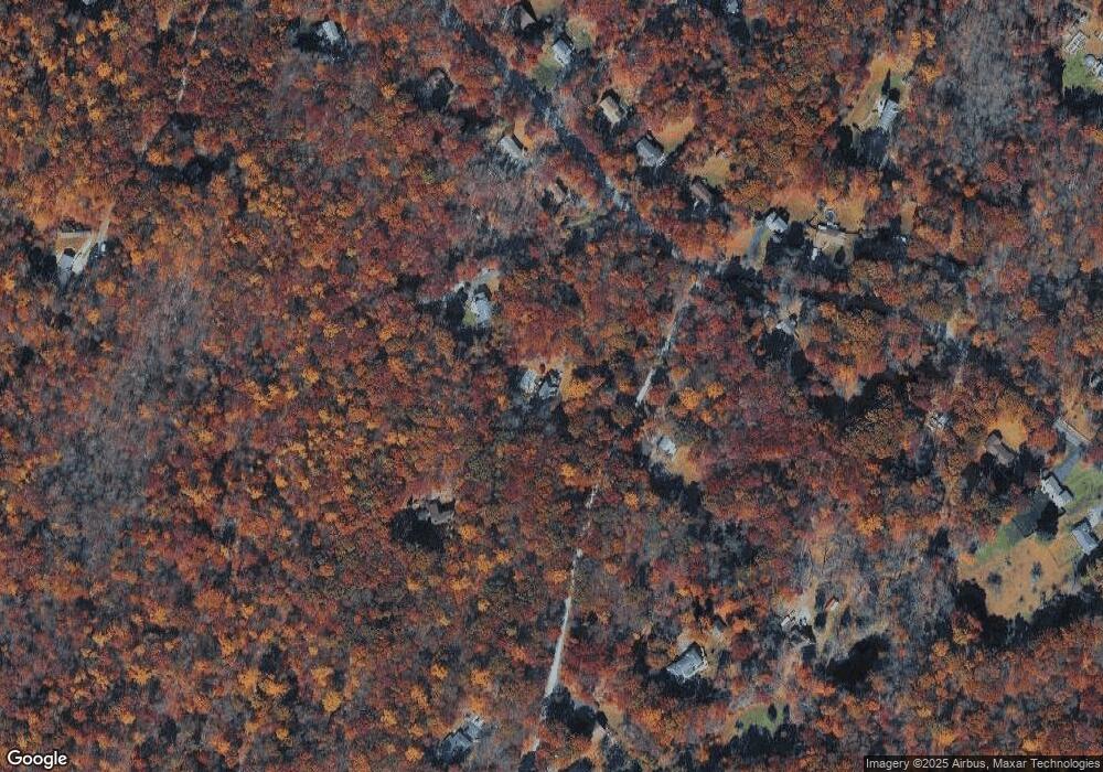
Map
Nearby Homes
- 0 Mount Vernon Rd
- 00 Walnut Valley Rd
- 6 Mountain Terrace
- 87 Walnut Valley Rd
- 34 Stony Brook Rd
- 163 New Jersey 94
- 60 Vail Rd
- 20 Polkville Rd
- 17 Bear Cave Rd
- 18 W Crisman Rd
- 0 Cedar Lake Rd Unit 3936605
- 1 Four Corners Rd
- 42 Gaisler Rd
- 85 Mohican Rd
- 80 Mohican Rd
- 5 Alice Ct
- 143 Vail Rd
- 3 Hoagland Rd
- 5 Bingham Ln
- 3 Hickory Ridge Dr
- 1 Doe Dr
- 4 Doe Dr
- 71 Mount Vernon Rd
- 65 Mount Vernon Rd
- 73 Mount Vernon Rd
- 76 Mount Vernon Rd
- 78 Mount Vernon Rd
- 80 Mount Vernon Rd
- 74 Mount Vernon Rd
- 3 Doe Dr
- 72 Mount Vernon Rd
- 75 Mount Vernon Rd
- 6 Star Lite Hhill Rd
- 84 Mount Vernon Rd
- 5 Doe Dr
- 63 Mount Vernon Rd
- 67 Mount Vernon Rd
- 476 Rte94
- 6 Doe Dr
- 70 Mount Vernon Rd