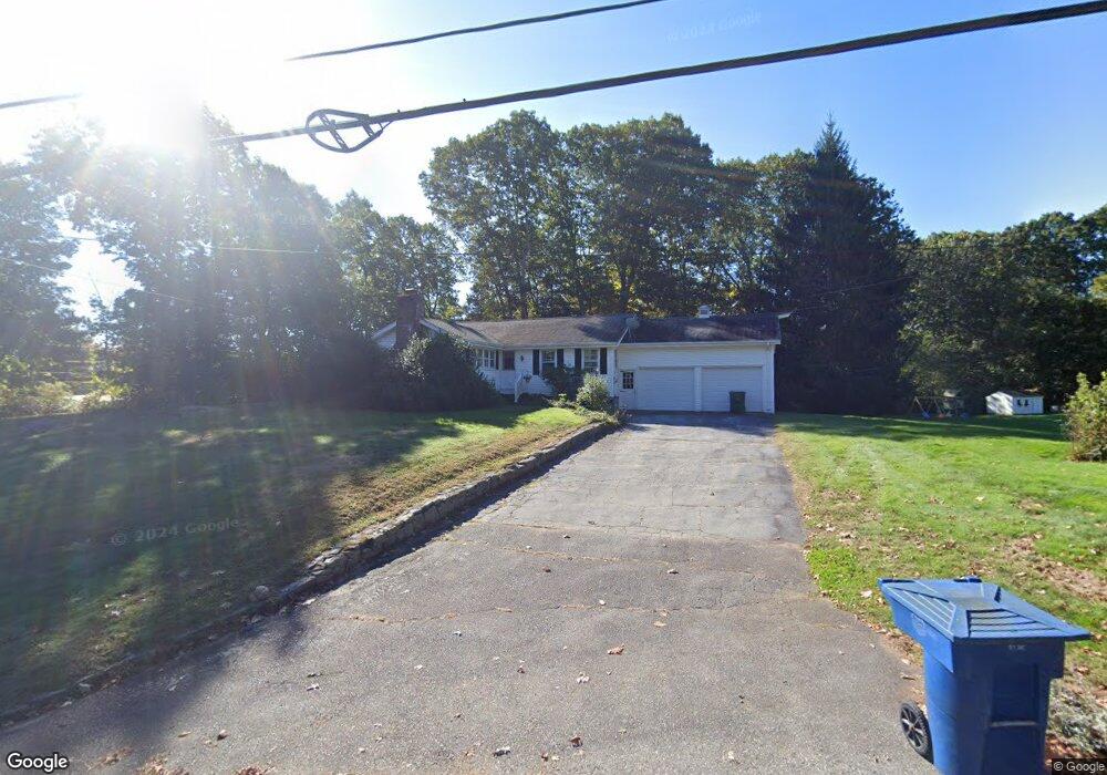
2 Dunbar Rd Quaker Hill, CT 06375
Estimated Value: $355,000 - $376,000
2
Beds
1
Bath
1,160
Sq Ft
$315/Sq Ft
Est. Value
About This Home
This home is located at 2 Dunbar Rd, Quaker Hill, CT 06375 and is currently estimated at $365,188, approximately $314 per square foot. 2 Dunbar Rd is a home located in New London County with nearby schools including Clark Lane Middle School, Waterford High School, and The Williams School.
Ownership History
Date
Name
Owned For
Owner Type
Purchase Details
Closed on
Jan 7, 2013
Sold by
Dunbar Joan A
Bought by
Krodel Deborah L and Dunbar Dennis K
Current Estimated Value
Purchase Details
Closed on
Jul 31, 1996
Sold by
Dunbar Dennis K and Dunbar Jessica D
Bought by
Dunbar Kenneth A and Dunbar Joan A
Purchase Details
Closed on
Dec 18, 1992
Sold by
Scott Lorraine D
Bought by
Dunbar Dennis and Dunbar Jessica D
Home Financials for this Owner
Home Financials are based on the most recent Mortgage that was taken out on this home.
Original Mortgage
$50,000
Interest Rate
8.3%
Mortgage Type
Purchase Money Mortgage
Create a Home Valuation Report for This Property
The Home Valuation Report is an in-depth analysis detailing your home's value as well as a comparison with similar homes in the area
Home Values in the Area
Average Home Value in this Area
Purchase History
| Date | Buyer | Sale Price | Title Company |
|---|---|---|---|
| Krodel Deborah L | -- | -- | |
| Dunbar Kenneth A | $128,000 | -- | |
| Dunbar Dennis | $73,800 | -- |
Source: Public Records
Mortgage History
| Date | Status | Borrower | Loan Amount |
|---|---|---|---|
| Previous Owner | Dunbar Dennis | $15,000 | |
| Previous Owner | Dunbar Dennis | $50,000 |
Source: Public Records
Tax History Compared to Growth
Tax History
| Year | Tax Paid | Tax Assessment Tax Assessment Total Assessment is a certain percentage of the fair market value that is determined by local assessors to be the total taxable value of land and additions on the property. | Land | Improvement |
|---|---|---|---|---|
| 2025 | $4,514 | $193,240 | $79,170 | $114,070 |
| 2024 | $4,309 | $193,240 | $79,170 | $114,070 |
| 2023 | $4,097 | $193,240 | $79,170 | $114,070 |
| 2022 | $3,901 | $141,550 | $56,500 | $85,050 |
| 2021 | $3,912 | $141,550 | $56,500 | $85,050 |
| 2020 | $3,945 | $141,550 | $56,500 | $85,050 |
| 2019 | $3,961 | $141,550 | $56,500 | $85,050 |
| 2018 | $3,881 | $141,550 | $56,500 | $85,050 |
| 2017 | $3,605 | $133,380 | $50,220 | $83,160 |
| 2016 | $3,572 | $133,380 | $50,220 | $83,160 |
| 2015 | $3,445 | $133,380 | $50,220 | $83,160 |
| 2014 | $3,445 | $133,380 | $50,220 | $83,160 |
Source: Public Records
Map
Nearby Homes
- 18 Richards Grove Rd
- 9 James Ave
- 64 Scotch Cap Rd Unit 102
- 62 Benham Ave
- 176 Old Norwich Rd
- 118 Bloomingdale Rd
- 205 Old Norwich Rd
- 10 Hillcrest Dr
- 621 Military Hwy
- 1 E Lake Dr
- 1260 Route 12
- 625 Vauxhall Street Extension
- 4 Meadow Dr
- 95 Murphys Dr Unit 95
- 30 Margaret St
- 330 Crystal Ave Unit 3
- 47 Kenyon Rd
- 14 N Phillips St
- 171 Norwood Ave
- 47 Phillips St