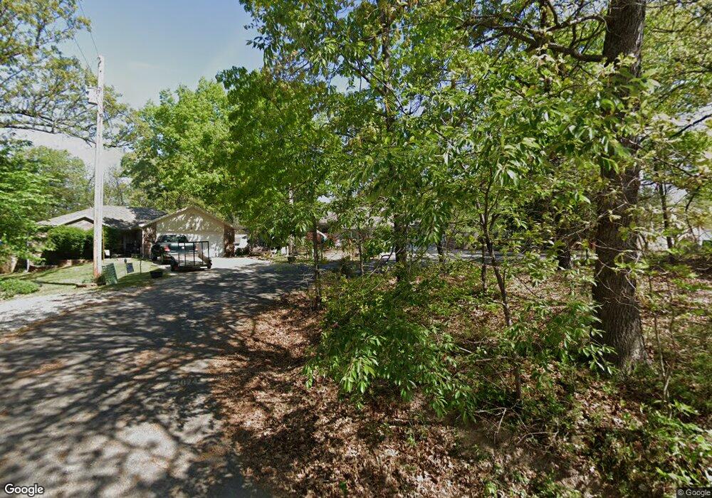
2 Dunsford Cir Bella Vista, AR 72715
Estimated Value: $388,000 - $439,000
--
Bed
3
Baths
2,032
Sq Ft
$200/Sq Ft
Est. Value
About This Home
This home is located at 2 Dunsford Cir, Bella Vista, AR 72715 and is currently estimated at $406,874, approximately $200 per square foot. 2 Dunsford Cir is a home located in Benton County with nearby schools including Thomas Jefferson Elementary School, Lincoln Junior High School, and Old High Middle School.
Ownership History
Date
Name
Owned For
Owner Type
Purchase Details
Closed on
Oct 22, 2024
Sold by
Ott John T and Lambert Cheryl K
Bought by
Ottbert Trust and Ott
Current Estimated Value
Purchase Details
Closed on
Jul 7, 1999
Bought by
Ward
Purchase Details
Closed on
Mar 27, 1997
Bought by
Fredricks
Purchase Details
Closed on
Mar 13, 1995
Bought by
Curry Rev Tr
Purchase Details
Closed on
Mar 2, 1992
Bought by
M Curry Trust
Purchase Details
Closed on
Jun 15, 1983
Bought by
Curry
Create a Home Valuation Report for This Property
The Home Valuation Report is an in-depth analysis detailing your home's value as well as a comparison with similar homes in the area
Home Values in the Area
Average Home Value in this Area
Purchase History
| Date | Buyer | Sale Price | Title Company |
|---|---|---|---|
| Ottbert Trust | -- | None Listed On Document | |
| Ward | $159,000 | -- | |
| Fredricks | $2,000 | -- | |
| Curry James Dec'D 10-31-91 | -- | -- | |
| Curry Rev Tr | -- | -- | |
| M Curry Trust | -- | -- | |
| Curry | -- | -- |
Source: Public Records
Tax History Compared to Growth
Tax History
| Year | Tax Paid | Tax Assessment Tax Assessment Total Assessment is a certain percentage of the fair market value that is determined by local assessors to be the total taxable value of land and additions on the property. | Land | Improvement |
|---|---|---|---|---|
| 2025 | $2,147 | $76,000 | $1,600 | $74,400 |
| 2024 | $2,125 | $76,000 | $1,600 | $74,400 |
| 2023 | $2,125 | $51,580 | $800 | $50,780 |
| 2022 | $1,819 | $51,580 | $800 | $50,780 |
| 2021 | $1,814 | $51,580 | $800 | $50,780 |
| 2020 | $1,833 | $36,190 | $600 | $35,590 |
| 2019 | $1,833 | $36,190 | $600 | $35,590 |
| 2018 | $1,858 | $36,190 | $600 | $35,590 |
| 2017 | $1,775 | $36,190 | $600 | $35,590 |
| 2016 | $1,775 | $36,190 | $600 | $35,590 |
| 2015 | $2,085 | $34,570 | $1,000 | $33,570 |
| 2014 | $1,735 | $34,570 | $1,000 | $33,570 |
Source: Public Records
Map
Nearby Homes
- TBD Dunsford Dr
- Lot 23 of Block 1 Dunsford Dr
- 30 Kensington Dr
- Lot 26 Block 2 Kensington Dr
- 4 Frensham Ln
- 13 Kensington Dr
- 55 Portsmouth Dr
- 0 Portsmouth Dr Unit 1319021
- 0 Chelmsworth Dr Unit 1294164
- Lot 22 Chelmsworth Dr
- 0 Chelmsworth Dr Unit 1327558
- 22 Pembroke Ln
- 18 Worstead Ln
- Lot 1 of Block 3 London Dr
- 0 Pimlico Dr
- 6 & 8 Gail Ln
- TBD (Lot 17) Pimlico Dr
- Lot 3 of Block 3 Queensborough Dr
- 2 Portland Ln
- 105 Pimlico Dr
- 2206 Dunsford Cir
- 4 Dunsford Cir
- 28 Dunsford Dr
- 38 Dunsford Dr
- - Dunsford Cir
- 0 Dunsford Ln Unit 283693
- 0 Dunsford Ln Unit 289449
- 0 Dunsford Ln Unit 343937
- 0 Dunsford Ln Unit 369170
- 0 Dunsford Ln Unit 1042154
- 0 Dunsford Ln Unit 1154266
- 8 Dunsford Cir
- 0 Dunsford Cir
- 11 Whitfield Ln
- 1 Whitfield Ln
- 7 Whitfield Ln
- 35 Dunsford Dr
- 36 Dunsford Dr
- 0 Whitfield Ln
- 14475 Whitfield Ln