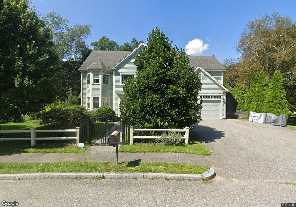
2 Duval Way Bedford, MA 01730
Estimated Value: $1,787,061 - $2,140,000
5
Beds
4
Baths
3,898
Sq Ft
$504/Sq Ft
Est. Value
About This Home
This home is located at 2 Duval Way, Bedford, MA 01730 and is currently estimated at $1,966,515, approximately $504 per square foot. 2 Duval Way is a home located in Middlesex County with nearby schools including Lt. Elezer Davis Elementary School, Lt .Job Lane Elementary School, and John Glenn Middle School.
Ownership History
Date
Name
Owned For
Owner Type
Purchase Details
Closed on
Aug 20, 2013
Sold by
Ford Katharine and Revesz Tomas
Bought by
Ford Katharine
Current Estimated Value
Purchase Details
Closed on
Jan 30, 2009
Sold by
Richman Bethany A and Richman Michael S
Bought by
Ford Katharine and Revesz Tomas
Home Financials for this Owner
Home Financials are based on the most recent Mortgage that was taken out on this home.
Original Mortgage
$633,500
Interest Rate
5.28%
Mortgage Type
Purchase Money Mortgage
Create a Home Valuation Report for This Property
The Home Valuation Report is an in-depth analysis detailing your home's value as well as a comparison with similar homes in the area
Home Values in the Area
Average Home Value in this Area
Purchase History
| Date | Buyer | Sale Price | Title Company |
|---|---|---|---|
| Ford Katharine | -- | -- | |
| Ford Katharine | $905,000 | -- |
Source: Public Records
Mortgage History
| Date | Status | Borrower | Loan Amount |
|---|---|---|---|
| Previous Owner | Ford Katharine | $633,500 |
Source: Public Records
Tax History
| Year | Tax Paid | Tax Assessment Tax Assessment Total Assessment is a certain percentage of the fair market value that is determined by local assessors to be the total taxable value of land and additions on the property. | Land | Improvement |
|---|---|---|---|---|
| 2025 | $197 | $1,639,300 | $528,800 | $1,110,500 |
| 2024 | $18,549 | $1,561,400 | $503,700 | $1,057,700 |
| 2023 | $17,134 | $1,372,900 | $475,700 | $897,200 |
| 2022 | $16,946 | $1,247,900 | $466,300 | $781,600 |
| 2021 | $16,758 | $1,238,600 | $457,000 | $781,600 |
| 2020 | $16,325 | $1,238,600 | $457,000 | $781,600 |
| 2019 | $16,052 | $1,238,600 | $457,000 | $781,600 |
| 2018 | $14,276 | $1,039,000 | $399,600 | $639,400 |
| 2017 | $15,244 | $1,029,300 | $389,900 | $639,400 |
| 2016 | $14,510 | $949,600 | $354,400 | $595,200 |
| 2015 | $13,883 | $949,600 | $354,400 | $595,200 |
| 2014 | $14,312 | $911,000 | $335,800 | $575,200 |
Source: Public Records
Map
Nearby Homes
- 389 Concord Rd
- 6 Parker Rd
- 25 Glenridge Dr
- 7 Blue Heron Way
- 1 Hillcrest Rd
- 186 Concord Rd
- 28 Hatch Farm Ln
- 22 Hatch Farm Ln
- 10 Hatch Farm Ln
- 16 Hatch Farm Ln
- 45 Winterberry Way
- 82 Ash St
- 1409 Monument St
- 389 River Rd
- 425 Bedford St
- 1437-3 Monument St
- 612 Lexington Rd
- 96 Independence Rd
- 210 Monument Farm Rd
- 5 South Commons Unit D
Your Personal Tour Guide
Ask me questions while you tour the home.