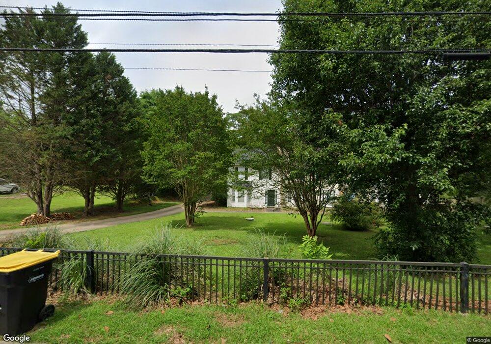
2 Elm Cir Newnan, GA 30263
Estimated Value: $174,214 - $252,000
3
Beds
1
Bath
984
Sq Ft
$211/Sq Ft
Est. Value
About This Home
This home is located at 2 Elm Cir, Newnan, GA 30263 and is currently estimated at $207,804, approximately $211 per square foot. 2 Elm Cir is a home located in Coweta County with nearby schools including Elm Street Elementary School, Evans Middle School, and Newnan High School.
Ownership History
Date
Name
Owned For
Owner Type
Purchase Details
Closed on
Jan 4, 2001
Sold by
Cranford John H and Cranford Carolyn B
Bought by
Thompson Dianne
Current Estimated Value
Home Financials for this Owner
Home Financials are based on the most recent Mortgage that was taken out on this home.
Original Mortgage
$60,800
Outstanding Balance
$29,112
Interest Rate
11.99%
Mortgage Type
New Conventional
Estimated Equity
$178,692
Purchase Details
Closed on
Apr 14, 1994
Sold by
Wood Woodie
Bought by
Cranford John Carolyn
Home Financials for this Owner
Home Financials are based on the most recent Mortgage that was taken out on this home.
Original Mortgage
$30,000
Interest Rate
5.25%
Purchase Details
Closed on
Sep 10, 1992
Bought by
Wood Woodie T
Purchase Details
Closed on
Feb 28, 1986
Bought by
Massey George E and Massey Al
Create a Home Valuation Report for This Property
The Home Valuation Report is an in-depth analysis detailing your home's value as well as a comparison with similar homes in the area
Home Values in the Area
Average Home Value in this Area
Purchase History
| Date | Buyer | Sale Price | Title Company |
|---|---|---|---|
| Thompson Dianne | $72,200 | -- | |
| Cranford John Carolyn | $44,000 | -- | |
| Wood Woodie T | $35,000 | -- | |
| Massey George E | $39,000 | -- |
Source: Public Records
Mortgage History
| Date | Status | Borrower | Loan Amount |
|---|---|---|---|
| Open | Thompson Dianne | $60,800 | |
| Previous Owner | Cranford John Carolyn | $30,000 |
Source: Public Records
Tax History Compared to Growth
Tax History
| Year | Tax Paid | Tax Assessment Tax Assessment Total Assessment is a certain percentage of the fair market value that is determined by local assessors to be the total taxable value of land and additions on the property. | Land | Improvement |
|---|---|---|---|---|
| 2025 | $1,098 | $49,876 | $20,000 | $29,876 |
| 2024 | $1,034 | $48,649 | $16,000 | $32,649 |
| 2023 | $1,034 | $41,144 | $16,000 | $25,144 |
| 2022 | $805 | $36,584 | $16,000 | $20,584 |
| 2021 | $508 | $22,486 | $8,000 | $14,486 |
| 2020 | $518 | $22,486 | $8,000 | $14,486 |
| 2019 | $750 | $28,686 | $9,000 | $19,686 |
| 2018 | $753 | $28,686 | $9,000 | $19,686 |
| 2017 | $706 | $27,228 | $9,000 | $18,228 |
| 2016 | $708 | $27,228 | $9,000 | $18,228 |
| 2015 | $579 | $22,899 | $5,400 | $17,499 |
| 2014 | $339 | $14,708 | $4,500 | $10,208 |
Source: Public Records
Map
Nearby Homes
- 1 Ellis Way
- 30 Elm Cir
- 0 Benelli Ridge Unit 10429105
- 61 Clark St
- 3 Northside Dr
- 7 N Annie St
- 33 Ray St
- 16 Hamilton Bohannon Dr
- 144 Jackson St
- 97 W Washington St
- 0 W Hwy 34 Unit 10379383
- 0 W Hwy 34 Unit 7457396
- 0 Georgia 34 Unit 7614778
- 26 Boone Dr
- 71 Spring St
- 7 Fontaine Dr
- 68 Spring St
- 0 N Highway 29 Unit 20115352
- 100 Lovelace St
- 5 Casey Rd