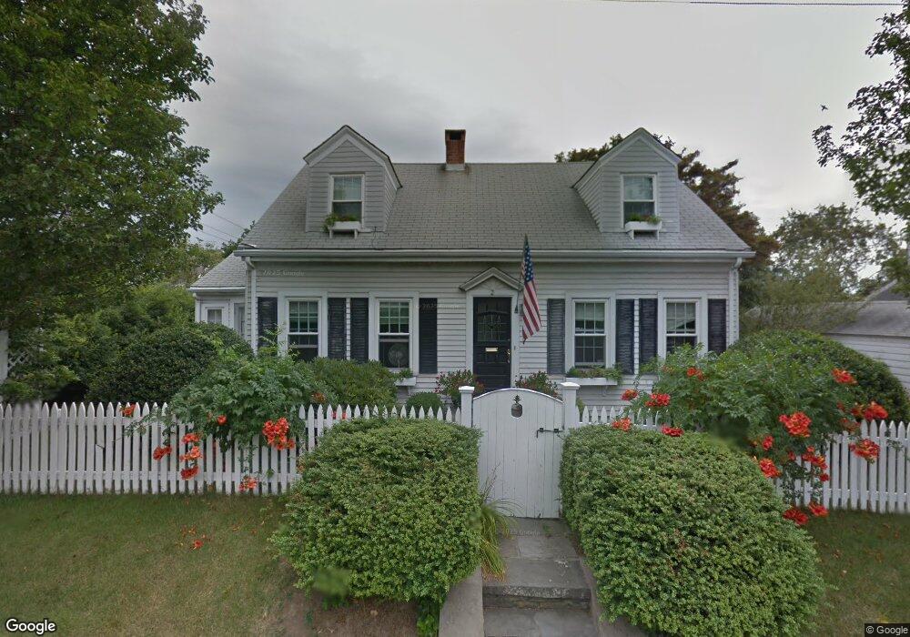
2 Eustis Ave Newport, RI 02840
Eustis-Easton's Pond NeighborhoodEstimated Value: $1,128,000 - $1,326,000
2
Beds
3
Baths
1,700
Sq Ft
$699/Sq Ft
Est. Value
About This Home
This home is located at 2 Eustis Ave, Newport, RI 02840 and is currently estimated at $1,187,553, approximately $698 per square foot. 2 Eustis Ave is a home located in Newport County with nearby schools including Rogers High School, St Michael's Country Day School, and All Saints STEAM Academy.
Ownership History
Date
Name
Owned For
Owner Type
Purchase Details
Closed on
Nov 17, 2023
Sold by
Delnegro John T and Delnegro Linda M
Bought by
John T T and John M L
Current Estimated Value
Purchase Details
Closed on
Oct 11, 2002
Sold by
Sullivan Kenneth M and Sullivan Lori A
Bought by
Delnegro John T and Delnegro Linda M
Purchase Details
Closed on
Mar 7, 1997
Sold by
Jorgenson Myrna A
Bought by
Sullivan Kenneth M and Sullivan Lori
Create a Home Valuation Report for This Property
The Home Valuation Report is an in-depth analysis detailing your home's value as well as a comparison with similar homes in the area
Home Values in the Area
Average Home Value in this Area
Purchase History
| Date | Buyer | Sale Price | Title Company |
|---|---|---|---|
| John T T | -- | None Available | |
| Delnegro John T | $400,000 | -- | |
| Sullivan Kenneth M | $120,000 | -- |
Source: Public Records
Mortgage History
| Date | Status | Borrower | Loan Amount |
|---|---|---|---|
| Previous Owner | Sullivan Kenneth M | $320,000 | |
| Previous Owner | Sullivan Kenneth M | $350,000 | |
| Previous Owner | Sullivan Kenneth M | $75,000 |
Source: Public Records
Tax History
| Year | Tax Paid | Tax Assessment Tax Assessment Total Assessment is a certain percentage of the fair market value that is determined by local assessors to be the total taxable value of land and additions on the property. | Land | Improvement |
|---|---|---|---|---|
| 2025 | $6,990 | $973,500 | $424,900 | $548,600 |
| 2024 | $8,002 | $973,500 | $424,900 | $548,600 |
| 2023 | $5,908 | $595,600 | $250,000 | $345,600 |
| 2022 | $5,724 | $595,600 | $250,000 | $345,600 |
| 2021 | $5,557 | $595,600 | $250,000 | $345,600 |
| 2020 | $5,006 | $487,000 | $213,100 | $273,900 |
| 2019 | $5,006 | $487,000 | $213,100 | $273,900 |
| 2018 | $4,865 | $487,000 | $213,100 | $273,900 |
| 2017 | $4,466 | $398,400 | $164,700 | $233,700 |
| 2016 | $4,355 | $398,400 | $164,700 | $233,700 |
| 2015 | $4,012 | $376,000 | $164,700 | $211,300 |
| 2014 | $4,044 | $335,300 | $125,900 | $209,400 |
Source: Public Records
Map
Nearby Homes
- 18 Ledyard St
- 0 Ledyard St
- 30 Toppa Blvd
- 409 Broadway
- 19 Vernon Ave
- 61 Gibbs Ave
- 5 Elliot Place
- 9 Whitwell Place
- 5 Shangri la Ln
- 1 Shangri-La Ln
- 19 Greene Ln
- 39 Powel Ave Unit 1
- 198 Gibbs Ave
- 0 Bliss Mine Rd
- 78 Ellery Rd
- 16 Dartmouth St
- 129 Bliss Mine Rd
- 78 Rhode Island Ave Unit 6
- 78 Rhode Island Ave Unit 8
- 1 Ichabod Ln
- 4 Eustis Ave
- 83 Bliss Rd
- 6 Eustis Ave
- 77 Bliss Rd
- 6 Manning Terrace
- 6 Mann Ave Unit A
- 6 Mann Ave Unit B
- 0 Brightman St
- 8 Manning Terrace
- 84 Bliss Rd
- 91 Bliss Rd
- 3 Eustis Ave
- 73 Bliss Rd
- 73 Bliss Rd Unit 1
- 73 Bliss Rd Unit 2
- 86 Bliss Rd
- 13 Kyle Terrace
- 76 Bliss Rd
- 76 Bliss Rd Unit 2
- 10 Manning Terrace
Your Personal Tour Guide
Ask me questions while you tour the home.