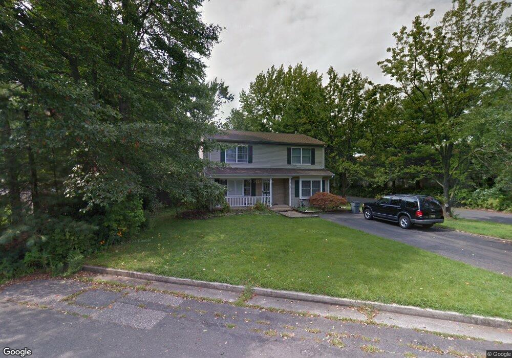
2 Fielding Ave North Middletown, NJ 07748
New Monmouth NeighborhoodEstimated Value: $597,000 - $615,198
4
Beds
2
Baths
1,850
Sq Ft
$330/Sq Ft
Est. Value
About This Home
This home is located at 2 Fielding Ave, North Middletown, NJ 07748 and is currently estimated at $610,300, approximately $329 per square foot. 2 Fielding Ave is a home located in Monmouth County with nearby schools including Harmony Elementary School, Thorne Middle School, and Middletown High School North.
Ownership History
Date
Name
Owned For
Owner Type
Purchase Details
Closed on
Jun 20, 2007
Sold by
Stalford Peggy E and Salerno Louis F
Bought by
Polanco Darwin and Polanco Delia
Current Estimated Value
Home Financials for this Owner
Home Financials are based on the most recent Mortgage that was taken out on this home.
Original Mortgage
$324,800
Outstanding Balance
$198,205
Interest Rate
6.14%
Mortgage Type
FHA
Estimated Equity
$412,095
Purchase Details
Closed on
May 15, 2000
Sold by
Volpe Peter
Bought by
Salerno Louis
Create a Home Valuation Report for This Property
The Home Valuation Report is an in-depth analysis detailing your home's value as well as a comparison with similar homes in the area
Home Values in the Area
Average Home Value in this Area
Purchase History
| Date | Buyer | Sale Price | Title Company |
|---|---|---|---|
| Polanco Darwin | $355,000 | Chicago Title Insurance Co | |
| Salerno Louis | $218,000 | -- |
Source: Public Records
Mortgage History
| Date | Status | Borrower | Loan Amount |
|---|---|---|---|
| Open | Polanco Darwin | $324,800 |
Source: Public Records
Tax History Compared to Growth
Tax History
| Year | Tax Paid | Tax Assessment Tax Assessment Total Assessment is a certain percentage of the fair market value that is determined by local assessors to be the total taxable value of land and additions on the property. | Land | Improvement |
|---|---|---|---|---|
| 2025 | $8,220 | $577,400 | $312,500 | $264,900 |
| 2024 | $7,960 | $499,700 | $239,700 | $260,000 |
| 2023 | $7,960 | $458,000 | $201,000 | $257,000 |
| 2022 | $7,359 | $429,400 | $184,700 | $244,700 |
| 2021 | $7,359 | $353,800 | $133,500 | $220,300 |
| 2020 | $7,492 | $350,400 | $135,100 | $215,300 |
| 2019 | $7,483 | $354,300 | $135,100 | $219,200 |
| 2018 | $7,457 | $344,100 | $135,100 | $209,000 |
| 2017 | $6,801 | $310,700 | $105,700 | $205,000 |
| 2016 | $6,542 | $307,000 | $120,700 | $186,300 |
| 2015 | $6,661 | $301,800 | $120,700 | $181,100 |
| 2014 | $6,522 | $288,200 | $120,700 | $167,500 |
Source: Public Records
Map
Nearby Homes
- 118 Jersey Ave
- 0 Oregon Ave
- 75 Ohio Ave
- 33 New Jersey 36
- 32 Dakota Ave
- 28 Duchess Ave
- 22 Carter Ave
- 35 Montana Ave
- 0 S End Ave Unit 22420779
- 795 Harmony Rd
- 0 Bray Ave Unit 22420777
- 1 Salisbury Ave
- 210 Ocean Ave
- 0 Clinton St Unit 22238196
- 34 York Ave
- 22 Mills Ave
- 22 Mercer Ave
- 280 Linden Ave
- 230 Main St
- 251 Main St Unit AH