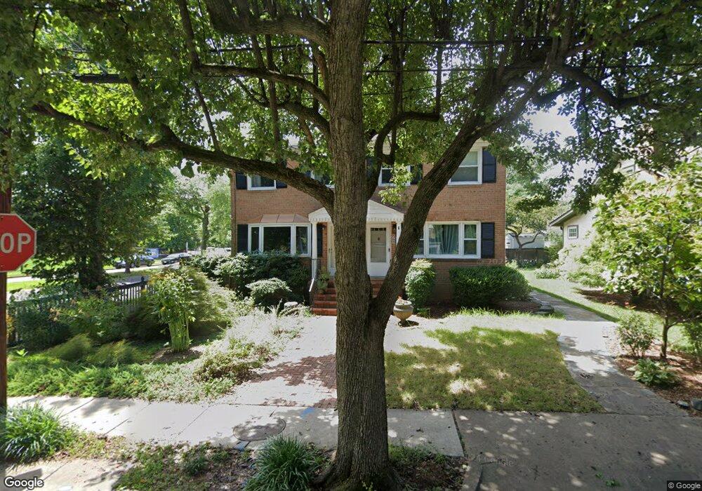
2 Forrest St Unit A Alexandria, VA 22305
Del Ray NeighborhoodEstimated Value: $729,163 - $819,000
--
Bed
2
Baths
1,152
Sq Ft
$665/Sq Ft
Est. Value
About This Home
This home is located at 2 Forrest St Unit A, Alexandria, VA 22305 and is currently estimated at $765,721, approximately $664 per square foot. 2 Forrest St Unit A is a home located in Alexandria City with nearby schools including Mount Vernon Community School, George Washington Middle School, and Alexandria City High School.
Ownership History
Date
Name
Owned For
Owner Type
Purchase Details
Closed on
Sep 7, 2001
Sold by
Allen Griffin D
Bought by
Vlaskamp Dorothy C
Current Estimated Value
Purchase Details
Closed on
May 29, 1998
Sold by
Hine R Curtis
Bought by
Oxenham Allen Griffin D and Oxenham Allen Sarah
Home Financials for this Owner
Home Financials are based on the most recent Mortgage that was taken out on this home.
Original Mortgage
$165,300
Interest Rate
7.12%
Mortgage Type
New Conventional
Create a Home Valuation Report for This Property
The Home Valuation Report is an in-depth analysis detailing your home's value as well as a comparison with similar homes in the area
Home Values in the Area
Average Home Value in this Area
Purchase History
| Date | Buyer | Sale Price | Title Company |
|---|---|---|---|
| Vlaskamp Dorothy C | $250,000 | -- | |
| Oxenham Allen Griffin D | $174,000 | -- |
Source: Public Records
Mortgage History
| Date | Status | Borrower | Loan Amount |
|---|---|---|---|
| Previous Owner | Oxenham Allen Griffin D | $165,300 |
Source: Public Records
Tax History Compared to Growth
Tax History
| Year | Tax Paid | Tax Assessment Tax Assessment Total Assessment is a certain percentage of the fair market value that is determined by local assessors to be the total taxable value of land and additions on the property. | Land | Improvement |
|---|---|---|---|---|
| 2025 | $8,701 | $713,625 | $495,068 | $218,557 |
| 2024 | $8,701 | $710,859 | $495,068 | $215,791 |
| 2023 | $7,891 | $710,859 | $495,068 | $215,791 |
| 2022 | $7,629 | $687,284 | $471,493 | $215,791 |
| 2021 | $7,153 | $644,421 | $428,630 | $215,791 |
| 2020 | $6,949 | $587,311 | $375,991 | $211,320 |
| 2019 | $6,322 | $559,460 | $348,140 | $211,320 |
| 2018 | $6,130 | $542,503 | $338,000 | $204,503 |
| 2017 | $5,925 | $524,324 | $325,000 | $199,324 |
| 2016 | $5,490 | $511,656 | $310,000 | $201,656 |
| 2015 | $5,309 | $509,051 | $307,395 | $201,656 |
| 2014 | $5,226 | $501,009 | $307,395 | $193,614 |
Source: Public Records
Map
Nearby Homes
- 2713 Mount Vernon Ave
- 3013 Manning St
- 1 E Custis Ave
- 2100 Mount Vernon Ave
- 12 Ashby St Unit F
- 12 Ashby St Unit D
- 317 Calvert Ave
- 2 Auburn Ct Unit B
- 326 Swann Ave
- 2608 Fall Line St
- 210 Aspen St
- 2605 Fall Line St
- 1908 Mount Vernon Ave
- Huntly Plan at Del Ray Corner At Oakville
- Bryce Plan at Del Ray Corner At Oakville
- Flynn Plan at Del Ray Corner At Oakville
- 18 Auburn Ct Unit A
- 13 Auburn Ct Unit D
- 403a Hume Ave Unit A
- 3306 Landover St