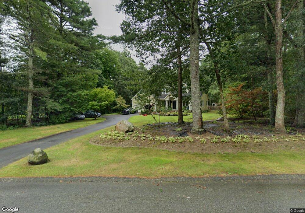
2 Forsythia Ln Westport, MA 02790
North Westport NeighborhoodEstimated Value: $832,007 - $983,000
4
Beds
3
Baths
3,259
Sq Ft
$282/Sq Ft
Est. Value
About This Home
This home is located at 2 Forsythia Ln, Westport, MA 02790 and is currently estimated at $917,752, approximately $281 per square foot. 2 Forsythia Ln is a home located in Bristol County with nearby schools including Alice A. Macomber Primary School, Westport Elementary School, and Westport Middle-High School.
Ownership History
Date
Name
Owned For
Owner Type
Purchase Details
Closed on
Jul 6, 2012
Sold by
Marcalo Herminio M and Marcalo Maria L
Bought by
Marcalo Herminio M
Current Estimated Value
Purchase Details
Closed on
Nov 30, 2001
Sold by
Mainguy Pierre and Morin-Mainguy Carole
Bought by
Marcalo Herminio M and Marcalo Maria L
Purchase Details
Closed on
Jun 30, 1999
Sold by
Boss David T and Montgomery Karyn M
Bought by
Mainguy Pierre and Morin-Mainguy Carole
Purchase Details
Closed on
Jan 30, 1991
Sold by
Carrigg John P
Bought by
Boss David T and Montgomery Karyn M
Create a Home Valuation Report for This Property
The Home Valuation Report is an in-depth analysis detailing your home's value as well as a comparison with similar homes in the area
Home Values in the Area
Average Home Value in this Area
Purchase History
| Date | Buyer | Sale Price | Title Company |
|---|---|---|---|
| Marcalo Herminio M | -- | -- | |
| Marcalo Herminio M | $409,000 | -- | |
| Mainguy Pierre | $345,000 | -- | |
| Boss David T | $300,000 | -- |
Source: Public Records
Mortgage History
| Date | Status | Borrower | Loan Amount |
|---|---|---|---|
| Previous Owner | Boss David T | $276,750 | |
| Previous Owner | Boss David T | $40,000 |
Source: Public Records
Tax History Compared to Growth
Tax History
| Year | Tax Paid | Tax Assessment Tax Assessment Total Assessment is a certain percentage of the fair market value that is determined by local assessors to be the total taxable value of land and additions on the property. | Land | Improvement |
|---|---|---|---|---|
| 2025 | $5,108 | $685,700 | $210,700 | $475,000 |
| 2024 | $5,105 | $660,400 | $195,300 | $465,100 |
| 2023 | $5,277 | $646,700 | $186,000 | $460,700 |
| 2022 | $4,896 | $577,400 | $186,000 | $391,400 |
| 2021 | $4,832 | $560,500 | $169,100 | $391,400 |
| 2020 | $4,669 | $553,800 | $162,400 | $391,400 |
| 2019 | $4,664 | $564,000 | $162,400 | $401,600 |
| 2018 | $2,569 | $502,600 | $179,000 | $323,600 |
| 2017 | $4,037 | $506,500 | $179,000 | $327,500 |
| 2016 | $3,907 | $493,900 | $179,000 | $314,900 |
| 2015 | $3,752 | $473,200 | $179,000 | $294,200 |
Source: Public Records
Map
Nearby Homes
- 10 Forsythia Ln
- 34 Forsythia Ln
- 40 Forsythia Ln
- 52 Forsythia Ln
- 40 Forsynthia
- 7 Forsythia Ln
- 58 Forsythia Ln
- 87 Center St
- 48 Forsythia Ln
- 18 Forsythia Ln
- 13 Forsythia Ln
- 76 Forsythia Ln
- 64 Forsythia Ln
- 39 Forsythia Ln
- 33 Forsythia Ln
- 41 Forsythia Ln
- 86 Center St
- 27 Forsythia Ln
- 43 Forsythia Ln
- 49 Forsythia Ln