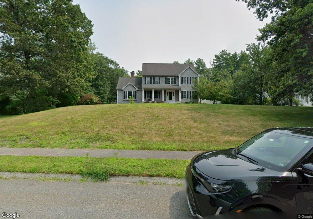
2 Foster Dr Norton, MA 02766
Estimated Value: $926,682 - $1,018,000
3
Beds
3
Baths
2,950
Sq Ft
$328/Sq Ft
Est. Value
About This Home
This home is located at 2 Foster Dr, Norton, MA 02766 and is currently estimated at $967,421, approximately $327 per square foot. 2 Foster Dr is a home located in Bristol County with nearby schools including J.C. Solmonese Elementary School, Henri A. Yelle Elementary School, and Norton Middle School.
Ownership History
Date
Name
Owned For
Owner Type
Purchase Details
Closed on
May 30, 2003
Sold by
Creative Edge Bldrs Co
Bought by
Donahue Brian K and Donahue Jacqueline A
Current Estimated Value
Home Financials for this Owner
Home Financials are based on the most recent Mortgage that was taken out on this home.
Original Mortgage
$390,000
Outstanding Balance
$168,894
Interest Rate
5.86%
Mortgage Type
Purchase Money Mortgage
Estimated Equity
$798,527
Create a Home Valuation Report for This Property
The Home Valuation Report is an in-depth analysis detailing your home's value as well as a comparison with similar homes in the area
Home Values in the Area
Average Home Value in this Area
Purchase History
| Date | Buyer | Sale Price | Title Company |
|---|---|---|---|
| Donahue Brian K | $504,466 | -- |
Source: Public Records
Mortgage History
| Date | Status | Borrower | Loan Amount |
|---|---|---|---|
| Open | Donahue Brian K | $390,000 |
Source: Public Records
Tax History Compared to Growth
Tax History
| Year | Tax Paid | Tax Assessment Tax Assessment Total Assessment is a certain percentage of the fair market value that is determined by local assessors to be the total taxable value of land and additions on the property. | Land | Improvement |
|---|---|---|---|---|
| 2025 | $11,449 | $882,700 | $229,800 | $652,900 |
| 2024 | $10,763 | $831,100 | $218,900 | $612,200 |
| 2023 | $10,295 | $792,500 | $206,400 | $586,100 |
| 2022 | $10,015 | $702,300 | $187,600 | $514,700 |
| 2021 | $9,582 | $641,800 | $178,700 | $463,100 |
| 2020 | $9,312 | $629,200 | $173,500 | $455,700 |
| 2019 | $9,110 | $611,400 | $166,900 | $444,500 |
| 2018 | $7,338 | $588,900 | $166,900 | $422,000 |
| 2017 | $8,272 | $538,200 | $180,800 | $357,400 |
| 2016 | $7,964 | $510,200 | $180,800 | $329,400 |
| 2015 | $7,698 | $500,200 | $174,900 | $325,300 |
| 2014 | $7,189 | $467,700 | $153,900 | $313,800 |
Source: Public Records
Map
Nearby Homes
- 14 Country Club Way
- 4 Village Way Unit F
- 9 Larson Farm Dr
- 16 Park Ln
- 19 Precourt Ln
- 37 Oakleaf Dr
- 53 Sturdy St
- 55 Sturdy St
- 157 Mansfield Ave Unit 14
- 2 Oak St Unit 2D
- 2 Oak St Unit 2A
- 2 Oak St Unit 2C
- 2 Oak St Unit 2B
- 108 S Worcester St
- 451R Gilbert St
- 250 Mansfield Ave Unit 66
- 93 Mansfield Ave
- 933 Pleasant St
- 180 Pike Ave
- 145 S Worcester St