Estimated Value: $484,731 - $543,000
3
Beds
3
Baths
1,680
Sq Ft
$304/Sq Ft
Est. Value
About This Home
This home is located at 2 Fox Path, Coram, NY 11727 and is currently estimated at $510,183, approximately $303 per square foot. 2 Fox Path is a home located in Suffolk County with nearby schools including Longwood Middle School, Longwood Junior High School, and Longwood Senior High School.
Ownership History
Date
Name
Owned For
Owner Type
Purchase Details
Closed on
May 23, 2019
Sold by
Schellace Frank N
Bought by
Hunt Glub At Coram Ho
Current Estimated Value
Purchase Details
Closed on
Nov 7, 2007
Sold by
Trustee Neuf William
Bought by
Horne Alvin O
Purchase Details
Closed on
Mar 29, 2000
Sold by
Neuf William and Pond Camille
Bought by
Neuf William and Pond Camille
Purchase Details
Closed on
Oct 15, 1999
Sold by
Mirabile Madeline and Steutterman Joseph
Bought by
Neuf William and Pond Camille
Home Financials for this Owner
Home Financials are based on the most recent Mortgage that was taken out on this home.
Original Mortgage
$100,000
Interest Rate
7.73%
Mortgage Type
Purchase Money Mortgage
Create a Home Valuation Report for This Property
The Home Valuation Report is an in-depth analysis detailing your home's value as well as a comparison with similar homes in the area
Home Values in the Area
Average Home Value in this Area
Purchase History
| Date | Buyer | Sale Price | Title Company |
|---|---|---|---|
| Hunt Glub At Coram Ho | $35,000 | -- | |
| Horne Alvin O | $299,000 | Cathleen Benedetto | |
| Neuf William | -- | Stewart Title | |
| Neuf William | $155,000 | -- |
Source: Public Records
Mortgage History
| Date | Status | Borrower | Loan Amount |
|---|---|---|---|
| Previous Owner | Neuf William | $100,000 |
Source: Public Records
Tax History
| Year | Tax Paid | Tax Assessment Tax Assessment Total Assessment is a certain percentage of the fair market value that is determined by local assessors to be the total taxable value of land and additions on the property. | Land | Improvement |
|---|---|---|---|---|
| 2024 | $9,704 | $2,200 | $200 | $2,000 |
| 2023 | $9,704 | $2,200 | $200 | $2,000 |
| 2022 | $8,007 | $2,200 | $200 | $2,000 |
| 2021 | $8,007 | $2,200 | $200 | $2,000 |
| 2020 | $8,247 | $2,200 | $200 | $2,000 |
| 2019 | $8,247 | $0 | $0 | $0 |
| 2018 | $6,600 | $2,200 | $200 | $2,000 |
| 2017 | $6,600 | $2,200 | $200 | $2,000 |
| 2016 | $6,227 | $2,200 | $200 | $2,000 |
| 2015 | -- | $2,200 | $200 | $2,000 |
| 2014 | -- | $2,200 | $200 | $2,000 |
Source: Public Records
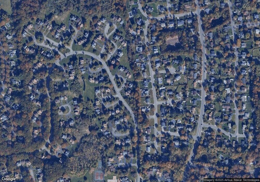
Map
Nearby Homes
- 14 Chipmunk Trail
- 17 Coram Swezeytown Rd
- 5 Deer Path
- 7 Carnaby Ave
- 65 Federal Ln
- 6 Petersburg Ct
- 12 Northridge Dr
- 2 Franklin St
- 26 Grand Canyon Ln
- 107 Sequoia Dr
- 5 Fredricksburg Ct
- 12 Yellowstone Ct
- 10 Shiloh Ct
- 36 American Ave
- 25 Hawthorne St
- 49 Pointe Cir S
- 138 Pointe Cir N
- 35 Gibbs Rd Unit 22
- 53 Pointe Cir S
- 79 Pointe Cir S Unit 79
Your Personal Tour Guide
Ask me questions while you tour the home.