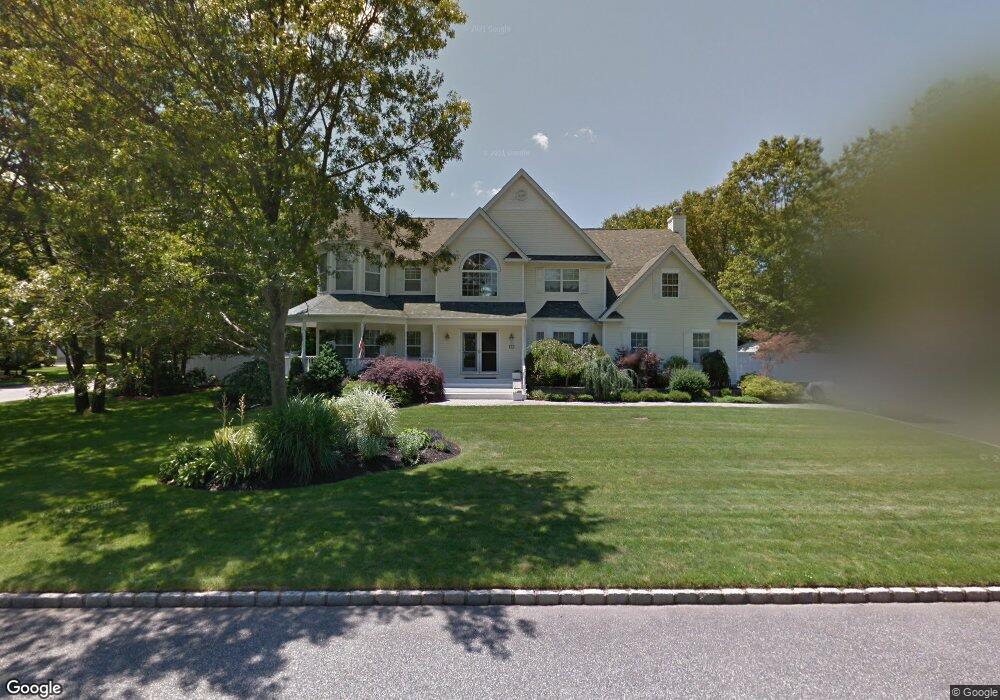
2 Galloway Ct East Setauket, NY 11733
Estimated Value: $1,022,571 - $1,323,000
5
Beds
3
Baths
3,681
Sq Ft
$326/Sq Ft
Est. Value
About This Home
This home is located at 2 Galloway Ct, East Setauket, NY 11733 and is currently estimated at $1,201,643, approximately $326 per square foot. 2 Galloway Ct is a home located in Suffolk County with nearby schools including Nassakeag Elementary School, Robert Cushman Murphy Junior High School, and Paul J Gelinas Junior High School.
Ownership History
Date
Name
Owned For
Owner Type
Purchase Details
Closed on
Mar 14, 2019
Sold by
Maurer Robert T and Maurer Gina A
Bought by
Maleson Andrew and Whitney Jennifer
Current Estimated Value
Home Financials for this Owner
Home Financials are based on the most recent Mortgage that was taken out on this home.
Original Mortgage
$674,991
Outstanding Balance
$587,125
Interest Rate
4.3%
Mortgage Type
New Conventional
Estimated Equity
$614,518
Purchase Details
Closed on
Sep 13, 1999
Sold by
S B Park Associates Llc
Bought by
Maurer Robert T and Maurer Gina A
Create a Home Valuation Report for This Property
The Home Valuation Report is an in-depth analysis detailing your home's value as well as a comparison with similar homes in the area
Home Values in the Area
Average Home Value in this Area
Purchase History
| Date | Buyer | Sale Price | Title Company |
|---|---|---|---|
| Maleson Andrew | -- | -- | |
| Maurer Robert T | $404,500 | -- |
Source: Public Records
Mortgage History
| Date | Status | Borrower | Loan Amount |
|---|---|---|---|
| Open | Maleson Andrew | $674,991 |
Source: Public Records
Tax History Compared to Growth
Tax History
| Year | Tax Paid | Tax Assessment Tax Assessment Total Assessment is a certain percentage of the fair market value that is determined by local assessors to be the total taxable value of land and additions on the property. | Land | Improvement |
|---|---|---|---|---|
| 2024 | $24,537 | $5,245 | $400 | $4,845 |
| 2023 | $21,929 | $5,880 | $400 | $5,480 |
| 2022 | $21,231 | $5,880 | $400 | $5,480 |
| 2021 | $21,231 | $5,880 | $400 | $5,480 |
| 2020 | $23,101 | $5,880 | $400 | $5,480 |
| 2019 | $23,101 | $0 | $0 | $0 |
| 2018 | $20,614 | $5,880 | $400 | $5,480 |
| 2017 | $20,614 | $5,830 | $400 | $5,430 |
| 2016 | $20,317 | $5,830 | $400 | $5,430 |
| 2015 | -- | $5,830 | $400 | $5,430 |
| 2014 | -- | $5,830 | $400 | $5,430 |
Source: Public Records
Map
Nearby Homes
- 5 Stratton Ct
- 15 Shadetree Ln
- 350 Mark Tree Rd
- 66 Barker Dr
- 30 Sunflower Ridge Rd
- 102 Sycamore Cir
- 33 Sunflower Ridge Rd
- 23 Province Dr
- 8 Balfour Ln
- 7 Birdseye Cir
- 75 Province Dr
- 16 Barnwell Ln
- 76 Knolls Dr
- 128 Knolls Dr
- 155 Knolls Dr Unit 155
- 4 Blackwell Ln
- 16 Sheppard Ln
- 59 Arbor Field Way
- 16 Seabrook Ln
- 412 No Tree Rd
- 4 Galloway Ct
- 11 Sturrock Way
- 12 Sturrock Way
- 10 Sturrock Way
- 1 Galloway Ct
- 14 Sturrock Way
- 3 Galloway Ct
- 6 Silverspruce Ln
- 4 Stratton Ln
- 8 Sturrock Way
- 6 Stratton Ln
- 15 Sturrock Way
- 1 Applecross Ln E
- 7 Silverspruce Ln
- 5 Turnberry St
- 8 Stratton Ln
- 3 Turnberry St
- 9 Turnberry St
- 6 Sturrock Way
- 3 Applecross Ln E