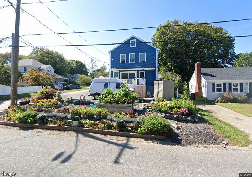
2 Garden Rd Scituate, MA 02066
Scituate AreaEstimated Value: $910,000 - $1,012,000
About This Home
This home is located at 2 Garden Rd, Scituate, MA 02066 and is currently estimated at $977,273, approximately $496 per square foot. 2 Garden Rd is a home located in Plymouth County with nearby schools including Wampatuck Elementary School, Lester J. Gates Middle School, and Scituate High School.
Ownership History
We collect this data history from publicly available records. To have your information removed, we recommend requesting removal directly through your county’s website.
Purchase Details
Purchase Details
Home Values in the Area
Average Home Value in this Area
Purchase History
We collect this data history from publicly available records. To have your information removed, we recommend requesting removal directly through your county’s website.
| Date | Buyer | Sale Price | Title Company |
|---|---|---|---|
| -- | -- | ||
| $150,000 | -- | ||
| -- | -- |
Tax History
We collect this data history from publicly available records. To have your information removed, we recommend requesting removal directly through your county’s website.
| Year | Tax Paid | Tax Assessment Tax Assessment Total Assessment is a certain percentage of the fair market value that is determined by local assessors to be the total taxable value of land and additions on the property. | Land | Improvement |
|---|---|---|---|---|
| 2025 | $7,869 | $787,700 | $384,400 | $403,300 |
| 2024 | $7,767 | $749,700 | $349,500 | $400,200 |
| 2023 | $7,293 | $693,200 | $317,700 | $375,500 |
| 2022 | $7,293 | $577,900 | $259,400 | $318,500 |
| 2021 | $6,918 | $519,000 | $234,700 | $284,300 |
| 2020 | $6,745 | $499,600 | $225,600 | $274,000 |
| 2019 | $6,631 | $482,600 | $221,200 | $261,400 |
| 2018 | $6,711 | $481,100 | $239,000 | $242,100 |
| 2017 | $6,501 | $461,400 | $229,000 | $232,400 |
| 2016 | $6,243 | $441,500 | $209,100 | $232,400 |
| 2015 | $5,654 | $431,600 | $199,200 | $232,400 |
Map
- 20 Garden Rd
- 13 Borden Rd
- 51 Edgar Rd
- 13 6th Ave
- 20 6th Ave
- 5 Brand Blvd Unit 5
- 57 Oceanside Dr
- 33 Oceanside Dr
- 12 Cairnslea Ln
- 18 Oceanside Dr
- 1A Oceanside Dr
- 430 Hatherly Rd
- 430 Hatherly Rd
- 430 Hatherly Rd
- 43 Jackson Rd
- 81 Surfside Rd
- 74 Branch St Unit 15
- 5 Otis Rd
- 76 Surfside Rd
- 11 Carriage House Way
- 19 Marshall Ave
- 17 Marshall Ave
- 23 Marshall Ave
- 243 Hatherly Rd
- 243 Hatherly Rd Unit 1
- 237 Hatherly Rd
- 20 Marshall Ave Unit 20A
- 20 Marshall Ave
- 20 Marshall Ave Unit A
- 2 Winslow Ave
- 2 Winslow Ave Unit 1
- 235 Hatherly Rd
- 13 Marshall Ave
- 25 Marshall Ave
- 2 Bradford Ave
- 245 Hatherly Rd
- 6 Fay Rd
- 4 Winslow Ave
- 4 Bradford Ave
- 3 Bradford Ave
Ask me questions while you tour the home.