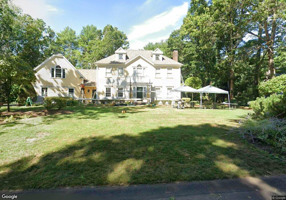
2 Gateway Ln Norton, MA 02766
Estimated Value: $944,065 - $1,069,000
4
Beds
3
Baths
3,821
Sq Ft
$267/Sq Ft
Est. Value
About This Home
This home is located at 2 Gateway Ln, Norton, MA 02766 and is currently estimated at $1,022,022, approximately $267 per square foot. 2 Gateway Ln is a home located in Bristol County with nearby schools including J.C. Solmonese Elementary School, Henri A. Yelle Elementary School, and Norton Middle School.
Ownership History
Date
Name
Owned For
Owner Type
Purchase Details
Closed on
Dec 8, 1994
Sold by
Sher Corp Limited
Bought by
Cushner Stuart C and Cushner Sharon M
Current Estimated Value
Home Financials for this Owner
Home Financials are based on the most recent Mortgage that was taken out on this home.
Original Mortgage
$317,500
Interest Rate
9%
Mortgage Type
Purchase Money Mortgage
Create a Home Valuation Report for This Property
The Home Valuation Report is an in-depth analysis detailing your home's value as well as a comparison with similar homes in the area
Home Values in the Area
Average Home Value in this Area
Purchase History
| Date | Buyer | Sale Price | Title Company |
|---|---|---|---|
| Cushner Stuart C | $417,500 | -- |
Source: Public Records
Mortgage History
| Date | Status | Borrower | Loan Amount |
|---|---|---|---|
| Open | Cushner Stuart C | $215,000 | |
| Closed | Cushner Stuart C | $266,000 | |
| Closed | Cushner Stuart C | $317,500 |
Source: Public Records
Tax History Compared to Growth
Tax History
| Year | Tax Paid | Tax Assessment Tax Assessment Total Assessment is a certain percentage of the fair market value that is determined by local assessors to be the total taxable value of land and additions on the property. | Land | Improvement |
|---|---|---|---|---|
| 2025 | $123 | $952,000 | $225,600 | $726,400 |
| 2024 | $11,740 | $906,600 | $214,800 | $691,800 |
| 2023 | $11,227 | $864,300 | $202,600 | $661,700 |
| 2022 | $10,781 | $756,000 | $184,200 | $571,800 |
| 2021 | $10,454 | $700,200 | $175,400 | $524,800 |
| 2020 | $10,165 | $686,800 | $170,300 | $516,500 |
| 2019 | $9,844 | $660,700 | $163,800 | $496,900 |
| 2018 | $9,625 | $634,900 | $163,800 | $471,100 |
| 2017 | $9,619 | $625,800 | $163,800 | $462,000 |
| 2016 | $9,122 | $584,400 | $163,800 | $420,600 |
| 2015 | $8,789 | $571,100 | $160,600 | $410,500 |
| 2014 | $8,246 | $536,500 | $140,200 | $396,300 |
Source: Public Records
Map
Nearby Homes
- 196 Taunton Ave Unit B
- 198 Taunton Ave Unit B
- 198 Taunton Ave Unit A
- 152 Pine St Unit 23
- 127 Taunton Ave
- 4 John Scott Blvd
- 5 John Scott Blvd
- 90 Mello Dr
- 25 Wintergreen Ln
- Lot 8 Joel Harvey Way
- 90 Pine St
- 80 Short St
- 3 Jeffrey Ln
- 20 Lloyd Cir Unit 32
- 14 Lloyd Cir Unit 29
- 1 Lloyd Cir
- 3 Lloyd Cir Unit 43
- 15 Lloyd Cir Unit 37
- 18 Lloyd Cir Unit 31
- 9 Lloyd Cir Unit 40
- 58 Gateway Ln
- 4 Gateway Ln
- 3 Gateway Ln
- 222 Taunton Ave
- 1 Gateway Ln
- 5 Gateway Ln
- 226 Taunton Ave
- 218 Taunton Ave
- 227 Taunton Ave
- 221 Taunton Ave
- 228 Taunton Ave
- 214 Taunton Ave
- 217 Taunton Ave
- 213 Old Taunton Ave
- 213 Taunton Ave
- 232 Taunton Ave
- 229 Taunton Ave
- 30 New Taunton Ave
- 34 New Taunton Ave
- 234 Taunton Ave