2 Gooseberry Farms Ln Westport, MA 02790
South Westport NeighborhoodEstimated Value: $925,000 - $1,169,000
3
Beds
3
Baths
2,238
Sq Ft
$463/Sq Ft
Est. Value
About This Home
This home is located at 2 Gooseberry Farms Ln, Westport, MA 02790 and is currently estimated at $1,036,789, approximately $463 per square foot. 2 Gooseberry Farms Ln is a home located in Bristol County with nearby schools including Alice A. Macomber Primary School, Westport Elementary School, and Westport Middle-High School.
Ownership History
Date
Name
Owned For
Owner Type
Purchase Details
Closed on
Aug 20, 2024
Sold by
Bizzi Emilo
Bought by
Bizzi Emilio and Holden Maureen K
Current Estimated Value
Purchase Details
Closed on
Jun 17, 2011
Sold by
Brown Susan
Bought by
Bizzi Emilio
Purchase Details
Closed on
Jan 26, 2011
Sold by
Brown Douglas H
Bought by
Brown Susan
Create a Home Valuation Report for This Property
The Home Valuation Report is an in-depth analysis detailing your home's value as well as a comparison with similar homes in the area
Home Values in the Area
Average Home Value in this Area
Purchase History
| Date | Buyer | Sale Price | Title Company |
|---|---|---|---|
| Bizzi Emilio | -- | None Available | |
| Bizzi Emilio | -- | None Available | |
| Bizzi Emilio | $500,000 | -- | |
| Brown Susan | -- | -- | |
| Bizzi Emilio | $500,000 | -- | |
| Brown Susan | -- | -- |
Source: Public Records
Mortgage History
| Date | Status | Borrower | Loan Amount |
|---|---|---|---|
| Previous Owner | Brown Susan | $335,000 | |
| Previous Owner | Brown Susan | $300,700 |
Source: Public Records
Tax History Compared to Growth
Tax History
| Year | Tax Paid | Tax Assessment Tax Assessment Total Assessment is a certain percentage of the fair market value that is determined by local assessors to be the total taxable value of land and additions on the property. | Land | Improvement |
|---|---|---|---|---|
| 2025 | $6,100 | $818,800 | $320,200 | $498,600 |
| 2024 | $6,005 | $776,800 | $297,800 | $479,000 |
| 2023 | $5,957 | $730,000 | $291,700 | $438,300 |
| 2022 | $5,647 | $665,900 | $291,700 | $374,200 |
| 2021 | $5,352 | $620,900 | $246,700 | $374,200 |
| 2020 | $3,779 | $611,700 | $237,500 | $374,200 |
| 2019 | $5,007 | $605,500 | $237,500 | $368,000 |
| 2018 | $2,657 | $573,500 | $237,400 | $336,100 |
| 2017 | $13,627 | $595,800 | $256,100 | $339,700 |
| 2016 | $4,881 | $617,100 | $277,400 | $339,700 |
| 2015 | $3,567 | $449,800 | $187,400 | $262,400 |
Source: Public Records
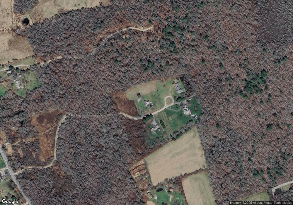
Map
Nearby Homes
- 99 Sylvia Ln
- Lot 2 Horseneck Rd
- Lot 2E Horseneck Rd
- 2 Slades Farm Ln
- 1702 Drift Rd
- 1702J Drift Rd
- 1881 Main Rd
- 225 Hixbridge Rd
- 1580 Main Rd
- 1749 Main Rd
- 920 Drift Rd
- 1150 Russells Mills Rd
- 0 Reed Rd (Ss)
- 1346 Main Rd Unit B
- 73 White Oak Run
- 61 Pardon Hill Rd
- Lot 1 Rafael Rd
- 238-242 E Beach Rd
- 837 Main Rd
- 101 Adamsville Rd
- 5 Gooseberry Farms Ln
- 3 Gooseberry Farms Ln
- 4 Gooseberry Farms Ln
- 486 Horseneck Rd
- 442 Horseneck Road U: Weekly
- 645 Division Rd
- 523 Horseneck Rd
- 706 Horseneck Rd
- 757 Division Rd
- 579 Horseneck Rd
- 583 Horseneck Rd
- 587 Horseneck Rd
- 1 Yankee Way
- 591 Horseneck Rd
- 49 Pettey Ln
- 49 Pettey Ln Unit WINTER RENT
- 663 Division Rd
- 625 Division Rd
- 441 Horseneck Rd
- 607 Division Rd