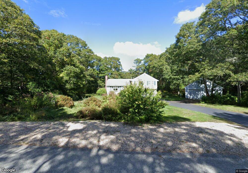
2 Great Rock Rd Buzzards Bay, MA 02532
Monument Beach NeighborhoodEstimated Value: $485,000 - $625,000
3
Beds
2
Baths
1,248
Sq Ft
$445/Sq Ft
Est. Value
About This Home
This home is located at 2 Great Rock Rd, Buzzards Bay, MA 02532 and is currently estimated at $555,480, approximately $445 per square foot. 2 Great Rock Rd is a home located in Barnstable County with nearby schools including Bourne High School, St Margaret Regional School, and Cadence Academy Preschool - Bourne.
Ownership History
Date
Name
Owned For
Owner Type
Purchase Details
Closed on
Aug 20, 1993
Sold by
Mousette T Arthur and Mousette Kenneth A
Bought by
Mousette Sheila P
Current Estimated Value
Home Financials for this Owner
Home Financials are based on the most recent Mortgage that was taken out on this home.
Original Mortgage
$60,000
Interest Rate
7.11%
Mortgage Type
Purchase Money Mortgage
Create a Home Valuation Report for This Property
The Home Valuation Report is an in-depth analysis detailing your home's value as well as a comparison with similar homes in the area
Home Values in the Area
Average Home Value in this Area
Purchase History
| Date | Buyer | Sale Price | Title Company |
|---|---|---|---|
| Mousette Sheila P | $64,000 | -- | |
| Mousette Sheila P | $100,000 | -- | |
| Eldan Constr Co Inc | $90,000 | -- | |
| Mousette Sheila P | $64,000 | -- |
Source: Public Records
Mortgage History
| Date | Status | Borrower | Loan Amount |
|---|---|---|---|
| Closed | Mousette Sheila P | $60,000 | |
| Closed | Mousette Sheila P | $0 |
Source: Public Records
Tax History Compared to Growth
Tax History
| Year | Tax Paid | Tax Assessment Tax Assessment Total Assessment is a certain percentage of the fair market value that is determined by local assessors to be the total taxable value of land and additions on the property. | Land | Improvement |
|---|---|---|---|---|
| 2025 | $3,772 | $483,000 | $204,600 | $278,400 |
| 2024 | $3,689 | $460,000 | $194,900 | $265,100 |
| 2023 | $3,765 | $427,400 | $191,600 | $235,800 |
| 2022 | $3,769 | $373,500 | $169,600 | $203,900 |
| 2021 | $3,674 | $341,100 | $154,300 | $186,800 |
| 2020 | $3,523 | $328,000 | $152,900 | $175,100 |
| 2019 | $3,373 | $320,900 | $152,900 | $168,000 |
| 2018 | $3,247 | $308,100 | $145,600 | $162,500 |
| 2017 | $3,031 | $294,300 | $137,000 | $157,300 |
| 2016 | $2,956 | $290,900 | $137,000 | $153,900 |
| 2015 | $2,784 | $276,500 | $122,600 | $153,900 |
Source: Public Records
Map
Nearby Homes
- 85 Waterhouse Rd
- 85 Waterhouse Rd
- 14 Great Rock Rd
- 405 Village Dr
- 405 Village Dr Unit 405
- 5 Sea Knoll Ct
- 1 Hollyhock Knoll Ct Unit 1
- 26 Carnoustie Rd
- 4 Hollyhock Knoll Ct Unit 4
- 4 Hollyhock Knoll Ct Unit 4
- 13 Laurel Hill Ct
- 12 Turnberry Rd Unit 12
- 44 Cotuit Rd
- 34 Turnberry Rd
- 60 Sandwich Rd
- 90-92 Sandwich Rd Unit 2
- 16 Amberwood Ct
- 203 County Rd
- 12 Beachwood Rd
- 18 Quaker Ln
- 88 Waterhouse Rd
- 90 Waterhouse Rd Unit 90
- 90 Waterhouse Rd Unit 2
- 90 Waterhouse Rd
- 90-90B Waterhouse Rd
- 88 Waterhouse Rd
- 4 Great Rock Rd
- 32 Heritage Dr
- 30 Heritage Dr
- 30 Heritage Dr
- 28 Heritage Dr
- 0 Waterhouse Rd
- 34 Heritage Dr
- 36 Heritage Dr
- 32 Heritage Dr
- 26 Heritage Dr
- 28 Heritage Dr
- 26 Heritage Dr
- 28 Heritage Dr Unit 6B
- 36 Heritage Dr