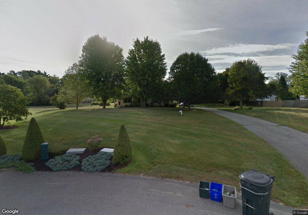
2 Green Ln Rehoboth, MA 02769
Estimated Value: $716,000 - $884,000
3
Beds
3
Baths
2,467
Sq Ft
$316/Sq Ft
Est. Value
About This Home
This home is located at 2 Green Ln, Rehoboth, MA 02769 and is currently estimated at $780,386, approximately $316 per square foot. 2 Green Ln is a home located in Bristol County with nearby schools including Dighton-Rehoboth Regional High School and East Bay Career Academy.
Ownership History
Date
Name
Owned For
Owner Type
Purchase Details
Closed on
May 2, 2024
Sold by
Grieshaber Patricia A
Bought by
Patricia A Grieshaber Ret and Grieshaber
Current Estimated Value
Purchase Details
Closed on
Jun 22, 1998
Sold by
R & L Rt and Riva Raymond
Bought by
Grieshaber Thomas J and Grieshaber Patricia A
Home Financials for this Owner
Home Financials are based on the most recent Mortgage that was taken out on this home.
Original Mortgage
$155,000
Interest Rate
7.09%
Mortgage Type
Purchase Money Mortgage
Purchase Details
Closed on
Apr 18, 1996
Sold by
Souza Stephen J
Bought by
R&L Rt and Riva Raymond
Home Financials for this Owner
Home Financials are based on the most recent Mortgage that was taken out on this home.
Original Mortgage
$102,000
Interest Rate
7.34%
Mortgage Type
Purchase Money Mortgage
Create a Home Valuation Report for This Property
The Home Valuation Report is an in-depth analysis detailing your home's value as well as a comparison with similar homes in the area
Home Values in the Area
Average Home Value in this Area
Purchase History
| Date | Buyer | Sale Price | Title Company |
|---|---|---|---|
| Patricia A Grieshaber Ret | -- | None Available | |
| Patricia A Grieshaber Ret | -- | None Available | |
| Grieshaber Thomas J | $72,000 | -- | |
| Grieshaber Thomas J | $72,000 | -- | |
| R&L Rt | $123,000 | -- |
Source: Public Records
Mortgage History
| Date | Status | Borrower | Loan Amount |
|---|---|---|---|
| Previous Owner | R&L Rt | $10,000 | |
| Previous Owner | R&L Rt | $155,000 | |
| Previous Owner | R&L Rt | $102,000 |
Source: Public Records
Tax History
| Year | Tax Paid | Tax Assessment Tax Assessment Total Assessment is a certain percentage of the fair market value that is determined by local assessors to be the total taxable value of land and additions on the property. | Land | Improvement |
|---|---|---|---|---|
| 2025 | $70 | $629,600 | $198,700 | $430,900 |
| 2024 | $6,977 | $614,200 | $207,400 | $406,800 |
| 2023 | $6,156 | $559,400 | $203,000 | $356,400 |
| 2022 | $6,156 | $485,900 | $186,100 | $299,800 |
| 2021 | $5,966 | $450,600 | $169,500 | $281,100 |
| 2020 | $5,954 | $453,800 | $172,700 | $281,100 |
| 2018 | $5,149 | $430,200 | $169,000 | $261,200 |
| 2017 | $5,086 | $404,900 | $176,600 | $228,300 |
| 2016 | $5,013 | $412,600 | $184,300 | $228,300 |
| 2015 | $4,731 | $384,300 | $175,700 | $208,600 |
| 2014 | $4,672 | $375,600 | $167,000 | $208,600 |
Source: Public Records
Map
Nearby Homes
- 203 Providence St Bldr Lot 5
- 205 Providence St Bldr Lot 3
- 127 Mason St
- 0 Wheaton Ave
- 17 Sassafras Rd
- 25 Columbine Rd
- 134 Mason St
- 0 Winter St
- 1 Cedarbrook Unit 1 A
- 42 Linden Ln
- 129 Cameron Way
- 3a Johnnies Way
- 3b Johnnies Way
- 3 Johnnies Way
- 75 Martin St
- 67 Wheeler St
- 67 Martin St
- 8 Linden Ln
- 8 Linden Ln
- 0 N Wheaton Ave
Your Personal Tour Guide
Ask me questions while you tour the home.