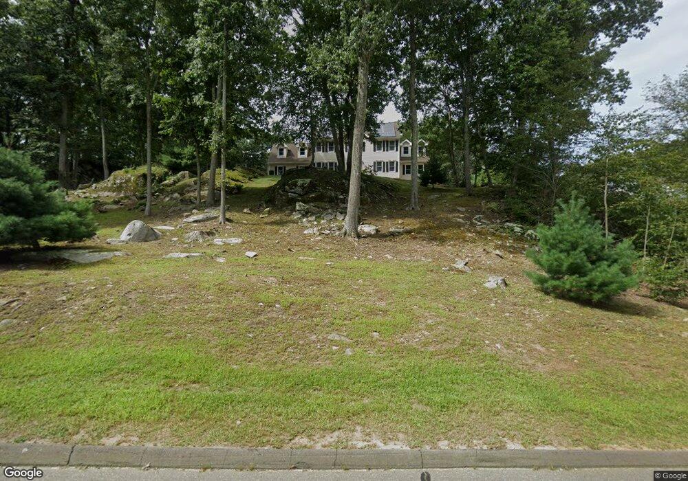
2 Halls Rd Westbrook, CT 06498
Estimated Value: $798,609 - $981,000
--
Bed
3
Baths
3,456
Sq Ft
$265/Sq Ft
Est. Value
About This Home
This home is located at 2 Halls Rd, Westbrook, CT 06498 and is currently estimated at $914,402, approximately $264 per square foot. 2 Halls Rd is a home located in Middlesex County with nearby schools including Daisy Ingraham School, Westbrook Middle School, and Westbrook High School.
Ownership History
Date
Name
Owned For
Owner Type
Purchase Details
Closed on
Nov 10, 2003
Sold by
Colonis Harry W
Bought by
Amenda Richard and Amenda Nancy
Current Estimated Value
Home Financials for this Owner
Home Financials are based on the most recent Mortgage that was taken out on this home.
Original Mortgage
$370,000
Interest Rate
6.01%
Mortgage Type
Purchase Money Mortgage
Create a Home Valuation Report for This Property
The Home Valuation Report is an in-depth analysis detailing your home's value as well as a comparison with similar homes in the area
Home Values in the Area
Average Home Value in this Area
Purchase History
| Date | Buyer | Sale Price | Title Company |
|---|---|---|---|
| Amenda Richard | $520,000 | -- |
Source: Public Records
Mortgage History
| Date | Status | Borrower | Loan Amount |
|---|---|---|---|
| Open | Amenda Richard | $417,000 | |
| Closed | Amenda Richard | $417,000 | |
| Closed | Amenda Richard | $450,000 | |
| Closed | Amenda Richard | $370,000 |
Source: Public Records
Tax History Compared to Growth
Tax History
| Year | Tax Paid | Tax Assessment Tax Assessment Total Assessment is a certain percentage of the fair market value that is determined by local assessors to be the total taxable value of land and additions on the property. | Land | Improvement |
|---|---|---|---|---|
| 2025 | $9,561 | $424,940 | $84,260 | $340,680 |
| 2024 | $9,221 | $424,940 | $84,260 | $340,680 |
| 2023 | $9,060 | $424,940 | $84,260 | $340,680 |
| 2022 | $8,822 | $424,940 | $84,260 | $340,680 |
| 2021 | $9,005 | $360,180 | $83,420 | $276,760 |
| 2020 | $9,005 | $360,180 | $83,420 | $276,760 |
| 2019 | $8,886 | $360,180 | $83,420 | $276,760 |
| 2018 | $8,778 | $360,180 | $83,420 | $276,760 |
| 2017 | $8,778 | $360,180 | $83,420 | $276,760 |
| 2016 | $9,226 | $398,720 | $92,190 | $306,530 |
| 2015 | $8,830 | $392,250 | $92,190 | $300,060 |
| 2014 | $8,547 | $392,250 | $92,190 | $300,060 |
Source: Public Records
Map
Nearby Homes
- 14 Halls Rd
- 199 Toby Hill Rd
- 87 McVeagh Rd
- 11 Pond Circle Rd
- 54 Lakeview Terrace
- 2 Lake Louise Dr
- 5 Fox Hollow Rd
- 1 Lake Louise Dr
- 11 Timberlane Dr
- 79 Pine Lake Rd
- 11 Orchard Path Unit 11
- 1110 Old Clinton Rd
- 951 Old Clinton Rd Unit 17
- 157 Pine Lake Rd
- 41 S Main St
- 755 W Pond Meadow Rd
- 155 Fawn Hill Dr
- 1280 Boston Post Rd
- 1286 Boston Post Rd
- 41 Trolley Rd
- 4 Halls Rd
- 400 Fairview Rd
- 372 Fairview Rd
- 1 Halls Rd
- 216 Fishing Brook Rd
- 1 Whittemore Place
- 334 Fairview Rd
- 222 Fishing Brook Rd
- 393 Fairview Rd
- 210 Fishing Brook Rd
- 2 Whittemore Place
- 361 Fairview Rd
- 389 Fairview Rd
- 312 Fairview Rd
- 19 Overlook Dr
- 223 Fishing Brook Rd
- 223 Fishing Brook Rd Unit B
- 227 Fishing Brook Rd
- 3 Whittemore Place
- 170 Fishing Brook Rd