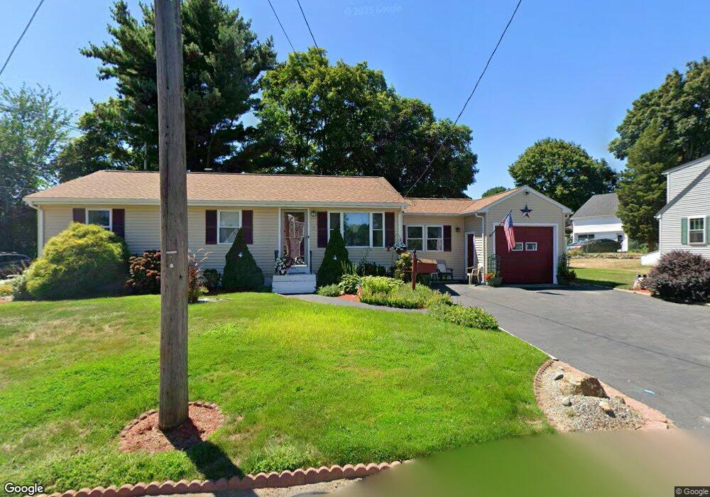
2 Hart Ave Taunton, MA 02780
Weir Village NeighborhoodEstimated Value: $552,000 - $655,000
3
Beds
2
Baths
1,520
Sq Ft
$396/Sq Ft
Est. Value
About This Home
This home is located at 2 Hart Ave, Taunton, MA 02780 and is currently estimated at $601,225, approximately $395 per square foot. 2 Hart Ave is a home located in Bristol County with nearby schools including East Taunton Elementary School, Taunton High School, and Joseph H. Martin.
Create a Home Valuation Report for This Property
The Home Valuation Report is an in-depth analysis detailing your home's value as well as a comparison with similar homes in the area
Home Values in the Area
Average Home Value in this Area
Tax History
| Year | Tax Paid | Tax Assessment Tax Assessment Total Assessment is a certain percentage of the fair market value that is determined by local assessors to be the total taxable value of land and additions on the property. | Land | Improvement |
|---|---|---|---|---|
| 2025 | $5,990 | $547,500 | $125,700 | $421,800 |
| 2024 | $5,359 | $478,900 | $125,700 | $353,200 |
| 2023 | $5,042 | $418,400 | $125,700 | $292,700 |
| 2022 | $4,560 | $346,000 | $104,700 | $241,300 |
| 2021 | $4,439 | $312,600 | $95,200 | $217,400 |
| 2020 | $4,347 | $292,500 | $95,200 | $197,300 |
| 2019 | $4,001 | $253,900 | $95,200 | $158,700 |
| 2018 | $3,864 | $245,800 | $96,200 | $149,600 |
| 2017 | $3,580 | $227,900 | $91,200 | $136,700 |
| 2016 | $3,445 | $219,700 | $88,500 | $131,200 |
| 2015 | $3,098 | $206,400 | $88,300 | $118,100 |
| 2014 | $3,030 | $207,400 | $88,300 | $119,100 |
Source: Public Records
Map
Nearby Homes
- 9 Akron Ln
- 12 Beacon St
- 6 Southeast St
- 90 E Water St
- 212 Carriage Ln Unit 212
- 1316 Carriage Ln Unit 1316
- 59 Linden St Unit 307
- 4 Staples Ave
- 450 Somerset Ave Unit 3-7
- 24 1st St
- 36 Linden St
- 252 Somerset Ave
- 28 Linden St
- 21 Briggs St
- 29 Johnson St Unit C
- 29 Johnson St Unit A
- 29 Johnson St Unit B
- 25 Johnson St Unit B
- 25 Johnson St Unit A
- 25 Johnson St Unit C
Your Personal Tour Guide
Ask me questions while you tour the home.