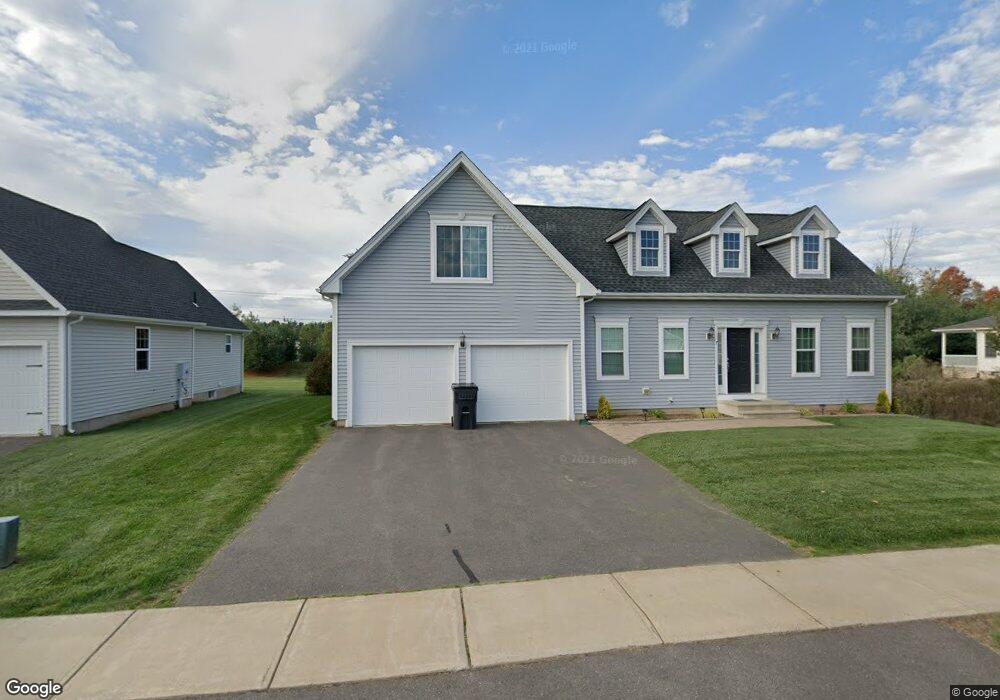
2 Harvest Ln Unit 2 Ellington, CT 06029
Estimated Value: $440,000 - $494,000
2
Beds
2
Baths
1,658
Sq Ft
$283/Sq Ft
Est. Value
About This Home
This home is located at 2 Harvest Ln Unit 2, Ellington, CT 06029 and is currently estimated at $469,108, approximately $282 per square foot. 2 Harvest Ln Unit 2 is a home located in Tolland County with nearby schools including Ellington High School.
Ownership History
Date
Name
Owned For
Owner Type
Purchase Details
Closed on
Aug 22, 2011
Sold by
Conboy Nancy E Est
Bought by
Iozzo Gail H
Current Estimated Value
Home Financials for this Owner
Home Financials are based on the most recent Mortgage that was taken out on this home.
Original Mortgage
$200,000
Outstanding Balance
$137,811
Interest Rate
4.62%
Estimated Equity
$331,297
Purchase Details
Closed on
Aug 13, 2008
Sold by
Spring Woods Llc
Bought by
Conboy Nancy Ellen
Home Financials for this Owner
Home Financials are based on the most recent Mortgage that was taken out on this home.
Original Mortgage
$100,000
Interest Rate
6.4%
Create a Home Valuation Report for This Property
The Home Valuation Report is an in-depth analysis detailing your home's value as well as a comparison with similar homes in the area
Home Values in the Area
Average Home Value in this Area
Purchase History
| Date | Buyer | Sale Price | Title Company |
|---|---|---|---|
| Iozzo Gail H | $250,000 | -- | |
| Conboy Nancy Ellen | $344,000 | -- |
Source: Public Records
Mortgage History
| Date | Status | Borrower | Loan Amount |
|---|---|---|---|
| Open | Conboy Nancy Ellen | $200,000 | |
| Previous Owner | Conboy Nancy Ellen | $100,000 |
Source: Public Records
Tax History
| Year | Tax Paid | Tax Assessment Tax Assessment Total Assessment is a certain percentage of the fair market value that is determined by local assessors to be the total taxable value of land and additions on the property. | Land | Improvement |
|---|---|---|---|---|
| 2025 | $7,381 | $198,950 | $0 | $198,950 |
| 2024 | $7,162 | $198,950 | $0 | $198,950 |
| 2023 | $6,824 | $198,950 | $0 | $198,950 |
| 2022 | $6,466 | $198,950 | $0 | $198,950 |
| 2021 | $6,287 | $198,950 | $0 | $198,950 |
| 2020 | $6,733 | $206,540 | $0 | $206,540 |
| 2019 | $6,733 | $206,540 | $0 | $206,540 |
| 2016 | $5,546 | $181,820 | $0 | $181,820 |
| 2015 | $5,951 | $195,100 | $0 | $195,100 |
| 2014 | $5,599 | $195,100 | $0 | $195,100 |
Source: Public Records
Map
Nearby Homes
- 58 Maple St
- 89 Maple St
- 41 Cider Mill Rd
- 222 Mountain Rd
- 6 Setting Sun Trail
- 2 Setting Sun Trail
- 178 Crystal Lake Rd
- 0 Porter Rd
- 96 Muddy Brook Rd
- 3 Meagan Cir
- 437 Somers Rd
- 164 Pinney St
- 37 Ellsworth Ln
- 254 Jobs Hill Rd
- 4 Orchard Ave
- 24 West Rd Unit 44
- 89 Crystal Lake Rd Unit T7
- 22 N Park St
- 33 Lanz Ln
- 99 Davis Avenue Extension
- 2 Harvest Ln
- 4 Harvest Ln
- 40 Steeple View Dr
- 51 Steeple View Dr Unit 51
- 6 Harvest Ln Unit 6
- 21 Steeple View Dr Unit 21
- 3 Cornfield Ln Unit (UNIT37)
- 3 Cornfield Ln Unit 3
- 25 Steeple View Dr
- 30 Steeple View Dr
- 49 Steeple View Dr
- 36 Steeple View Dr
- 47 Steeple View Dr Unit 23
- 27 Steeple View Dr
- 19 Steeple View Dr Unit 19
- 4 Cornfield Ln
- 29 Steeple View Dr
- 1 Steeple View Dr Unit 1
- 12 Steeple View Dr
- 18 Maple St
Your Personal Tour Guide
Ask me questions while you tour the home.