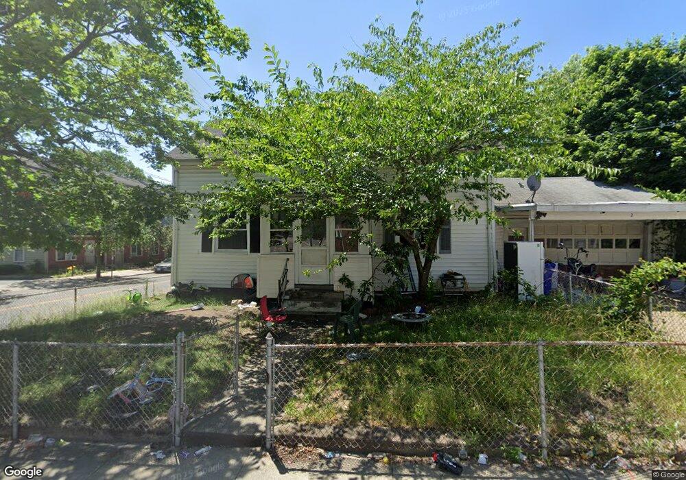
2 Hawes St Pawtucket, RI 02860
Downtown Pawtucket NeighborhoodEstimated Value: $378,239 - $536,000
4
Beds
3
Baths
1,802
Sq Ft
$263/Sq Ft
Est. Value
About This Home
This home is located at 2 Hawes St, Pawtucket, RI 02860 and is currently estimated at $473,810, approximately $262 per square foot. 2 Hawes St is a home located in Providence County with nearby schools including Saint Raphael Academy.
Ownership History
Date
Name
Owned For
Owner Type
Purchase Details
Closed on
Mar 4, 2013
Sold by
626 Central Avenue Rt
Bought by
626 Central Avenue Rt
Current Estimated Value
Purchase Details
Closed on
Dec 29, 2011
Sold by
Ducharme Raymond P and Ducharme Kimberly I
Bought by
Civil Process Svcs
Purchase Details
Closed on
May 9, 2011
Sold by
Janet Henson Co
Bought by
Ducharme Raymond P
Purchase Details
Closed on
Jun 29, 2010
Sold by
Ducharme Raymond P
Bought by
Janet Henson Co
Purchase Details
Closed on
May 26, 2010
Sold by
Ducharme Raymond P
Bought by
Janet Henson Co
Purchase Details
Closed on
Aug 20, 2002
Sold by
Floyd John T and Floyd Carolyn A
Bought by
Ducharme Raymond P
Create a Home Valuation Report for This Property
The Home Valuation Report is an in-depth analysis detailing your home's value as well as a comparison with similar homes in the area
Home Values in the Area
Average Home Value in this Area
Purchase History
| Date | Buyer | Sale Price | Title Company |
|---|---|---|---|
| 626 Central Avenue Rt | -- | -- | |
| Civil Process Svcs | -- | -- | |
| Civil Process Svcs | -- | -- | |
| Ducharme Raymond P | $1,268 | -- | |
| Janet Henson Co | -- | -- | |
| Janet Henson Co | -- | -- | |
| Ducharme Raymond P | $128,000 | -- |
Source: Public Records
Mortgage History
| Date | Status | Borrower | Loan Amount |
|---|---|---|---|
| Previous Owner | Ducharme Raymond P | $220,000 | |
| Previous Owner | Ducharme Raymond P | $175,000 | |
| Previous Owner | Ducharme Raymond P | $144,000 |
Source: Public Records
Tax History
| Year | Tax Paid | Tax Assessment Tax Assessment Total Assessment is a certain percentage of the fair market value that is determined by local assessors to be the total taxable value of land and additions on the property. | Land | Improvement |
|---|---|---|---|---|
| 2025 | $4,265 | $324,300 | $86,500 | $237,800 |
| 2024 | $4,002 | $324,300 | $86,500 | $237,800 |
| 2023 | $3,488 | $205,900 | $37,800 | $168,100 |
| 2022 | $3,414 | $205,900 | $37,800 | $168,100 |
| 2021 | $3,414 | $205,900 | $37,800 | $168,100 |
| 2020 | $3,313 | $158,600 | $47,200 | $111,400 |
| 2019 | $3,313 | $158,600 | $47,200 | $111,400 |
| 2018 | $3,193 | $158,600 | $47,200 | $111,400 |
| 2017 | $2,901 | $127,700 | $41,000 | $86,700 |
| 2016 | $2,795 | $127,700 | $41,000 | $86,700 |
| 2015 | $2,795 | $127,700 | $41,000 | $86,700 |
| 2014 | $2,770 | $120,100 | $41,000 | $79,100 |
Source: Public Records
Map
Nearby Homes
- 84 Barton St
- 78 Barton St
- 88 Barton St
- 140 Dexter St
- 256 High St
- 234 Central St Unit 236
- 396 Roosevelt Ave
- 28 Bayley St Unit 107
- 28 Bayley St Unit 301
- 35 Rand St
- 517 High St
- 511 High St
- 7 Fales St
- 30 Foundry St Unit 6
- 300 Front St Unit 409
- 108 Sumner Ave
- 45 Harrison St
- 14 Martin Ct
- 17 Beecher St
- 722 Dexter St Unit 726
Your Personal Tour Guide
Ask me questions while you tour the home.