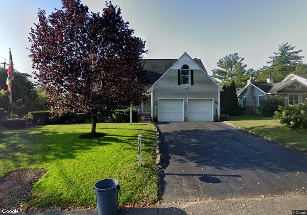
2 Hiawatha Ave Oceanport, NJ 07757
Estimated Value: $1,011,000 - $1,271,000
4
Beds
3
Baths
2,717
Sq Ft
$441/Sq Ft
Est. Value
About This Home
This home is located at 2 Hiawatha Ave, Oceanport, NJ 07757 and is currently estimated at $1,196,897, approximately $440 per square foot. 2 Hiawatha Ave is a home located in Monmouth County with nearby schools including Wolf Hill Elementary School, Maple Place Elementary and Middle School, and Shore Regional High School.
Ownership History
Date
Name
Owned For
Owner Type
Purchase Details
Closed on
Nov 15, 2013
Sold by
Gallagher John D and Ryan Tara
Bought by
Ryan Tara
Current Estimated Value
Purchase Details
Closed on
Jul 7, 2011
Sold by
Ryan Tara
Bought by
Harrow Llc
Purchase Details
Closed on
Jun 10, 2009
Sold by
Gallagher John D
Bought by
Ryan Tara
Purchase Details
Closed on
Jul 29, 2005
Sold by
Hennessey Thomas
Bought by
Gallagher John Daniel and Ryan Tara
Create a Home Valuation Report for This Property
The Home Valuation Report is an in-depth analysis detailing your home's value as well as a comparison with similar homes in the area
Home Values in the Area
Average Home Value in this Area
Purchase History
| Date | Buyer | Sale Price | Title Company |
|---|---|---|---|
| Ryan Tara | -- | Coastal Title Agency Inc | |
| Harrow Llc | -- | Coastal Title Agency Inc | |
| Ryan Tara | -- | Coastal Title Agency Inc | |
| Gallagher John Daniel | $750,000 | -- |
Source: Public Records
Tax History Compared to Growth
Tax History
| Year | Tax Paid | Tax Assessment Tax Assessment Total Assessment is a certain percentage of the fair market value that is determined by local assessors to be the total taxable value of land and additions on the property. | Land | Improvement |
|---|---|---|---|---|
| 2025 | $13,941 | $945,700 | $420,700 | $525,000 |
| 2024 | $14,107 | $882,900 | $380,700 | $502,200 |
| 2023 | $14,107 | $847,800 | $370,700 | $477,100 |
| 2022 | $14,061 | $760,700 | $340,700 | $420,000 |
| 2021 | $14,061 | $738,100 | $335,700 | $402,400 |
| 2020 | $13,275 | $726,200 | $330,700 | $395,500 |
| 2019 | $12,830 | $712,400 | $330,700 | $381,700 |
| 2018 | $12,663 | $707,800 | $330,700 | $377,100 |
| 2017 | $12,329 | $571,600 | $184,500 | $387,100 |
| 2016 | $12,112 | $565,200 | $185,500 | $379,700 |
| 2015 | $11,415 | $550,400 | $180,500 | $369,900 |
| 2014 | $11,589 | $566,700 | $230,500 | $336,200 |
Source: Public Records
Map
Nearby Homes
- 15 Signal Ave
- 580 Patten Ave Unit 47
- 580 Patten Ave Unit 48
- 580 Patten Ave Unit 62
- 580 Patten Ave Unit 86
- 27 Ithaca Ave
- 13 Bayview Ct
- 177 Kingsley St
- 165 Kingsley St
- 16 Shore Dr
- 164 Airsdale Ave
- 392 Florence Ave
- 24 Baruch Dr
- 13 Morris Place
- 165 Riddle Ave Unit 7
- 154 Atlantic Ave
- 3 Foggia Way
- 1 Foggia Way
- 323 Florence Ave
- 222 Coleman Ave
- 6 Hiawatha Ave
- 106 Comanche Dr
- 37 Monmouth Blvd
- 118 Comanche Dr
- 113 Comanche Dr
- 117 Comanche Dr
- 10 Hiawatha Ave
- 7 Hiawatha Ave
- 123 Comanche Dr
- 43 Monmouth Blvd
- 23 Monmouth Blvd
- 6 Algonquin Ave
- 14 Hiawatha Ave
- 125 Comanche Dr
- 11 Hiawatha Ave
- 74 Wardell Cir
- 47 Monmouth Blvd
- 72 Wardell Cir
- 14 Wardell Cir
- 2 Wardell Cir