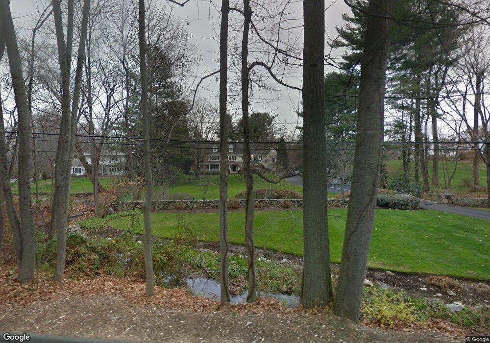
2 High Point Rd Westport, CT 06880
Staples NeighborhoodEstimated Value: $1,785,687 - $2,262,000
4
Beds
3
Baths
3,068
Sq Ft
$656/Sq Ft
Est. Value
About This Home
This home is located at 2 High Point Rd, Westport, CT 06880 and is currently estimated at $2,011,422, approximately $655 per square foot. 2 High Point Rd is a home located in Fairfield County with nearby schools including Long Lots School, Bedford Middle School, and Staples High School.
Ownership History
Date
Name
Owned For
Owner Type
Purchase Details
Closed on
Dec 17, 2018
Sold by
John A Thompson Ret and Thompson
Bought by
John A Thompson Ret and Marcantonio
Current Estimated Value
Purchase Details
Closed on
Mar 31, 2016
Sold by
Thompson John A
Bought by
John A Thompson Ret
Purchase Details
Closed on
Jun 22, 1976
Bought by
Thompson John A and Thompson Elva N
Create a Home Valuation Report for This Property
The Home Valuation Report is an in-depth analysis detailing your home's value as well as a comparison with similar homes in the area
Home Values in the Area
Average Home Value in this Area
Purchase History
| Date | Buyer | Sale Price | Title Company |
|---|---|---|---|
| John A Thompson Ret | -- | -- | |
| John A Thompson Ret | -- | -- | |
| John A Thompson Ret | -- | -- | |
| Thompson John A | -- | -- |
Source: Public Records
Mortgage History
| Date | Status | Borrower | Loan Amount |
|---|---|---|---|
| Previous Owner | Thompson John A | $186,000 | |
| Previous Owner | Thompson John A | $500,000 | |
| Previous Owner | Thompson John A | $280,700 | |
| Previous Owner | Thompson John A | $200,000 |
Source: Public Records
Tax History Compared to Growth
Tax History
| Year | Tax Paid | Tax Assessment Tax Assessment Total Assessment is a certain percentage of the fair market value that is determined by local assessors to be the total taxable value of land and additions on the property. | Land | Improvement |
|---|---|---|---|---|
| 2025 | $13,236 | $701,800 | $441,000 | $260,800 |
| 2024 | $13,068 | $701,800 | $441,000 | $260,800 |
| 2023 | $12,878 | $701,800 | $441,000 | $260,800 |
| 2022 | $12,682 | $701,800 | $441,000 | $260,800 |
| 2021 | $12,682 | $701,800 | $441,000 | $260,800 |
| 2020 | $11,755 | $752,600 | $452,200 | $300,400 |
| 2019 | $12,689 | $752,600 | $452,200 | $300,400 |
| 2018 | $12,689 | $752,600 | $452,200 | $300,400 |
| 2017 | $12,689 | $752,600 | $452,200 | $300,400 |
| 2016 | $12,689 | $752,600 | $452,200 | $300,400 |
| 2015 | $12,370 | $683,800 | $395,600 | $288,200 |
| 2014 | $12,267 | $683,800 | $395,600 | $288,200 |
Source: Public Records
Map
Nearby Homes
- 40 Maple Ave N
- 10 Debra Ln
- 107 Old Rd
- 1 Coastal Ct
- 21 Sturges Commons
- 14 Burr School Rd
- 16 Burr School Rd
- 1 Sturges Hwy Unit Lot 1
- 1 Sturges Hwy Unit 2
- 7 Morningside Ln
- 5 Willow Walk
- 125 Old Rd
- 4 Burr Farms Rd
- 6 Bayberry Common
- 185 Regents Park
- 9 Burr Farms Rd
- 13 Terhune Dr
- 20 Morningside Dr S
- 1001 Hulls Farm Rd
- 7 High Gate Rd
- 2 High Point Rd
- 137 Long Lots Rd
- 139 Long Lots Rd
- 1 High Point Rd
- 36 Hyde Ln
- 138 Long Lots Rd
- 129 Long Lots Rd
- 129 Long Lots Rd Unit R
- 129 Long Lots Rd Unit AKA Peabody Ln
- 129 Long Lots Rd
- 129 Long Lots Aka Peabody Lane Rd
- 3 High Point Rd
- 4 High Point Rd
- 30 Hyde Ln
- 151 Long Lots Rd
- 35 Hyde Ln
- 140 Long Lots Rd
- 6 Peabody Ln
- 2 Angora Rd
- 9 Bayberry Ln