Estimated Value: $446,000 - $920,000
Studio
--
Bath
840
Sq Ft
$729/Sq Ft
Est. Value
About This Home
This home is located at 2 Hudson Dr, Wayne, ME 04284 and is currently estimated at $611,960, approximately $728 per square foot. 2 Hudson Dr is a home.
Ownership History
Date
Name
Owned For
Owner Type
Purchase Details
Closed on
Oct 10, 2024
Sold by
Kelty David D and Kelty Joyce K
Bought by
Kelty Camp Irt and Kelty
Current Estimated Value
Purchase Details
Closed on
Sep 28, 2016
Sold by
Freeman Gordon M and Freeman Herta E
Bought by
Kelty David D and Kelty Joyce K
Home Financials for this Owner
Home Financials are based on the most recent Mortgage that was taken out on this home.
Original Mortgage
$200,000
Interest Rate
3.43%
Mortgage Type
New Conventional
Create a Home Valuation Report for This Property
The Home Valuation Report is an in-depth analysis detailing your home's value as well as a comparison with similar homes in the area
Home Values in the Area
Average Home Value in this Area
Purchase History
| Date | Buyer | Sale Price | Title Company |
|---|---|---|---|
| Kelty Camp Irt | -- | None Available | |
| Kelty Camp Irt | -- | None Available | |
| Kelty David D | -- | -- | |
| Kelty David D | -- | -- |
Source: Public Records
Mortgage History
| Date | Status | Borrower | Loan Amount |
|---|---|---|---|
| Previous Owner | Kelty David D | $200,000 |
Source: Public Records
Tax History
| Year | Tax Paid | Tax Assessment Tax Assessment Total Assessment is a certain percentage of the fair market value that is determined by local assessors to be the total taxable value of land and additions on the property. | Land | Improvement |
|---|---|---|---|---|
| 2024 | $5,360 | $453,100 | $340,700 | $112,400 |
| 2023 | $5,131 | $249,100 | $200,900 | $48,200 |
| 2022 | $4,672 | $247,600 | $200,900 | $46,700 |
| 2021 | $4,447 | $247,600 | $200,900 | $46,700 |
| 2020 | $427 | $244,700 | $200,900 | $43,800 |
| 2019 | $67 | $244,700 | $200,900 | $43,800 |
| 2017 | $417 | $247,600 | $200,900 | $46,700 |
| 2016 | $1,712 | $247,600 | $200,900 | $46,700 |
| 2015 | $3,608 | $247,600 | $200,900 | $46,700 |
| 2014 | $3,558 | $247,600 | $200,900 | $46,700 |
| 2013 | $3,516 | $247,600 | $200,900 | $46,700 |
Source: Public Records
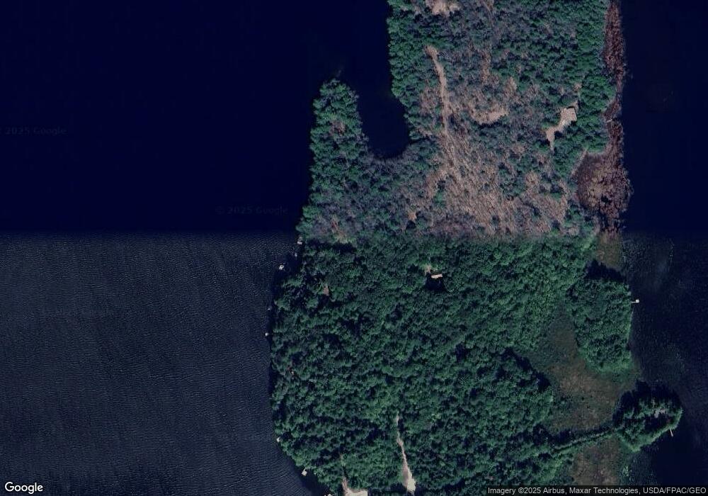
Map
Nearby Homes
- 286 Pond Rd
- 29 Kents Hill Rd
- M 6, L 32 Main St
- Lot 39 Main St
- 506 Main St
- 57 Deer Hill Rd
- 75 Lovejoy Shores Dr
- 1835 Main St
- 9 Russell St
- 1477 Main St
- 156 Lakeshore Dr
- 155 Old Kents Hill Rd
- 974 Sturtevant Hill Rd
- 232 Campground Rd
- 36 Mountain View Ln
- 132 Hunton Loop
- 60 Route 41
- 1588 Pond Rd
- 46 Squire Ct
- 31 Squire Ct
Your Personal Tour Guide
Ask me questions while you tour the home.