2 Indian Point Ln Westport, CT 06880
Old Hill NeighborhoodEstimated Value: $1,593,040 - $2,172,000
3
Beds
3
Baths
2,856
Sq Ft
$661/Sq Ft
Est. Value
About This Home
This home is located at 2 Indian Point Ln, Westport, CT 06880 and is currently estimated at $1,888,010, approximately $661 per square foot. 2 Indian Point Ln is a home located in Fairfield County with nearby schools including King's Highway Elementary School, Coleytown Middle School, and Staples High School.
Ownership History
Date
Name
Owned For
Owner Type
Purchase Details
Closed on
Mar 11, 2008
Sold by
Sirva Relocation Cred
Bought by
Manesiotis Betty and Feder Harold
Current Estimated Value
Purchase Details
Closed on
Jul 7, 2004
Sold by
Tierney John and Brichacek Robert
Bought by
Libby Russell Thomas and Libby Debra Jane
Home Financials for this Owner
Home Financials are based on the most recent Mortgage that was taken out on this home.
Original Mortgage
$600,000
Interest Rate
6.32%
Purchase Details
Closed on
Apr 3, 2003
Sold by
Lyons Blanche Z
Bought by
Birchacek Robert and Rierney John
Home Financials for this Owner
Home Financials are based on the most recent Mortgage that was taken out on this home.
Original Mortgage
$700,000
Interest Rate
5.88%
Create a Home Valuation Report for This Property
The Home Valuation Report is an in-depth analysis detailing your home's value as well as a comparison with similar homes in the area
Home Values in the Area
Average Home Value in this Area
Purchase History
| Date | Buyer | Sale Price | Title Company |
|---|---|---|---|
| Manesiotis Betty | $1,250,000 | -- | |
| Sirva Relocation Cred | $1,250,000 | -- | |
| Manesiotis Betty | $1,250,000 | -- | |
| Libby Russell Thomas | $1,150,000 | -- | |
| Libby Russell Thomas | $1,150,000 | -- | |
| Birchacek Robert | $1,000,000 | -- | |
| Birchacek Robert | $1,000,000 | -- |
Source: Public Records
Mortgage History
| Date | Status | Borrower | Loan Amount |
|---|---|---|---|
| Previous Owner | Birchacek Robert | $600,000 | |
| Previous Owner | Birchacek Robert | $700,000 |
Source: Public Records
Tax History Compared to Growth
Tax History
| Year | Tax Paid | Tax Assessment Tax Assessment Total Assessment is a certain percentage of the fair market value that is determined by local assessors to be the total taxable value of land and additions on the property. | Land | Improvement |
|---|---|---|---|---|
| 2025 | $11,691 | $619,900 | $404,300 | $215,600 |
| 2024 | $11,543 | $619,900 | $404,300 | $215,600 |
| 2023 | $11,375 | $619,900 | $404,300 | $215,600 |
| 2022 | $11,202 | $619,900 | $404,300 | $215,600 |
| 2021 | $11,202 | $619,900 | $404,300 | $215,600 |
| 2020 | $10,300 | $657,700 | $426,000 | $231,700 |
| 2019 | $11,089 | $657,700 | $426,000 | $231,700 |
| 2018 | $11,089 | $657,700 | $426,000 | $231,700 |
| 2017 | $11,089 | $657,700 | $426,000 | $231,700 |
| 2016 | $11,089 | $657,700 | $426,000 | $231,700 |
| 2015 | $12,486 | $690,200 | $353,800 | $336,400 |
| 2014 | $12,382 | $690,200 | $353,800 | $336,400 |
Source: Public Records
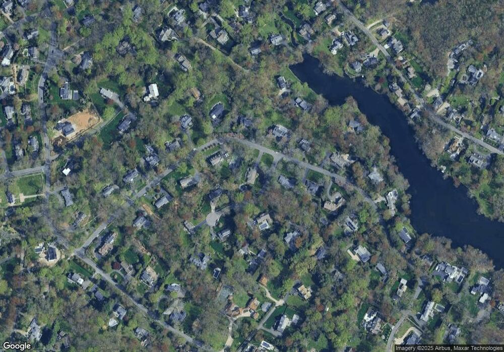
Map
Nearby Homes
- 33 Pequot Trail
- 7 Peaceful Ln
- 3 Tanglewood Ln
- 11 Old Hill Rd
- 20 Old Hill Rd
- 13 Orchard Hill Rd
- 21 Wright St
- 113 Kings Hwy N
- 60 Wilton Rd Unit 2C
- 142 Wolfpit Ave
- 42 Kings Hwy S
- 13 Hills Ln
- 9 Trailside Dr
- 505 Westport Ave
- 100 Wolfpit Ave Unit 2
- 100 Wolfpit Ave Unit 17
- 15 Renzulli Rd
- 3 Bolton Ln
- 57 Partrick Rd
- 7 Renzulli Rd
- 23 Pequot Trail
- 24 Pequot Trail
- 5 Indian Point Ln
- 21 Pequot Trail
- 26 Pequot Trail
- 22 Pequot Trail
- 27 Pequot Trail
- 8 Indian Point Ln
- 3 Indian Point Ln
- 9 Indian Point Ln
- 19 Pequot Trail
- 20 Pequot Trail
- 7 Blind Brook Rd S
- 7 Indian Point Ln
- 28 Pequot Trail
- 10 Indian Point Ln
- 5 Blind Brook Rd S
- 32 Pequot Trail
- 15 Pequot Trail
- 17 Pequot Trail