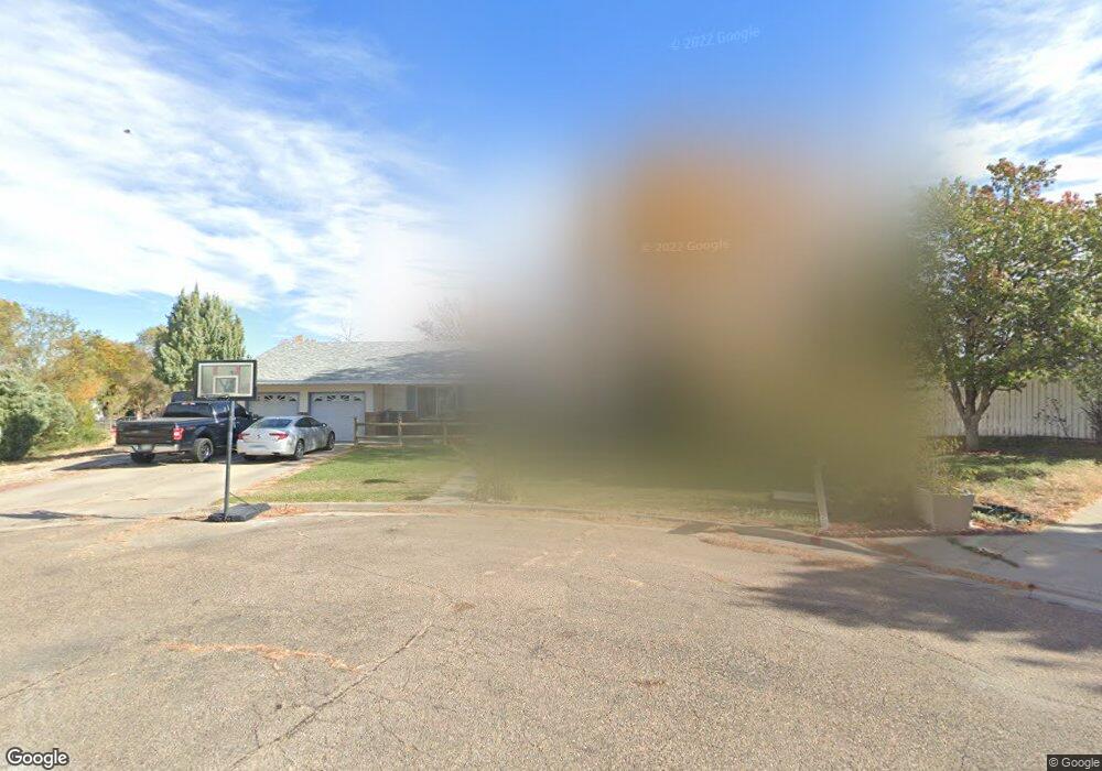
2 Jackson Cir Unit 1 La Junta, CO 81050
Estimated Value: $279,000 - $359,000
4
Beds
4
Baths
2,486
Sq Ft
$131/Sq Ft
Est. Value
About This Home
This home is located at 2 Jackson Cir Unit 1, La Junta, CO 81050 and is currently estimated at $325,718, approximately $131 per square foot. 2 Jackson Cir Unit 1 is a home located in Otero County with nearby schools including La Junta Intermediate School, La Junta Primary School, and La Junta Junior/Senior High School.
Ownership History
Date
Name
Owned For
Owner Type
Purchase Details
Closed on
Jun 4, 2009
Sold by
The Bank Of New York Mellon
Bought by
Martinez Patrick R and Martinez Melanie E
Current Estimated Value
Home Financials for this Owner
Home Financials are based on the most recent Mortgage that was taken out on this home.
Original Mortgage
$119,790
Outstanding Balance
$73,839
Interest Rate
4.72%
Mortgage Type
FHA
Estimated Equity
$251,879
Purchase Details
Closed on
Aug 28, 2008
Sold by
Bemis Lanny E and Bemis Judy A
Bought by
Jpmorgan Chase Bank
Create a Home Valuation Report for This Property
The Home Valuation Report is an in-depth analysis detailing your home's value as well as a comparison with similar homes in the area
Home Values in the Area
Average Home Value in this Area
Purchase History
| Date | Buyer | Sale Price | Title Company |
|---|---|---|---|
| Martinez Patrick R | $122,000 | Security Title | |
| Jpmorgan Chase Bank | -- | None Available |
Source: Public Records
Mortgage History
| Date | Status | Borrower | Loan Amount |
|---|---|---|---|
| Open | Martinez Patrick R | $119,790 |
Source: Public Records
Tax History
| Year | Tax Paid | Tax Assessment Tax Assessment Total Assessment is a certain percentage of the fair market value that is determined by local assessors to be the total taxable value of land and additions on the property. | Land | Improvement |
|---|---|---|---|---|
| 2025 | $1,127 | $16,026 | $0 | $0 |
| 2024 | $939 | $14,251 | $670 | $13,581 |
| 2023 | $939 | $14,251 | $670 | $13,581 |
| 2022 | $863 | $12,787 | $695 | $12,092 |
| 2021 | $854 | $13,155 | $715 | $12,440 |
| 2020 | $744 | $11,597 | $715 | $10,882 |
| 2019 | $753 | $11,597 | $715 | $10,882 |
| 2018 | $624 | $9,640 | $720 | $8,920 |
| 2017 | $621 | $9,640 | $720 | $8,920 |
| 2016 | $748 | $10,821 | $796 | $10,025 |
| 2015 | $811 | $10,821 | $796 | $10,025 |
| 2014 | $811 | $10,542 | $796 | $9,746 |
Source: Public Records
Map
Nearby Homes
- 2118 Belleview Ave
- 0 Yucca Rd
- 1504 Belleview Ave
- 77 Circle Dr
- 1322 Lincoln Ave
- 1801 Raton Ave
- 15 Circle Dr
- 56 Sierra Dr
- 2117 Raton Ave
- 102 W 26th St
- 318 W 10th St
- 18 Chaparral Cir
- 1104 W 12th St
- 915 Maple Ave
- 916 Belleview Ave
- 1015 Colorado Ave
- 901 San Juan Ave
- 816 Belleview Ave
- 809 Belleview Ave
- 1114 Reed Ln Unit 49
- 2 Jackson Cir
- 1901 College Dr
- 3 Jackson Cir
- 1923 College Dr
- 1823 College Dr
- 1902 Carson Ave
- 1910 Carson Ave
- 1920 College Dr
- 1902 College Dr
- 1816 College Dr
- 1907 Carson Ave
- 1812 College Dr
- 1824 College Dr
- 1809 College Dr
- 1802 College Dr
- 1801 College Dr
- 1802 Carson Ave
- 1921 Carson Ave
- 1901 Carson Ave
- 1912 College Dr
Your Personal Tour Guide
Ask me questions while you tour the home.