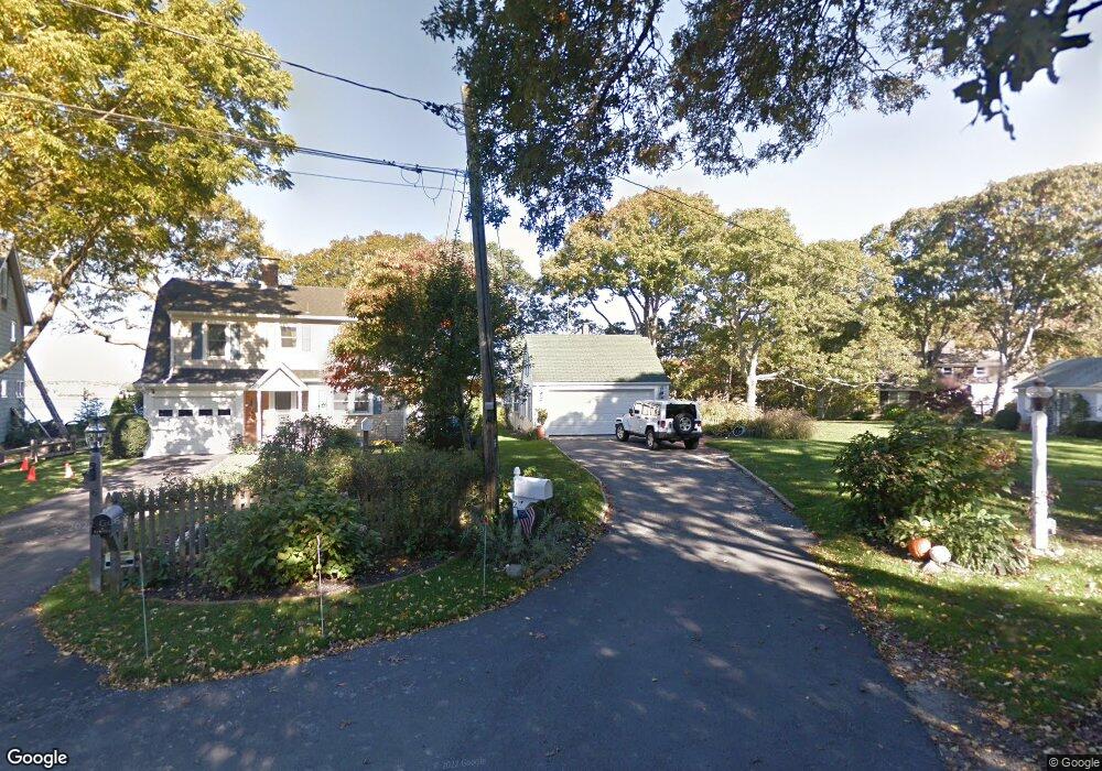
2 Jefferson Rd Bourne, MA 2532
Estimated Value: $1,310,000 - $1,864,000
Studio
--
Bath
--
Sq Ft
0.65
Acres
About This Home
This home is located at 2 Jefferson Rd, Bourne, MA 2532 and is currently estimated at $1,598,034. 2 Jefferson Rd is a home located in Barnstable County with nearby schools including Bourne High School, St Margaret Regional School, and Cadence Academy Preschool - Bourne.
Ownership History
Date
Name
Owned For
Owner Type
Purchase Details
Closed on
Oct 31, 2006
Sold by
Richter Peter G
Bought by
Hallam 3Rd Arthur R and Hallam Katherine A
Current Estimated Value
Home Financials for this Owner
Home Financials are based on the most recent Mortgage that was taken out on this home.
Original Mortgage
$375,000
Interest Rate
6.48%
Mortgage Type
Purchase Money Mortgage
Create a Home Valuation Report for This Property
The Home Valuation Report is an in-depth analysis detailing your home's value as well as a comparison with similar homes in the area
Purchase History
| Date | Buyer | Sale Price | Title Company |
|---|---|---|---|
| Hallam 3Rd Arthur R | $789,500 | -- | |
| Hallam 3Rd Arthur R | $789,500 | -- |
Source: Public Records
Mortgage History
| Date | Status | Borrower | Loan Amount |
|---|---|---|---|
| Open | Hallam 3Rd Arthur R | $356,160 | |
| Closed | Hallam 3Rd Arthur R | $375,000 |
Source: Public Records
Tax History Compared to Growth
Tax History
| Year | Tax Paid | Tax Assessment Tax Assessment Total Assessment is a certain percentage of the fair market value that is determined by local assessors to be the total taxable value of land and additions on the property. | Land | Improvement |
|---|---|---|---|---|
| 2025 | $11,369 | $1,455,700 | $749,400 | $706,300 |
| 2024 | $10,323 | $1,287,100 | $713,600 | $573,500 |
| 2023 | $10,036 | $1,139,200 | $631,600 | $507,600 |
| 2022 | $9,656 | $957,000 | $558,900 | $398,100 |
| 2021 | $9,381 | $871,000 | $508,700 | $362,300 |
| 2020 | $0 | $827,100 | $503,800 | $323,300 |
| 2019 | $6,868 | $653,500 | $454,800 | $198,700 |
| 2018 | $5,693 | $540,100 | $433,200 | $106,900 |
| 2017 | $6,443 | $625,500 | $429,100 | $196,400 |
| 2016 | $6,314 | $621,500 | $429,200 | $192,300 |
| 2015 | $6,259 | $621,500 | $429,200 | $192,300 |
Source: Public Records
Map
Nearby Homes
- 151 - 153 Main St
- 46 Holt Rd Unit A
- 40-A Lafayette Ave
- 4 Van Bummel Rd
- 13 Laurel Hill Ct
- 44 Cotuit Rd
- 56 Rip Van Winkle Way
- 203 County Rd
- 23 Alderberry Rd
- 3 Wolf Rd
- 60 Sandwich Rd
- 38 Old Bridge Rd
- 5 Sea Knoll Ct
- 6 Honora Ct
- 26 Carnoustie Rd
- 90-92 Sandwich Rd Unit 2
- 48 Maple St
- 304 Main St
- 12 Turnberry Rd Unit 12
- 3 Fairway Dr Unit F