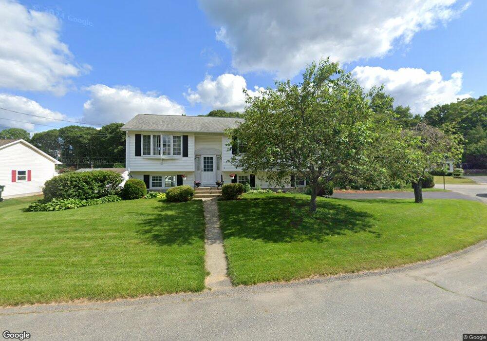
2 Jeffrey Ave Auburn, MA 01501
Stoneville NeighborhoodEstimated Value: $478,171 - $533,000
3
Beds
3
Baths
1,158
Sq Ft
$436/Sq Ft
Est. Value
About This Home
This home is located at 2 Jeffrey Ave, Auburn, MA 01501 and is currently estimated at $505,043, approximately $436 per square foot. 2 Jeffrey Ave is a home located in Worcester County with nearby schools including Auburn Senior High School and Shrewsbury Montessori School - Auburn Campus.
Ownership History
Date
Name
Owned For
Owner Type
Purchase Details
Closed on
Oct 11, 2012
Sold by
Jankowski John J and Jankowski Janet L
Bought by
Jankowski Rt and Jankowski John J
Current Estimated Value
Purchase Details
Closed on
Jul 28, 1993
Sold by
Ashe Thomas R and Ashe Marilyn
Bought by
Jankowski John J and Jankowski Janet
Home Financials for this Owner
Home Financials are based on the most recent Mortgage that was taken out on this home.
Original Mortgage
$47,500
Interest Rate
7.32%
Mortgage Type
Purchase Money Mortgage
Create a Home Valuation Report for This Property
The Home Valuation Report is an in-depth analysis detailing your home's value as well as a comparison with similar homes in the area
Home Values in the Area
Average Home Value in this Area
Purchase History
| Date | Buyer | Sale Price | Title Company |
|---|---|---|---|
| Jankowski Rt | -- | -- | |
| Jankowski John J | $138,500 | -- |
Source: Public Records
Mortgage History
| Date | Status | Borrower | Loan Amount |
|---|---|---|---|
| Previous Owner | Jankowski John J | $47,500 | |
| Previous Owner | Jankowski John J | $70,000 | |
| Previous Owner | Jankowski John J | $15,000 | |
| Previous Owner | Jankowski John J | $58,000 |
Source: Public Records
Tax History
| Year | Tax Paid | Tax Assessment Tax Assessment Total Assessment is a certain percentage of the fair market value that is determined by local assessors to be the total taxable value of land and additions on the property. | Land | Improvement |
|---|---|---|---|---|
| 2025 | $60 | $422,700 | $126,600 | $296,100 |
| 2024 | $6,024 | $403,500 | $120,800 | $282,700 |
| 2023 | $5,750 | $362,100 | $109,800 | $252,300 |
| 2022 | $5,347 | $317,900 | $109,800 | $208,100 |
| 2021 | $5,067 | $279,300 | $96,900 | $182,400 |
| 2020 | $5,022 | $279,300 | $96,900 | $182,400 |
| 2019 | $4,896 | $265,800 | $96,000 | $169,800 |
| 2018 | $4,630 | $251,100 | $89,700 | $161,400 |
| 2017 | $4,389 | $239,300 | $81,400 | $157,900 |
| 2016 | $4,047 | $223,700 | $85,100 | $138,600 |
| 2015 | $3,766 | $218,200 | $85,100 | $133,100 |
| 2014 | $3,638 | $210,400 | $80,900 | $129,500 |
Source: Public Records
Map
Nearby Homes
- 328 Oxford St N
- 51 Old Cart Rd
- 166 Leicester St
- 33 Eastford Rd
- 12 Bylund Ave
- 19-20 Williams St
- 1-9 Helens Way
- 36 Central St
- 8 South Terrace
- 177 Oxford St N
- 25 Vinal St Unit 28
- 25 Vinal St Unit 26
- 25 Vinal St Unit 29
- 25 Vinal St Unit 30
- 61 School St
- 401 Forest Park Dr
- 177 Boyce St
- 751 Washington St Unit 43A
- 5 Commonwealth Ave
- 5 Rice Rd
Your Personal Tour Guide
Ask me questions while you tour the home.