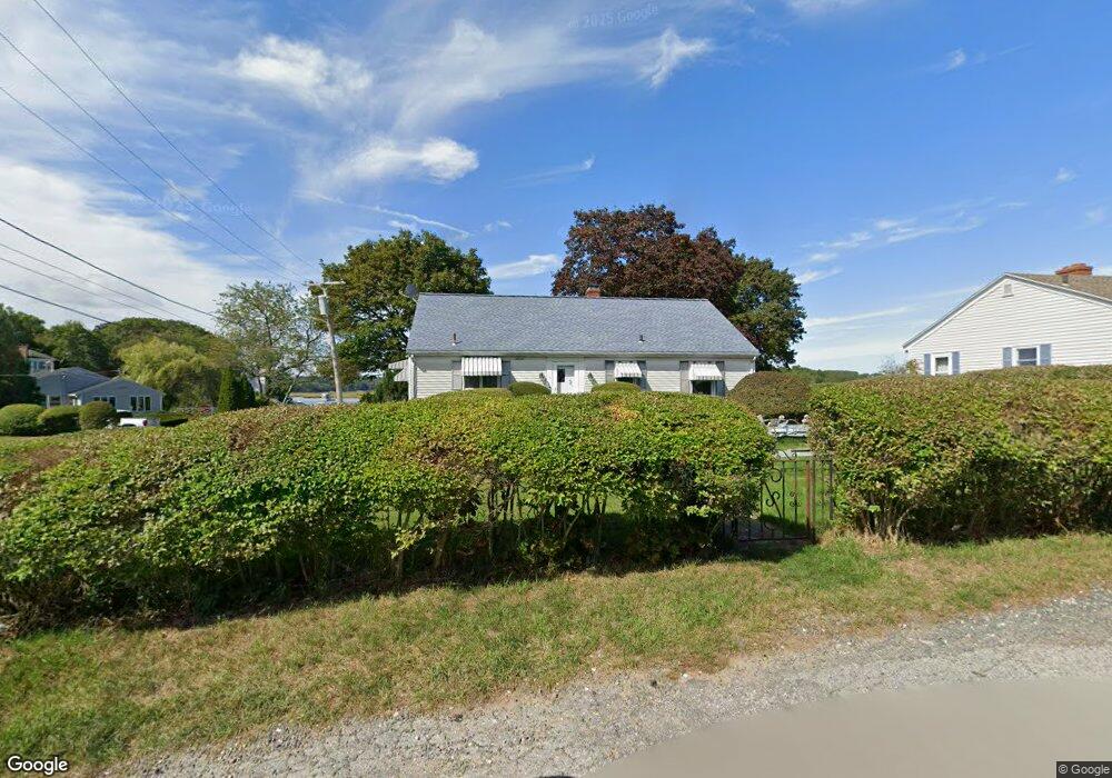
2 Juniper Rd Gloucester, MA 01930
Riverview NeighborhoodEstimated Value: $670,000 - $1,263,000
3
Beds
2
Baths
1,800
Sq Ft
$578/Sq Ft
Est. Value
About This Home
This home is located at 2 Juniper Rd, Gloucester, MA 01930 and is currently estimated at $1,039,767, approximately $577 per square foot. 2 Juniper Rd is a home located in Essex County with nearby schools including Beeman Memorial, Ralph B O'maley Middle School, and Gloucester High School.
Ownership History
Date
Name
Owned For
Owner Type
Purchase Details
Closed on
Oct 24, 2018
Sold by
Curcuru Donna
Bought by
Curcuru Donna and Curcuru Nicholas M
Current Estimated Value
Purchase Details
Closed on
Feb 28, 1996
Sold by
Welch George M
Bought by
Curcuru Donna
Home Financials for this Owner
Home Financials are based on the most recent Mortgage that was taken out on this home.
Original Mortgage
$215,000
Interest Rate
7.02%
Mortgage Type
Purchase Money Mortgage
Create a Home Valuation Report for This Property
The Home Valuation Report is an in-depth analysis detailing your home's value as well as a comparison with similar homes in the area
Home Values in the Area
Average Home Value in this Area
Purchase History
| Date | Buyer | Sale Price | Title Company |
|---|---|---|---|
| Curcuru Donna | -- | -- | |
| Curcuru Donna | $265,000 | -- |
Source: Public Records
Mortgage History
| Date | Status | Borrower | Loan Amount |
|---|---|---|---|
| Previous Owner | Curcuru Donna | $25,000 | |
| Previous Owner | Curcuru Donna | $215,000 |
Source: Public Records
Tax History
| Year | Tax Paid | Tax Assessment Tax Assessment Total Assessment is a certain percentage of the fair market value that is determined by local assessors to be the total taxable value of land and additions on the property. | Land | Improvement |
|---|---|---|---|---|
| 2025 | $10,789 | $1,110,000 | $796,500 | $313,500 |
| 2024 | $10,384 | $1,067,200 | $758,600 | $308,600 |
| 2023 | $9,926 | $937,300 | $647,200 | $290,100 |
| 2022 | $9,472 | $807,500 | $563,000 | $244,500 |
| 2021 | $9,527 | $765,800 | $511,900 | $253,900 |
| 2020 | $9,165 | $743,300 | $511,900 | $231,400 |
| 2019 | $8,953 | $705,500 | $488,100 | $217,400 |
| 2018 | $8,826 | $682,600 | $476,200 | $206,400 |
| 2017 | $8,531 | $646,800 | $453,500 | $193,300 |
| 2016 | $9,145 | $671,900 | $507,700 | $164,200 |
| 2015 | $8,945 | $655,300 | $496,200 | $159,100 |
Source: Public Records
Map
Nearby Homes
- 2 Finch Ln
- 167 Atlantic St
- 6 Monroe Ct
- 98 Maplewood Ave
- 5 Samoset Rd Unit B
- 16 Cleveland Place Unit 11
- 15 Harvard St
- 672 Washington St
- 226 Atlantic St
- 84 Centennial Ave
- 40 Sargent St
- 20 Beacon St Unit 2
- 20 Beacon St Unit 1
- 33 Maplewood Ave Unit 16
- 10 Oak St Unit 3
- 5 Marshfield St
- 55 Mansfield St Unit A
- 55 Mansfield St Unit B
- 55 Mansfield St
- 33 Middle St
- 4 Juniper Rd
- 28 Corliss Ave
- 1 Juniper Rd
- 3 Juniper Rd
- 26 Corliss Ave
- 32 Corliss Ave
- 6 Juniper Rd
- 24 Corliss Ave
- 22 Apple St
- 21 Corliss Ave
- 5 Juniper Rd
- 8 Juniper Rd
- 26 Linden Rd
- 2 Blueberry Ln
- 20 Apple St
- 25 Riverview Rd
- 25R Riverview Rd Unit B
- 25R Riverview Rd Unit A
- 25R Riverview Rd Unit 1
- 25 Riverview Rd Unit B