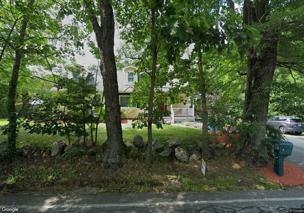
2 Kendall Rd Tewksbury, MA 01876
Estimated Value: $754,955 - $871,000
3
Beds
2
Baths
2,562
Sq Ft
$323/Sq Ft
Est. Value
About This Home
This home is located at 2 Kendall Rd, Tewksbury, MA 01876 and is currently estimated at $827,739, approximately $323 per square foot. 2 Kendall Rd is a home located in Middlesex County with nearby schools including John F. Ryan Elementary School, John W. Wynn Middle School, and Tewksbury Memorial High School.
Ownership History
Date
Name
Owned For
Owner Type
Purchase Details
Closed on
Mar 11, 1994
Sold by
Harvey Brian and Harvey Kimberly A
Bought by
Elia Michael and Buckley Patrice
Current Estimated Value
Home Financials for this Owner
Home Financials are based on the most recent Mortgage that was taken out on this home.
Original Mortgage
$133,800
Interest Rate
6.93%
Mortgage Type
Purchase Money Mortgage
Purchase Details
Closed on
Mar 11, 1988
Sold by
Harrington Daniel R
Bought by
Harvey Brian
Create a Home Valuation Report for This Property
The Home Valuation Report is an in-depth analysis detailing your home's value as well as a comparison with similar homes in the area
Home Values in the Area
Average Home Value in this Area
Purchase History
| Date | Buyer | Sale Price | Title Company |
|---|---|---|---|
| Elia Michael | $135,000 | -- | |
| Harvey Brian | $150,000 | -- |
Source: Public Records
Mortgage History
| Date | Status | Borrower | Loan Amount |
|---|---|---|---|
| Open | Harvey Brian | $188,000 | |
| Closed | Harvey Brian | $50,000 | |
| Closed | Harvey Brian | $124,000 | |
| Closed | Harvey Brian | $133,800 |
Source: Public Records
Tax History Compared to Growth
Tax History
| Year | Tax Paid | Tax Assessment Tax Assessment Total Assessment is a certain percentage of the fair market value that is determined by local assessors to be the total taxable value of land and additions on the property. | Land | Improvement |
|---|---|---|---|---|
| 2025 | $9,220 | $697,400 | $306,000 | $391,400 |
| 2024 | $9,147 | $683,100 | $291,700 | $391,400 |
| 2023 | $8,543 | $605,900 | $265,200 | $340,700 |
| 2022 | $8,358 | $549,900 | $230,200 | $319,700 |
| 2021 | $8,085 | $514,300 | $209,500 | $304,800 |
| 2020 | $7,720 | $483,400 | $199,200 | $284,200 |
| 2019 | $7,339 | $463,300 | $190,100 | $273,200 |
| 2018 | $6,986 | $433,100 | $190,100 | $243,000 |
| 2017 | $6,263 | $384,000 | $190,100 | $193,900 |
| 2016 | $6,295 | $385,000 | $190,100 | $194,900 |
| 2015 | $5,671 | $346,400 | $181,000 | $165,400 |
| 2014 | $5,416 | $336,200 | $181,000 | $155,200 |
Source: Public Records
Map
Nearby Homes
- 399 North St
- 1170 Livingston St
- 1117 Emerald Ct
- 11 Emerald Ct
- 1224 Emerald Ct
- 20 Meredith Rd
- 68 Catamount Rd
- 51 Nolan Ct Unit 51
- 13 Berkeley
- 100 Pleasant St Unit 14
- 139 Prospect Hill Dr Unit Lot 15
- 18 Newton Ave
- 11 Orchard St
- 1325 Main
- 1334 Main St
- 61 Patrick Rd
- 101 Squire Ln
- 1418 Main St Unit 201
- 142 Patrick Rd
- 101 Bellevue Rd