2 Kenzie Way Biddeford, ME 04005
Estimated Value: $668,000 - $687,515
3
Beds
3
Baths
2,234
Sq Ft
$304/Sq Ft
Est. Value
About This Home
This home is located at 2 Kenzie Way, Biddeford, ME 04005 and is currently estimated at $679,129, approximately $303 per square foot. 2 Kenzie Way is a home with nearby schools including John F Kennedy Memorial School, Biddeford Intermediate School, and Biddeford Primary School.
Ownership History
Date
Name
Owned For
Owner Type
Purchase Details
Closed on
Oct 15, 2020
Sold by
Gagne Jill L
Bought by
Gagne Scott E
Current Estimated Value
Purchase Details
Closed on
Sep 11, 2007
Sold by
Parent Lynn M and Parent Eric L
Bought by
Gagne Scott R and Gagne Jill L
Create a Home Valuation Report for This Property
The Home Valuation Report is an in-depth analysis detailing your home's value as well as a comparison with similar homes in the area
Home Values in the Area
Average Home Value in this Area
Purchase History
| Date | Buyer | Sale Price | Title Company |
|---|---|---|---|
| Gagne Scott E | -- | None Available | |
| Gagne Scott R | -- | -- |
Source: Public Records
Mortgage History
| Date | Status | Borrower | Loan Amount |
|---|---|---|---|
| Previous Owner | Gagne Scott R | $205,000 | |
| Previous Owner | Gagne Scott R | $208,000 |
Source: Public Records
Tax History Compared to Growth
Tax History
| Year | Tax Paid | Tax Assessment Tax Assessment Total Assessment is a certain percentage of the fair market value that is determined by local assessors to be the total taxable value of land and additions on the property. | Land | Improvement |
|---|---|---|---|---|
| 2024 | $7,854 | $552,300 | $191,500 | $360,800 |
| 2023 | $7,203 | $549,000 | $188,200 | $360,800 |
| 2022 | $6,955 | $423,800 | $97,500 | $326,300 |
| 2021 | $6,628 | $363,600 | $83,900 | $279,700 |
| 2020 | $6,649 | $331,600 | $73,900 | $257,700 |
| 2019 | $6,625 | $331,600 | $73,900 | $257,700 |
| 2018 | $6,533 | $331,600 | $73,900 | $257,700 |
| 2017 | $5,995 | $298,700 | $73,900 | $224,800 |
| 2016 | $5,932 | $298,700 | $73,900 | $224,800 |
| 2015 | $5,621 | $298,700 | $73,900 | $224,800 |
| 2014 | $5,482 | $298,700 | $73,900 | $224,800 |
| 2013 | -- | $328,000 | $72,800 | $255,200 |
Source: Public Records
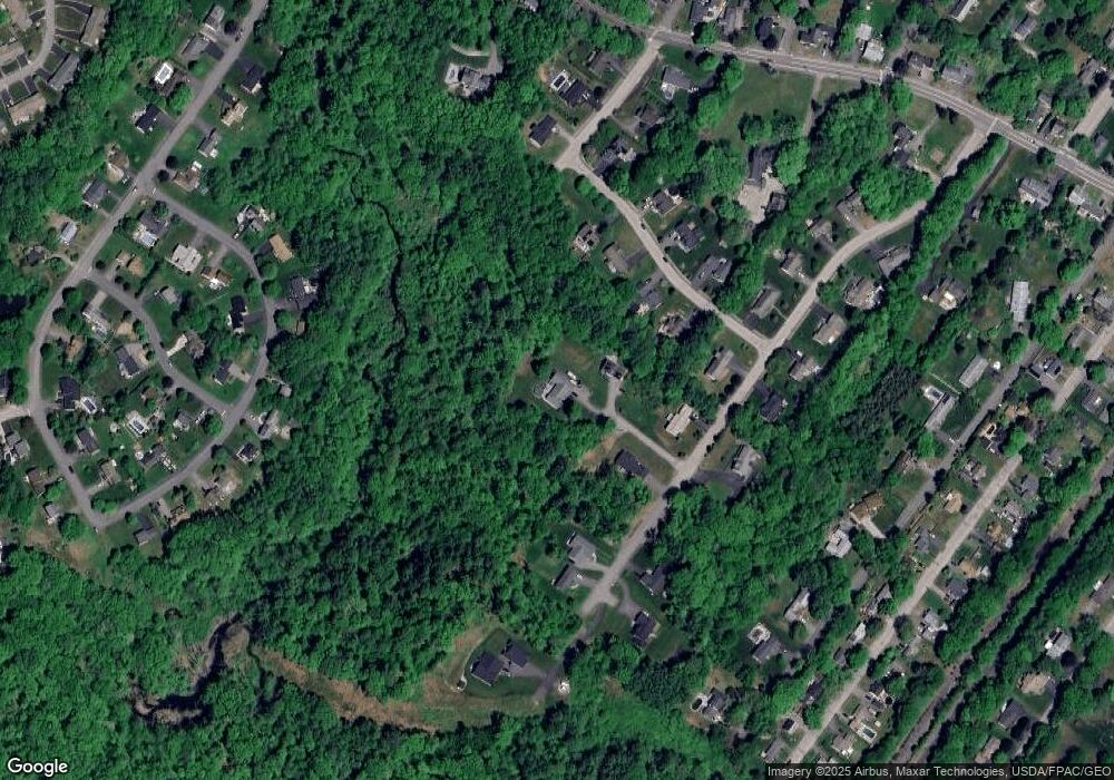
Map
Nearby Homes