Estimated Value: $494,909 - $569,000
3
Beds
2
Baths
2,207
Sq Ft
$240/Sq Ft
Est. Value
About This Home
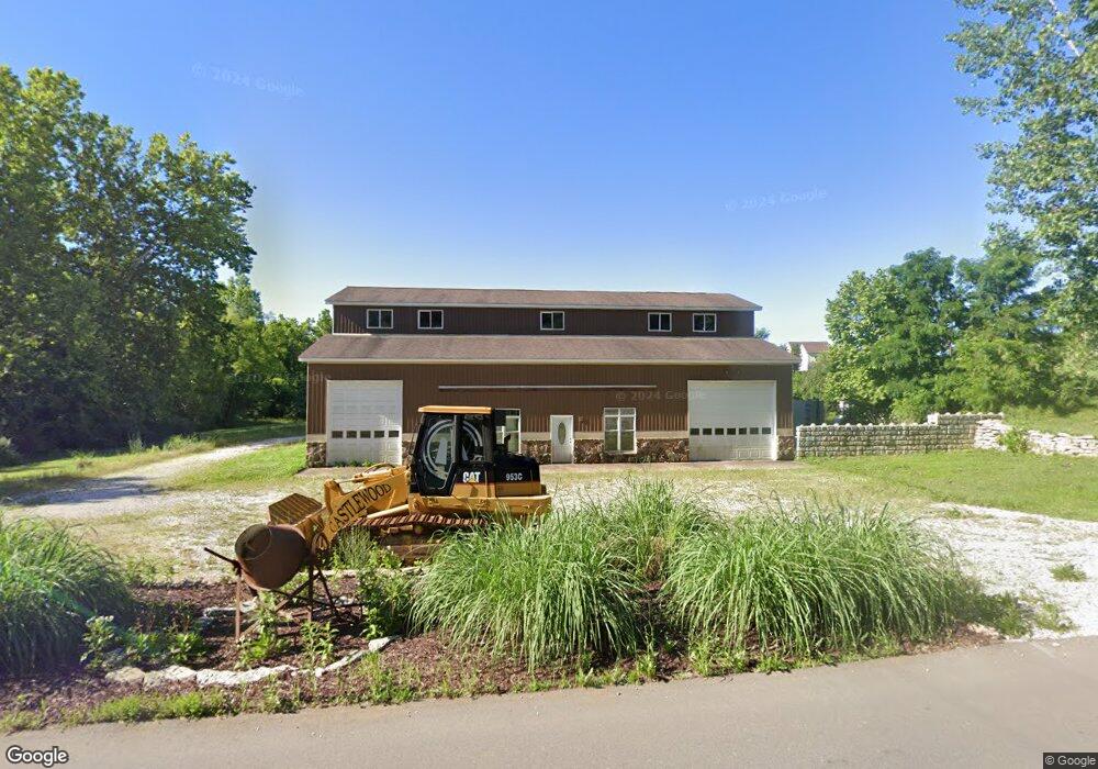
This home is located at 2 Kniess Ct, Troy, MO 63379 and is currently estimated at $528,977, approximately $239 per square foot. 2 Kniess Ct is a home located in Lincoln County with nearby schools including Claude Brown Elementary School, Troy South Middle School, and Troy Buchanan High School.
Ownership History
Date
Name
Owned For
Owner Type
Purchase Details
Closed on
Dec 11, 2013
Sold by
S & L Investment Properties Llc
Bought by
Duman James P and Duman Courtney M
Current Estimated Value
Home Financials for this Owner
Home Financials are based on the most recent Mortgage that was taken out on this home.
Original Mortgage
$286,171
Outstanding Balance
$216,316
Interest Rate
4.5%
Mortgage Type
FHA
Estimated Equity
$312,661
Create a Home Valuation Report for This Property
The Home Valuation Report is an in-depth analysis detailing your home's value as well as a comparison with similar homes in the area
Home Values in the Area
Average Home Value in this Area
Purchase History
| Date | Buyer | Sale Price | Title Company |
|---|---|---|---|
| Duman James P | -- | Freedom Title Llc |
Source: Public Records
Mortgage History
| Date | Status | Borrower | Loan Amount |
|---|---|---|---|
| Open | Duman James P | $286,171 |
Source: Public Records
Tax History Compared to Growth
Tax History
| Year | Tax Paid | Tax Assessment Tax Assessment Total Assessment is a certain percentage of the fair market value that is determined by local assessors to be the total taxable value of land and additions on the property. | Land | Improvement |
|---|---|---|---|---|
| 2025 | $4,084 | $68,710 | $5,419 | $63,291 |
| 2024 | $4,084 | $64,277 | $5,419 | $58,858 |
| 2023 | $4,064 | $64,277 | $5,419 | $58,858 |
| 2022 | $3,790 | $60,312 | $5,419 | $54,893 |
| 2021 | $3,809 | $317,430 | $0 | $0 |
| 2020 | $3,358 | $277,950 | $0 | $0 |
| 2019 | $3,362 | $277,950 | $0 | $0 |
| 2018 | $3,340 | $53,309 | $0 | $0 |
| 2017 | $3,350 | $53,309 | $0 | $0 |
| 2016 | $2,721 | $42,572 | $0 | $0 |
| 2015 | $2,728 | $42,572 | $0 | $0 |
| 2014 | $2,759 | $42,963 | $0 | $0 |
| 2013 | -- | $42,963 | $0 | $0 |
Source: Public Records
Map
Nearby Homes
- 245 Auburn Ridge Dr
- 530 Hickory Knoll Dr
- 9 Buelah Dr
- 291 Auburn Ridge Dr
- 442 Shady Trail Dr
- 430 Shady Trail Dr
- 431 Shady Trail Dr
- 6340 Copperhead Ln
- 131 Summerhaven Ln
- 310 Rockport Dr
- 300 Glen Forest Dr
- 401 Glen Forest Dr
- 630 Glen Eagle Dr
- 434 Cool Springs Ln
- 4 Alpine Dr
- 144 Jabin Farm Rd
- 0 Staghorn Unit MIS25064759
- 498 Staghorn Ln
- 1124 Jade Dr
- 4 Gregory Michael Ln
- 1 Kniess Ct
- 6333 Gibison Rd
- 6309 Gibison Rd
- 201 Auburn Ridge Dr
- 30 Serenity Ln
- 212 Auburn Ridge Dr
- 205 Auburn Ridge Dr
- 6 Kniess Ct
- 6345 Gibison (Lot #14) Rd
- 216 Auburn Ridge Dr
- 0 Kniess Ct
- 100 Wildflower Ln
- 213 Auburn Ridge Dr
- 5 Kniess Ct
- 219 Auburn Ridge Dr
- 116 Wildflower Ln
- 116 Wildflower Ln
- 224 Auburn Ridge Dr
- 104 Wildflower Ln
- 108 Wildflower Ln