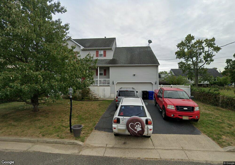
2 Lanark Ave Port Monmouth, NJ 07758
Estimated Value: $623,000 - $648,792
4
Beds
3
Baths
1,852
Sq Ft
$345/Sq Ft
Est. Value
About This Home
This home is located at 2 Lanark Ave, Port Monmouth, NJ 07758 and is currently estimated at $639,448, approximately $345 per square foot. 2 Lanark Ave is a home located in Monmouth County with nearby schools including Port Monmouth Elementary School, Thorne Middle School, and Middletown High School North.
Ownership History
Date
Name
Owned For
Owner Type
Purchase Details
Closed on
Dec 21, 2000
Sold by
Taylor William
Bought by
Syrdale Todd and Syrdale Zora
Current Estimated Value
Home Financials for this Owner
Home Financials are based on the most recent Mortgage that was taken out on this home.
Original Mortgage
$129,900
Outstanding Balance
$47,869
Interest Rate
7.7%
Estimated Equity
$591,579
Create a Home Valuation Report for This Property
The Home Valuation Report is an in-depth analysis detailing your home's value as well as a comparison with similar homes in the area
Home Values in the Area
Average Home Value in this Area
Purchase History
| Date | Buyer | Sale Price | Title Company |
|---|---|---|---|
| Syrdale Todd | $219,900 | -- |
Source: Public Records
Mortgage History
| Date | Status | Borrower | Loan Amount |
|---|---|---|---|
| Open | Syrdale Todd | $129,900 |
Source: Public Records
Tax History Compared to Growth
Tax History
| Year | Tax Paid | Tax Assessment Tax Assessment Total Assessment is a certain percentage of the fair market value that is determined by local assessors to be the total taxable value of land and additions on the property. | Land | Improvement |
|---|---|---|---|---|
| 2025 | $8,232 | $584,400 | $283,100 | $301,300 |
| 2024 | $8,992 | $500,400 | $204,700 | $295,700 |
| 2023 | $8,992 | $517,400 | $225,000 | $292,400 |
| 2022 | $8,072 | $443,400 | $165,000 | $278,400 |
| 2021 | $8,072 | $388,100 | $137,500 | $250,600 |
| 2020 | $7,374 | $344,900 | $100,000 | $244,900 |
| 2019 | $7,316 | $346,400 | $100,000 | $246,400 |
| 2018 | $7,084 | $326,900 | $92,000 | $234,900 |
| 2017 | $7,178 | $327,900 | $97,500 | $230,400 |
| 2016 | $7,077 | $332,100 | $97,500 | $234,600 |
| 2015 | $7,049 | $319,400 | $97,500 | $221,900 |
| 2014 | $7,685 | $339,600 | $127,500 | $212,100 |
Source: Public Records
Map
Nearby Homes
- 19 Walada Ave
- 78 Wilson Ave
- 2 Lydia Place
- 637 Bray Ave
- 41 Brainard Ave
- 210 Main St
- 36 Main St
- 147 Church St
- 11 Brainard Ave
- 0 S End Ave Unit 22420779
- 0 Clinton St Unit 22238196
- 0 Bray Ave Unit 22420777
- 230 Main St
- 0 Delaware Ave Unit 22526302
- 79 Compton St Unit A & B
- 92 Compton St
- 602 Park Ave Unit 7C
- 29 Carter Ave
- 170 Bray Ave
- 32 Dakota Ave