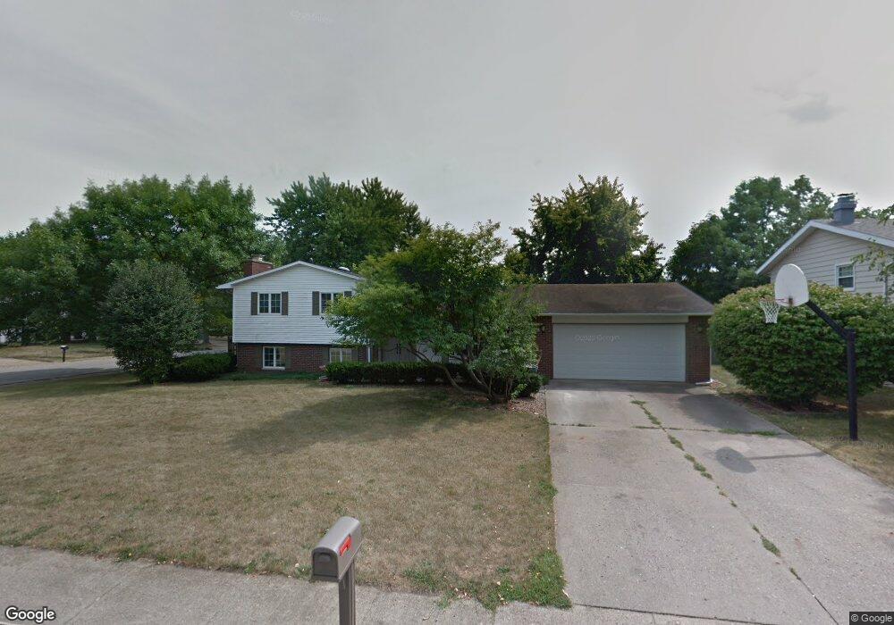
2 Laurel Ct Clinton, IL 61727
Estimated Value: $179,000 - $244,000
4
Beds
4
Baths
2,238
Sq Ft
$93/Sq Ft
Est. Value
About This Home
This home is located at 2 Laurel Ct, Clinton, IL 61727 and is currently estimated at $207,676, approximately $92 per square foot. 2 Laurel Ct is a home located in De Witt County with nearby schools including Clinton High School and Clinton Christian Academy.
Ownership History
Date
Name
Owned For
Owner Type
Purchase Details
Closed on
Jun 7, 2013
Sold by
Secretary Of Housing And Yrban Developme
Bought by
Callahan Megan and Callahan Landan
Current Estimated Value
Home Financials for this Owner
Home Financials are based on the most recent Mortgage that was taken out on this home.
Original Mortgage
$121,754
Outstanding Balance
$85,677
Interest Rate
3.25%
Mortgage Type
FHA
Estimated Equity
$121,999
Purchase Details
Closed on
Oct 24, 2012
Sold by
The Judicial Sales Corp
Bought by
The Secretary Of Housing And Urban Devel
Create a Home Valuation Report for This Property
The Home Valuation Report is an in-depth analysis detailing your home's value as well as a comparison with similar homes in the area
Home Values in the Area
Average Home Value in this Area
Purchase History
| Date | Buyer | Sale Price | Title Company |
|---|---|---|---|
| Callahan Megan | -- | -- | |
| The Secretary Of Housing And Urban Devel | -- | -- |
Source: Public Records
Mortgage History
| Date | Status | Borrower | Loan Amount |
|---|---|---|---|
| Open | Callahan Megan | $121,754 |
Source: Public Records
Tax History
| Year | Tax Paid | Tax Assessment Tax Assessment Total Assessment is a certain percentage of the fair market value that is determined by local assessors to be the total taxable value of land and additions on the property. | Land | Improvement |
|---|---|---|---|---|
| 2024 | $3,675 | $53,024 | $10,164 | $42,860 |
| 2023 | $3,397 | $48,292 | $9,257 | $39,035 |
| 2022 | $3,225 | $45,558 | $8,733 | $36,825 |
| 2021 | $3,144 | $44,231 | $8,479 | $35,752 |
| 2020 | $3,257 | $44,231 | $8,479 | $35,752 |
| 2019 | $3,277 | $44,231 | $8,479 | $35,752 |
| 2018 | $3,183 | $43,194 | $8,280 | $34,914 |
| 2017 | $3,123 | $42,024 | $7,962 | $34,062 |
| 2016 | $3,059 | $41,200 | $7,806 | $33,394 |
| 2015 | $2,958 | $41,200 | $7,806 | $33,394 |
| 2014 | $2,958 | $41,200 | $7,806 | $33,394 |
| 2013 | -- | $41,200 | $7,806 | $33,394 |
Source: Public Records
Map
Nearby Homes
- 66 Holiday Dr
- 3 Delmar Dr
- 901 Illinois 10
- 301 S Walnut St
- 0 Betty Ln Unit 10514801
- 219 S Jackson St
- 5563 Stone Rd
- 319 W Washington St
- 517 N Walnut St
- 701 S Cain St
- 509 W Clay St
- 608 N Mulberry St
- 613 N Center St
- 413 Moore St
- 504 S Isabella St
- 113 S Isabella St
- 1202 E Jefferson St
- 713 N George St
- 1210 E Main St
- 805 E Julia St
Your Personal Tour Guide
Ask me questions while you tour the home.