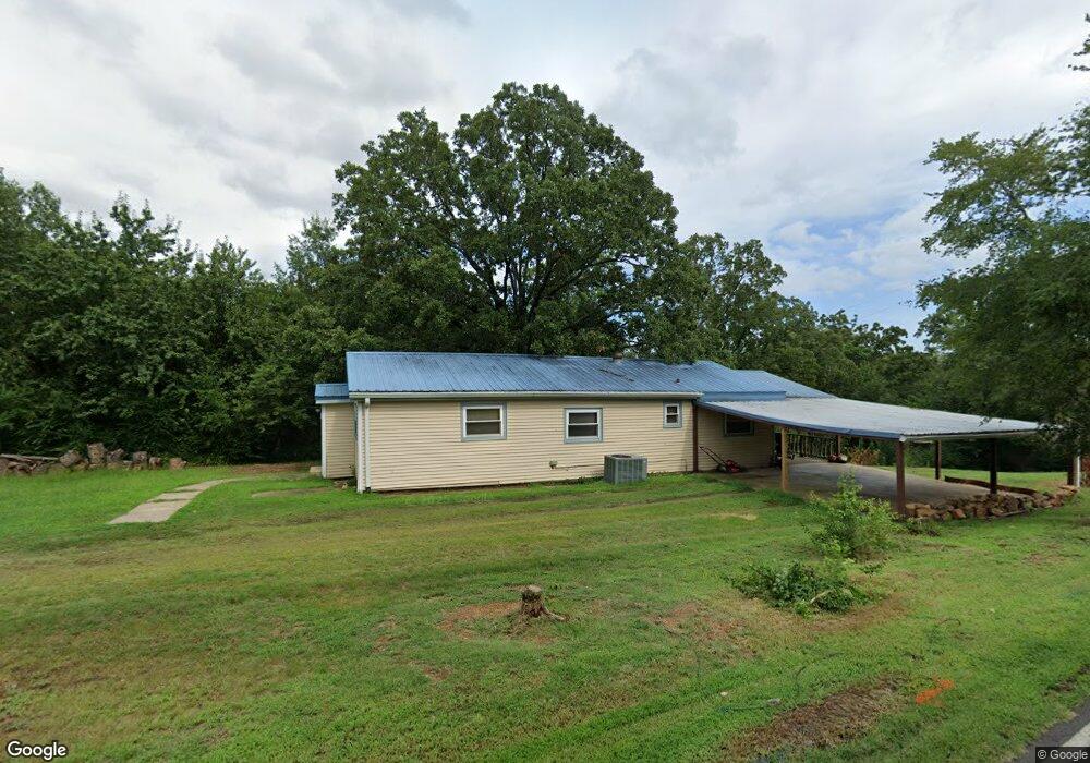
2 Lawrence Cir Conway, AR 72032
Estimated Value: $148,000 - $264,000
3
Beds
1
Bath
1,489
Sq Ft
$126/Sq Ft
Est. Value
About This Home
This home is located at 2 Lawrence Cir, Conway, AR 72032 and is currently estimated at $186,917, approximately $125 per square foot. 2 Lawrence Cir is a home located in Faulkner County with nearby schools including Bob Courtway Middle School, Preston & Florence Mattison Elementary School, and Conway Junior High School.
Ownership History
Date
Name
Owned For
Owner Type
Purchase Details
Closed on
Dec 16, 2011
Sold by
Sowder Michael J and Sowder Elizabeth A
Bought by
Mcdonald Tyler M
Current Estimated Value
Create a Home Valuation Report for This Property
The Home Valuation Report is an in-depth analysis detailing your home's value as well as a comparison with similar homes in the area
Home Values in the Area
Average Home Value in this Area
Purchase History
| Date | Buyer | Sale Price | Title Company |
|---|---|---|---|
| Mcdonald Tyler M | $88,000 | Lenders Title Company |
Source: Public Records
Mortgage History
| Date | Status | Borrower | Loan Amount |
|---|---|---|---|
| Closed | Mcdonald Tyler M | $0 |
Source: Public Records
Tax History
| Year | Tax Paid | Tax Assessment Tax Assessment Total Assessment is a certain percentage of the fair market value that is determined by local assessors to be the total taxable value of land and additions on the property. | Land | Improvement |
|---|---|---|---|---|
| 2025 | $800 | $26,360 | $1,200 | $25,160 |
| 2024 | $764 | $26,360 | $1,200 | $25,160 |
| 2023 | $728 | $19,080 | $1,200 | $17,880 |
| 2022 | $386 | $19,080 | $1,200 | $17,880 |
| 2021 | $324 | $19,080 | $1,200 | $17,880 |
| 2020 | $293 | $13,640 | $1,200 | $12,440 |
| 2019 | $293 | $13,640 | $1,200 | $12,440 |
| 2018 | $318 | $13,640 | $1,200 | $12,440 |
| 2017 | $318 | $13,640 | $1,200 | $12,440 |
| 2016 | $318 | $13,640 | $1,200 | $12,440 |
| 2015 | $723 | $15,580 | $1,200 | $14,380 |
| 2014 | $408 | $15,580 | $1,200 | $14,380 |
Source: Public Records
Map
Nearby Homes
- 104 Lawrence Landing Rd
- 4 Jessilea Rd
- 000 Bream Nest Rd
- TBD Priest Ln
- 15 Brown St
- 141 Jackson Ave
- 260 Sturgis Rd
- 63 Wilhelmina Cove Rd
- 39 Fox Ridge Ln
- 60 Wilhelmina Cove
- 6 Round Mountain Rd
- 5 Round Mountain Rd
- 237 Sturgis Rd
- 98 Waterfront Cove
- 256 Caney Creek Rd
- 30 Round Mountain Rd
- 495 Arkansas 365
- 41 E Ridge Rd
- 38 Crestview Rd
- 20 Canterberry Point Dr
- 1 Elliott Ln
- 2 Fuller Rd
- 1 Fuller Rd
- 2 West St
- 6 Lawrence Cir
- 6 Lawrence Cir
- 3 Elliott Ln
- 00 Dickerson Ln
- 124 Lawrence Landing Rd
- 00 Fuller Rd
- 0 Fuller Rd
- 0 Fuller Rd Unit 15017090
- 0 Fuller Rd Unit 17001505
- 0 Fuller Rd Unit 21031781
- 122 Lawrence Landing Rd
- 5 Fuller Rd
- 10 Lakeshore Ln
- 0 Lawrence Landing Rd
- 121 Lawrence Landing Rd
- 5 Elliott Ln
Your Personal Tour Guide
Ask me questions while you tour the home.