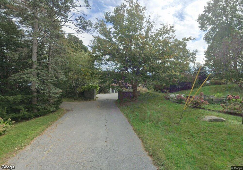
2 Ledge Rd South Portland, ME 04106
Loveitts Field NeighborhoodEstimated Value: $1,583,000 - $3,622,787
5
Beds
4
Baths
3,990
Sq Ft
$677/Sq Ft
Est. Value
About This Home
This home is located at 2 Ledge Rd, South Portland, ME 04106 and is currently estimated at $2,702,929, approximately $677 per square foot. 2 Ledge Rd is a home located in Cumberland County with nearby schools including Dora L. Small Elementary School, Daniel F. Mahoney Middle School, and South Portland High School.
Ownership History
Date
Name
Owned For
Owner Type
Purchase Details
Closed on
Jul 7, 2008
Sold by
Pompea Charles E and Pompea Tamera J
Bought by
Schroeder Ronald H and Clarke Mary P
Current Estimated Value
Home Financials for this Owner
Home Financials are based on the most recent Mortgage that was taken out on this home.
Original Mortgage
$2,170,000
Outstanding Balance
$1,395,665
Interest Rate
6.01%
Mortgage Type
Purchase Money Mortgage
Estimated Equity
$1,307,264
Create a Home Valuation Report for This Property
The Home Valuation Report is an in-depth analysis detailing your home's value as well as a comparison with similar homes in the area
Home Values in the Area
Average Home Value in this Area
Purchase History
| Date | Buyer | Sale Price | Title Company |
|---|---|---|---|
| Schroeder Ronald H | -- | -- |
Source: Public Records
Mortgage History
| Date | Status | Borrower | Loan Amount |
|---|---|---|---|
| Open | Schroeder Ronald H | $2,170,000 |
Source: Public Records
Tax History Compared to Growth
Tax History
| Year | Tax Paid | Tax Assessment Tax Assessment Total Assessment is a certain percentage of the fair market value that is determined by local assessors to be the total taxable value of land and additions on the property. | Land | Improvement |
|---|---|---|---|---|
| 2024 | $34,335 | $2,601,100 | $1,599,000 | $1,002,100 |
| 2023 | $33,386 | $2,361,100 | $1,519,800 | $841,300 |
| 2022 | $30,532 | $1,962,200 | $1,216,000 | $746,200 |
| 2021 | $28,739 | $1,955,000 | $1,216,000 | $739,000 |
| 2020 | $1,382 | $1,681,900 | $1,254,500 | $427,400 |
| 2019 | $3,803 | $1,681,900 | $1,254,500 | $427,400 |
| 2018 | $31,470 | $1,701,100 | $1,254,500 | $446,600 |
| 2017 | $30,620 | $1,701,100 | $1,254,500 | $446,600 |
| 2016 | $1,372 | $1,701,100 | $1,254,500 | $446,600 |
| 2015 | $29,599 | $1,701,100 | $1,254,500 | $446,600 |
| 2014 | $29,089 | $1,701,100 | $1,254,500 | $446,600 |
| 2013 | -- | $1,701,100 | $1,254,500 | $446,600 |
Source: Public Records
Map
Nearby Homes
- 1 Channel Rd
- 32 Ship Channel Rd
- 63 Cloyster Rd
- 2 Drew Rd
- 7 Mountain View Rd
- 920 Shore Rd
- 59 Wood Rd
- 44 Myrtle Ave
- 70 Vincent St
- 12 Abaco Dr
- 115 Summit Terrace Unit 6
- 115 Summit Terrace Unit 5
- 115 Summit Terrace Unit 4
- 50 Surfsite Rd
- 553 Sawyer St
- 310 Pine St
- 294 Pine St
- 341 Pine St Unit 301
- 5 Virginia Ave
- 16 Kincaid St
- 405 Channel Rd
- 209 Channel Rd
- 407 Channel Rd Unit 407
- 207 Channel Rd
- 306 Channel Rd Unit 306
- 1 Ledge Rd
- 12 Ledge Rd
- 11 Ledge Rd
- 1 Ship Channel Rd
- 7 Ship Channel Rd
- 19 Channel Rd
- 15 Ship Channel Rd
- 10 Channel Rd
- 21 Ship Channel Rd
- 52 Cloyster Rd
- 2 Ship Channel Rd
- 10 Ship Channel Rd
- 16 Channel Rd
- 48 Cloyster Rd
- 22 Channel Rd