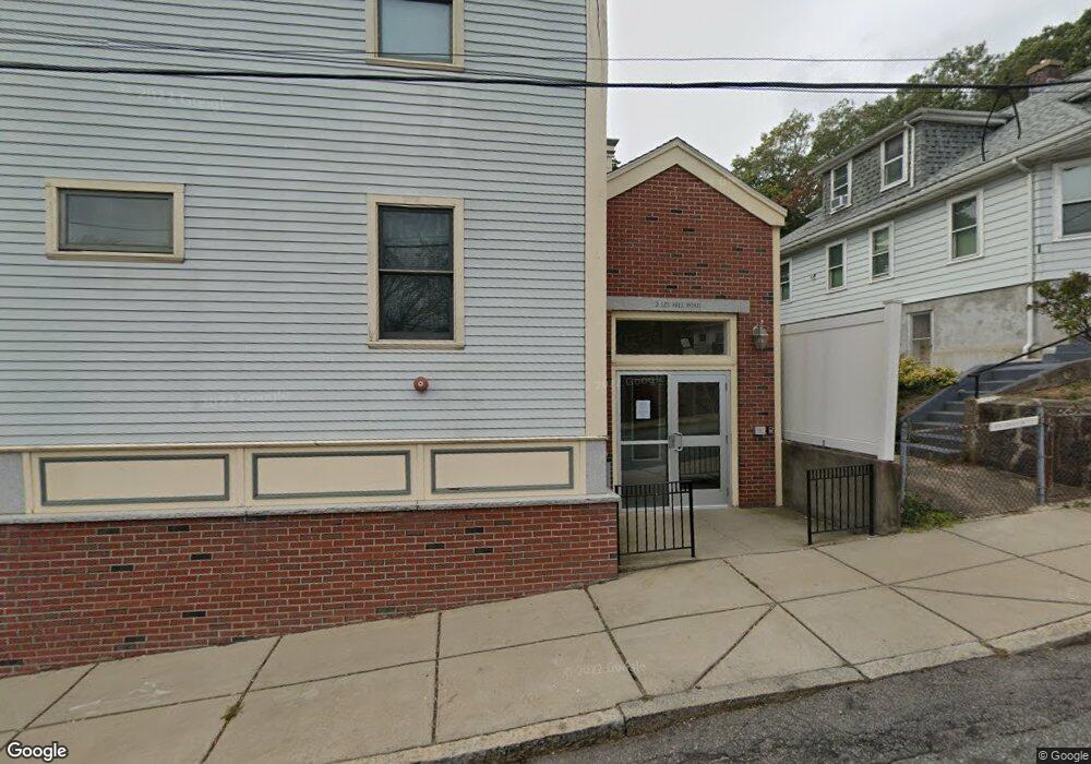
2 Lee Hill Rd Unit 11 Roslindale, MA 02131
Roslindale NeighborhoodEstimated Value: $343,000 - $522,000
1
Bed
1
Bath
605
Sq Ft
$651/Sq Ft
Est. Value
About This Home
This home is located at 2 Lee Hill Rd Unit 11, Roslindale, MA 02131 and is currently estimated at $393,818, approximately $650 per square foot. 2 Lee Hill Rd Unit 11 is a home located in Suffolk County with nearby schools including Bridge Boston Charter School, Boston Preparatory Charter Public School, and Berea Sda Academy.
Ownership History
Date
Name
Owned For
Owner Type
Purchase Details
Closed on
Jun 4, 2018
Sold by
Barnett Glenn S and Barnett Dianna
Bought by
Village Realty Llc
Current Estimated Value
Purchase Details
Closed on
Jan 31, 2005
Sold by
Roslindale Commons Llc
Bought by
Barnett Glenn S
Home Financials for this Owner
Home Financials are based on the most recent Mortgage that was taken out on this home.
Original Mortgage
$256,001
Interest Rate
5.67%
Mortgage Type
Purchase Money Mortgage
Create a Home Valuation Report for This Property
The Home Valuation Report is an in-depth analysis detailing your home's value as well as a comparison with similar homes in the area
Home Values in the Area
Average Home Value in this Area
Purchase History
| Date | Buyer | Sale Price | Title Company |
|---|---|---|---|
| Village Realty Llc | $270,000 | -- | |
| Barnett Glenn S | $261,500 | -- |
Source: Public Records
Mortgage History
| Date | Status | Borrower | Loan Amount |
|---|---|---|---|
| Previous Owner | Barnett Glenn S | $256,001 |
Source: Public Records
Tax History
| Year | Tax Paid | Tax Assessment Tax Assessment Total Assessment is a certain percentage of the fair market value that is determined by local assessors to be the total taxable value of land and additions on the property. | Land | Improvement |
|---|---|---|---|---|
| 2025 | $3,504 | $302,600 | $0 | $302,600 |
| 2024 | $3,389 | $310,900 | $0 | $310,900 |
| 2023 | $3,272 | $304,700 | $0 | $304,700 |
| 2022 | $4,019 | $369,400 | $0 | $369,400 |
| 2021 | $3,865 | $362,200 | $0 | $362,200 |
| 2020 | $3,125 | $295,900 | $0 | $295,900 |
| 2019 | $3,301 | $313,200 | $0 | $313,200 |
| 2018 | $2,962 | $282,600 | $0 | $282,600 |
| 2017 | $2,849 | $269,000 | $0 | $269,000 |
| 2016 | $2,715 | $246,800 | $0 | $246,800 |
| 2015 | $2,607 | $215,300 | $0 | $215,300 |
| 2014 | $2,500 | $198,700 | $0 | $198,700 |
Source: Public Records
Map
Nearby Homes
- 626 South St
- 134 Sycamore St
- 132 Sycamore St
- 7 Basto Terrace
- 61 Fawndale Rd
- 11 S Fairview St Unit 2R
- 15 S Fairview St Unit 3
- 18 Robert St Unit 4
- 18 Robert St Unit 14
- 46 Belgrade Ave Unit 2
- 19 Delford St
- 375 Hyde Park Ave Unit 3
- 6 Dellmore Rd Unit 2
- 23 Rowe St Unit 23 Rowe
- 348-350 Hyde Park Ave Unit 2
- 167 Poplar St Unit 1
- 103 Belgrade Ave Unit 2
- 2 Weld Hill St Unit PH2
- 472 Hyde Park Ave Unit 472
- 6 Hayes Rd Unit 25
- 2 Lee Hill Rd Unit 12
- 2 Lee Hill Rd Unit 10
- 2 Lee Hill Rd Unit 9
- 2 Lee Hill Rd Unit 8
- 2 Lee Hill Rd Unit 7
- 2 Lee Hill Rd Unit 6
- 2 Lee Hill Rd Unit 5
- 2 Lee Hill Rd Unit 4
- 2 Lee Hill Rd Unit 3
- 2 Lee Hill Rd
- 2 Lee Hill Rd Unit 1
- 2 Lee Hill Rd Unit 2
- 4159 Washington St
- 4155 Washington St Unit 4155
- 8 Lee Hill Rd
- 8 Lee Hill Rd Unit 1
- 7 Lee Hill Rd
- 16 Lee Hill Rd
- 4140 Washington St
- 11 Lee Hill Rd
Your Personal Tour Guide
Ask me questions while you tour the home.