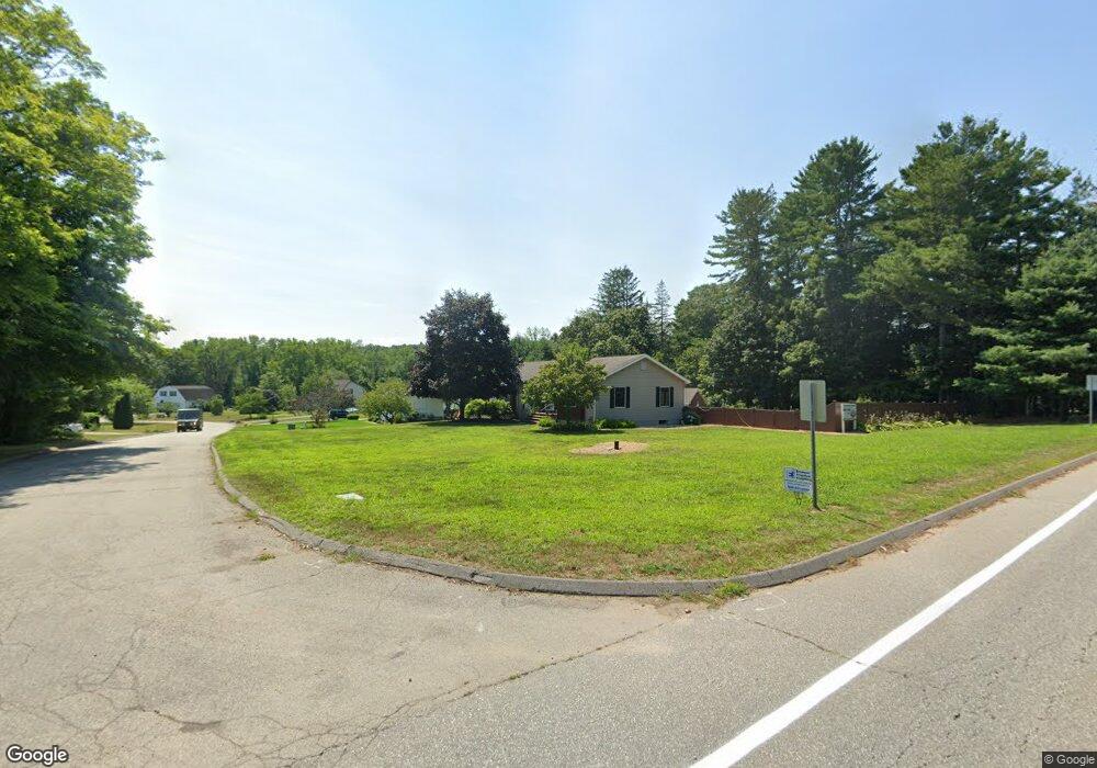
2 Leo Cir Quinebaug, CT 06262
Estimated Value: $370,000 - $523,000
3
Beds
2
Baths
1,532
Sq Ft
$287/Sq Ft
Est. Value
About This Home
This home is located at 2 Leo Cir, Quinebaug, CT 06262 and is currently estimated at $440,028, approximately $287 per square foot. 2 Leo Cir is a home located in Windham County with nearby schools including Mary R. Fisher Elementary School, Thompson Middle School, and Tourtellotte Memorial High School.
Ownership History
Date
Name
Owned For
Owner Type
Purchase Details
Closed on
Oct 21, 2021
Sold by
Dillon Christopher B
Bought by
Dillon Christopher B and Robillard Brenda L
Current Estimated Value
Home Financials for this Owner
Home Financials are based on the most recent Mortgage that was taken out on this home.
Original Mortgage
$301,499
Outstanding Balance
$228,796
Interest Rate
2.15%
Mortgage Type
New Conventional
Estimated Equity
$211,232
Purchase Details
Closed on
Aug 2, 1993
Sold by
Leo Ralph
Bought by
Dillon Christopher B and Dillon Mary
Create a Home Valuation Report for This Property
The Home Valuation Report is an in-depth analysis detailing your home's value as well as a comparison with similar homes in the area
Home Values in the Area
Average Home Value in this Area
Purchase History
| Date | Buyer | Sale Price | Title Company |
|---|---|---|---|
| Dillon Christopher B | -- | None Available | |
| Dillon Christopher B | -- | None Available | |
| Dillon Christopher B | -- | None Available | |
| Dillon Christopher B | $129,000 | -- | |
| Dillon Christopher B | $129,000 | -- |
Source: Public Records
Mortgage History
| Date | Status | Borrower | Loan Amount |
|---|---|---|---|
| Open | Dillon Christopher B | $301,499 | |
| Closed | Dillon Christopher B | $301,499 | |
| Previous Owner | Dillon Christopher B | $32,000 | |
| Previous Owner | Dillon Christopher B | $57,500 | |
| Previous Owner | Dillon Christopher B | $247,000 |
Source: Public Records
Tax History
| Year | Tax Paid | Tax Assessment Tax Assessment Total Assessment is a certain percentage of the fair market value that is determined by local assessors to be the total taxable value of land and additions on the property. | Land | Improvement |
|---|---|---|---|---|
| 2025 | $5,297 | $278,800 | $49,400 | $229,400 |
| 2024 | $4,444 | $158,100 | $34,400 | $123,700 |
| 2023 | $4,111 | $158,100 | $34,400 | $123,700 |
| 2022 | $3,956 | $158,100 | $34,400 | $123,700 |
| 2021 | $3,945 | $158,100 | $34,400 | $123,700 |
| 2020 | $3,831 | $158,100 | $34,400 | $123,700 |
| 2019 | $3,813 | $137,400 | $36,100 | $101,300 |
| 2018 | $3,813 | $137,400 | $36,100 | $101,300 |
| 2017 | $3,581 | $137,400 | $36,100 | $101,300 |
| 2016 | $3,581 | $137,400 | $36,100 | $101,300 |
| 2015 | $3,408 | $137,400 | $36,100 | $101,300 |
| 2014 | $3,350 | $146,500 | $38,000 | $108,500 |
Source: Public Records
Map
Nearby Homes
- 25 Quinebaug Rd
- 81 Parkway Dr
- 24 Railroad Ave
- 126 Old Southbridge Rd
- 10 Daves Way
- 128 Old Southbridge Rd
- 108 Southbridge Rd
- 470 Fabyan Rd
- 468 Fabyan Rd
- 73 Dudley Hill Rd
- 425 Route 197
- 95 Ramshorn Rd
- 86 Ramshorn Rd
- 249 Dudley Southbridge Rd
- 63 May Brook
- 1669 Route 169
- 0 Putnam Rd
- 1346 Route 169
- 1023 N Woodstock Rd
- 0 Carpenter Rd
Your Personal Tour Guide
Ask me questions while you tour the home.