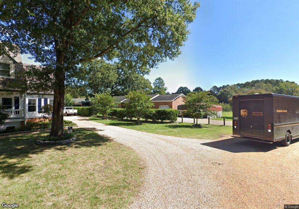
2 Letts Point Landing Poquoson, VA 23662
Poquoson Shores NeighborhoodEstimated Value: $538,000 - $835,000
3
Beds
2
Baths
1,941
Sq Ft
$328/Sq Ft
Est. Value
About This Home
This home is located at 2 Letts Point Landing, Poquoson, VA 23662 and is currently estimated at $635,953, approximately $327 per square foot. 2 Letts Point Landing is a home located in Poquoson City with nearby schools including Summit Christian Academy - Upper School.
Ownership History
Date
Name
Owned For
Owner Type
Purchase Details
Closed on
Jul 27, 2000
Sold by
Schanz Mildred I
Bought by
Peschio Michael J
Current Estimated Value
Home Financials for this Owner
Home Financials are based on the most recent Mortgage that was taken out on this home.
Original Mortgage
$216,000
Outstanding Balance
$78,098
Interest Rate
8.18%
Estimated Equity
$557,855
Create a Home Valuation Report for This Property
The Home Valuation Report is an in-depth analysis detailing your home's value as well as a comparison with similar homes in the area
Home Values in the Area
Average Home Value in this Area
Purchase History
| Date | Buyer | Sale Price | Title Company |
|---|---|---|---|
| Peschio Michael J | $270,000 | -- |
Source: Public Records
Mortgage History
| Date | Status | Borrower | Loan Amount |
|---|---|---|---|
| Open | Peschio Michael J | $216,000 |
Source: Public Records
Tax History Compared to Growth
Tax History
| Year | Tax Paid | Tax Assessment Tax Assessment Total Assessment is a certain percentage of the fair market value that is determined by local assessors to be the total taxable value of land and additions on the property. | Land | Improvement |
|---|---|---|---|---|
| 2024 | $5,641 | $494,800 | $232,200 | $262,600 |
| 2023 | $5,492 | $494,800 | $232,200 | $262,600 |
| 2022 | $5,024 | $444,600 | $232,200 | $212,400 |
| 2021 | $5,024 | $444,600 | $232,200 | $212,400 |
| 2020 | $0 | $419,700 | $232,200 | $187,500 |
| 2019 | -- | $419,700 | $232,200 | $187,500 |
| 2018 | -- | $413,800 | $232,200 | $181,600 |
| 2017 | -- | $407,400 | $232,200 | $175,200 |
| 2016 | -- | $407,400 | $232,200 | $175,200 |
| 2015 | -- | $403,800 | $232,200 | $171,600 |
| 2013 | -- | $403,800 | $232,200 | $171,600 |
Source: Public Records
Map
Nearby Homes
- 28 Pasture Rd
- 41 W Sandy Point Rd
- 8 Wornom Farm Rd
- 15+AC Browns Neck Rd
- 11 Valmoore Dr
- 29 River Rd
- 35 River Rd
- 1 Phillips Rd
- 11 Dorothy Dr
- 102 Blue Crab Dr
- 40 Valmoore Dr
- 11 Bull Run
- 105 Rens Rd Unit 30
- 105 Rens Rd Unit 2
- 105 Rens Rd Unit 74
- 105 Rens Rd Unit Lot 48
- 240 Hunts Neck Rd
- 108 Rens Rd
- 8 Harbour View Dr
- 6 Lessies Dr
- 4 Letts Point Landing
- 42 Pasture Rd
- 42 Pasture Rd
- 42 Pasture Rd Unit C
- 42 Pasture Rd Unit A
- 42 Pasture Rd
- 6 Letts Point Landing
- 14 Bennett Farm Rd
- 12 Bennett Farm Rd
- 9 Bennett Farm Rd
- 11 Ebb Tide Landing
- 42B Pasture Rd
- 10 Lafayette Rd
- 10 Bennett Farm Rd
- 14 Ebb Tide Landing
- 42E Pasture Rd
- 9 Ebb Tide Landing
- 12 Lafayette Rd
- 7 Bennett Farm Rd
- 86 Hunts Neck Rd