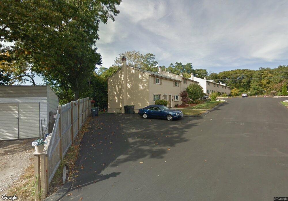
2 Lewis Farm Rd Dedham, MA 02026
East Dedham NeighborhoodEstimated Value: $384,000 - $407,000
2
Beds
1
Bath
719
Sq Ft
$548/Sq Ft
Est. Value
About This Home
This home is located at 2 Lewis Farm Rd, Dedham, MA 02026 and is currently estimated at $393,675, approximately $547 per square foot. 2 Lewis Farm Rd is a home located in Norfolk County with nearby schools including Avery, Dedham Middle School, and Dedham High School.
Ownership History
Date
Name
Owned For
Owner Type
Purchase Details
Closed on
Jan 26, 2007
Sold by
Belyea Kathryn E
Bought by
Pellitier Patricia A and Pelletier Patricia A
Current Estimated Value
Home Financials for this Owner
Home Financials are based on the most recent Mortgage that was taken out on this home.
Original Mortgage
$192,000
Outstanding Balance
$114,936
Interest Rate
6.15%
Mortgage Type
Purchase Money Mortgage
Estimated Equity
$278,739
Purchase Details
Closed on
Aug 30, 1993
Sold by
Agro Jessica K
Bought by
Belyea Kathryn E
Create a Home Valuation Report for This Property
The Home Valuation Report is an in-depth analysis detailing your home's value as well as a comparison with similar homes in the area
Home Values in the Area
Average Home Value in this Area
Purchase History
| Date | Buyer | Sale Price | Title Company |
|---|---|---|---|
| Pellitier Patricia A | $192,000 | -- | |
| Belyea Kathryn E | $58,500 | -- |
Source: Public Records
Mortgage History
| Date | Status | Borrower | Loan Amount |
|---|---|---|---|
| Open | Pellitier Patricia A | $192,000 |
Source: Public Records
Tax History Compared to Growth
Tax History
| Year | Tax Paid | Tax Assessment Tax Assessment Total Assessment is a certain percentage of the fair market value that is determined by local assessors to be the total taxable value of land and additions on the property. | Land | Improvement |
|---|---|---|---|---|
| 2025 | $4,611 | $365,400 | $0 | $365,400 |
| 2024 | $3,844 | $307,500 | $0 | $307,500 |
| 2023 | $3,495 | $272,200 | $0 | $272,200 |
| 2022 | $3,430 | $256,900 | $0 | $256,900 |
| 2021 | $3,433 | $251,100 | $0 | $251,100 |
| 2020 | $3,628 | $264,400 | $0 | $264,400 |
| 2019 | $3,470 | $245,200 | $0 | $245,200 |
| 2018 | $2,907 | $199,800 | $0 | $199,800 |
| 2017 | $2,503 | $169,600 | $0 | $169,600 |
| 2016 | $2,500 | $161,400 | $0 | $161,400 |
| 2015 | $2,474 | $155,900 | $0 | $155,900 |
| 2014 | $2,507 | $155,900 | $0 | $155,900 |
Source: Public Records
Map
Nearby Homes
- 10 Lewis Farm Rd
- 3 Lewis Farm Rd
- 38 Fleming St
- 16 N Stone Mill Dr Unit 1014
- 36 N Stone Mill Dr Unit 1224
- 7 S Stone Mill Dr Unit 403
- 3 S Stone Mill Dr Unit 221
- 19 Lewis Ln
- 1896 River St
- 1892 River St
- 1888 River St Unit front
- 1886-1888 River St
- 10 Fairview St
- 69 Berlin St
- 1816 River St
- 108 High St
- 98 Chesterfield St
- 000 Danny Rd
- 54 Como Rd
- 27 Edison Ave
- 6 Lewis Farm Rd
- 6 Lewis Farm Rd Unit 6
- 9 Lewis Farm Rd
- 8 Lewis Farm Rd
- 7 Lewis Farm Rd
- 5 Lewis Farm Rd
- 4 Lewis Farm Rd
- 20 Lewis Farm Rd
- 19 Lewis Farm Rd
- 18 Lewis Farm Rd
- 17 Lewis Farm Rd
- 16 Lewis Farm Rd
- 15 Lewis Farm Rd
- 14 Lewis Farm Rd
- 13 Lewis Farm Rd
- 12 Lewis Farm Rd
- 11 Lewis Farm Rd
- 9 Lewis Farm Rd Unit 9
- 4 Lewis Farm Rd
- 13 Lewis Farm Rd Unit 13