2 Liberty Dr Unit 2 Bensalem, PA 19020
Estimated Value: $411,000 - $485,000
2
Beds
3
Baths
1,600
Sq Ft
$277/Sq Ft
Est. Value
About This Home
This home is located at 2 Liberty Dr Unit 2, Bensalem, PA 19020 and is currently estimated at $443,226, approximately $277 per square foot. 2 Liberty Dr Unit 2 is a home located in Bucks County with nearby schools including Valley Elementary School, St. Ephrem School, and Bensalem Baptist School.
Ownership History
Date
Name
Owned For
Owner Type
Purchase Details
Closed on
Jan 14, 2011
Sold by
The Villas At Regents Glen L P
Bought by
Kearney Susan E
Current Estimated Value
Home Financials for this Owner
Home Financials are based on the most recent Mortgage that was taken out on this home.
Original Mortgage
$75,000
Outstanding Balance
$27,482
Interest Rate
4.83%
Mortgage Type
New Conventional
Estimated Equity
$415,744
Create a Home Valuation Report for This Property
The Home Valuation Report is an in-depth analysis detailing your home's value as well as a comparison with similar homes in the area
Home Values in the Area
Average Home Value in this Area
Purchase History
| Date | Buyer | Sale Price | Title Company |
|---|---|---|---|
| Kearney Susan E | $255,000 | None Available |
Source: Public Records
Mortgage History
| Date | Status | Borrower | Loan Amount |
|---|---|---|---|
| Open | Kearney Susan E | $75,000 |
Source: Public Records
Tax History Compared to Growth
Tax History
| Year | Tax Paid | Tax Assessment Tax Assessment Total Assessment is a certain percentage of the fair market value that is determined by local assessors to be the total taxable value of land and additions on the property. | Land | Improvement |
|---|---|---|---|---|
| 2025 | $5,979 | $27,390 | $4,320 | $23,070 |
| 2024 | $5,979 | $27,390 | $4,320 | $23,070 |
| 2023 | $5,810 | $27,390 | $4,320 | $23,070 |
| 2022 | $5,777 | $27,390 | $4,320 | $23,070 |
| 2021 | $5,777 | $27,390 | $4,320 | $23,070 |
| 2020 | $5,719 | $27,390 | $4,320 | $23,070 |
| 2019 | $5,591 | $27,390 | $4,320 | $23,070 |
| 2018 | $5,461 | $27,390 | $4,320 | $23,070 |
| 2017 | $5,427 | $27,390 | $4,320 | $23,070 |
| 2016 | $5,427 | $27,390 | $4,320 | $23,070 |
| 2015 | -- | $27,390 | $4,320 | $23,070 |
| 2014 | -- | $27,390 | $4,320 | $23,070 |
Source: Public Records
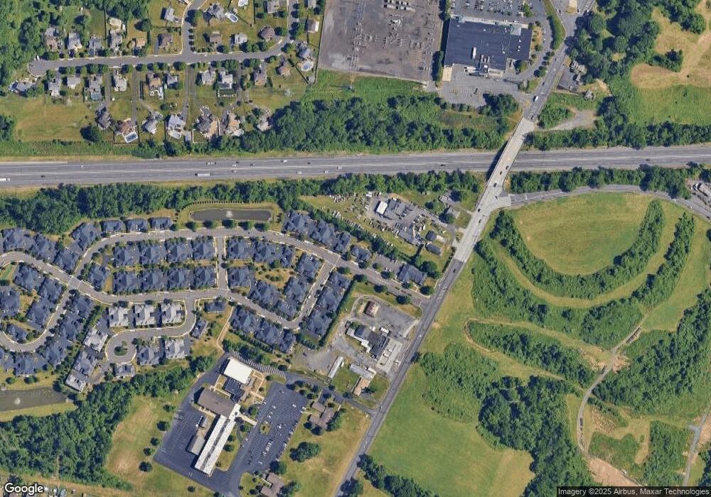
Map
Nearby Homes
- 5111 Euston Ct
- 120 Liberty Dr Unit 120
- 1734 Gibson Rd Unit 1
- 1852 Gibson Rd Unit 58
- 5057 Sayer Ct
- 1790 Gibson Rd Unit 69
- 2493 Barnsleigh Dr
- 1446 Gibson Rd Unit D50
- 1446 Gibson Rd Unit B4
- 1446 Gibson Rd
- 5813 Edge Ave
- 4525 Winding Brook Dr Unit 4525
- 5817 Cricket Ln
- 4122 Mechanicsville Rd
- 223 Saddlebrook Dr
- 225 Saddlebrook Dr
- 1440 Atterbury Way
- 4902 Oxford Ct
- 1838 Sheri Rd
- Lot 4 Edward Ct
- 1 Liberty Dr Unit 1
- 4 Liberty Dr Unit 4
- 3 Liberty Dr Unit 3
- 5 Liberty Dr Unit 5
- 6 Liberty Dr Unit 6
- 14 Freedom Ln Unit 14
- 13 Freedom Ln Unit 13
- 8 Liberty Dr Unit 8
- 7 Liberty Dr Unit 7
- 5526 Hulmeville Rd
- 35 Liberty Dr Unit 35
- 38 Freedom Ln Unit 38
- 36 Liberty Dr Unit 36
- 15 Freedom Ln Unit 15
- 10 Liberty Dr Unit 10
- 9 Liberty Dr Unit 9
- 37 Freedom Ln Unit 37
- 39 Freedom Ln Unit 39
- 17 Freedom Ln Unit 17
- 18 Freedom Ln Unit 18