2 Linwood Ln New Milford, CT 06776
Estimated Value: $564,000 - $663,000
3
Beds
3
Baths
1,802
Sq Ft
$340/Sq Ft
Est. Value
About This Home
This home is located at 2 Linwood Ln, New Milford, CT 06776 and is currently estimated at $612,148, approximately $339 per square foot. 2 Linwood Ln is a home located in Litchfield County with nearby schools including Sarah Noble Intermediate School, Hill And Plain Elementary School, and Schaghticoke Middle School.
Ownership History
Date
Name
Owned For
Owner Type
Purchase Details
Closed on
Mar 10, 2004
Sold by
Country Farm Bldg
Bought by
Constantinides Nicholas
Current Estimated Value
Home Financials for this Owner
Home Financials are based on the most recent Mortgage that was taken out on this home.
Original Mortgage
$284,000
Interest Rate
3.94%
Create a Home Valuation Report for This Property
The Home Valuation Report is an in-depth analysis detailing your home's value as well as a comparison with similar homes in the area
Home Values in the Area
Average Home Value in this Area
Purchase History
| Date | Buyer | Sale Price | Title Company |
|---|---|---|---|
| Constantinides Nicholas | $364,000 | -- |
Source: Public Records
Mortgage History
| Date | Status | Borrower | Loan Amount |
|---|---|---|---|
| Open | Constantinides Nicholas | $336,000 | |
| Closed | Constantinides Nicholas | $42,000 | |
| Closed | Constantinides Nicholas | $348,500 | |
| Closed | Constantinides Nicholas | $284,000 |
Source: Public Records
Tax History Compared to Growth
Tax History
| Year | Tax Paid | Tax Assessment Tax Assessment Total Assessment is a certain percentage of the fair market value that is determined by local assessors to be the total taxable value of land and additions on the property. | Land | Improvement |
|---|---|---|---|---|
| 2025 | $11,158 | $242,610 | $67,470 | $175,140 |
| 2024 | $7,222 | $242,610 | $67,470 | $175,140 |
| 2023 | $7,031 | $242,610 | $67,470 | $175,140 |
| 2022 | $6,878 | $242,610 | $67,470 | $175,140 |
| 2021 | $6,786 | $242,610 | $67,470 | $175,140 |
| 2020 | $7,003 | $244,160 | $74,830 | $169,330 |
| 2019 | $7,007 | $244,160 | $74,830 | $169,330 |
| 2018 | $6,878 | $244,160 | $74,830 | $169,330 |
| 2017 | $6,653 | $244,160 | $74,830 | $169,330 |
| 2016 | $6,536 | $244,160 | $74,830 | $169,330 |
| 2015 | $6,387 | $238,770 | $74,830 | $163,940 |
| 2014 | $6,280 | $238,770 | $74,830 | $163,940 |
Source: Public Records
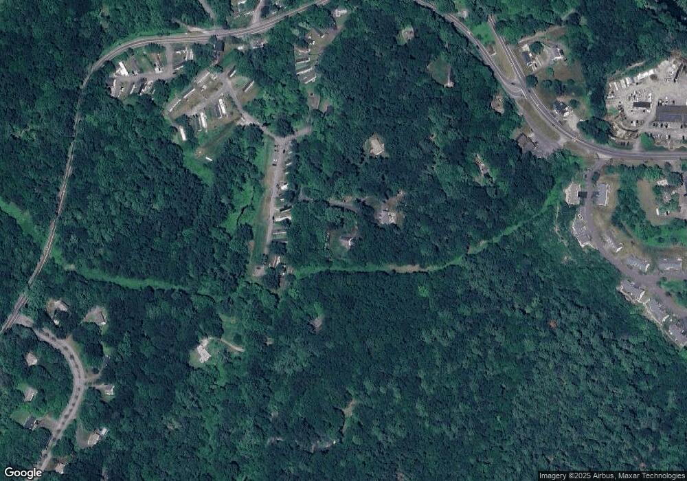
Map
Nearby Homes
- 0 Candlewood Mountain Rd Unit 24137997
- 0 Candlewood Mountain Rd Unit 24138000
- 0 Candlewood Mountain Rd Unit 24134055
- 12 Shadow Ln
- 9 Tallow Ln
- 0 Sherman Rd
- 2 Twin Oaks
- 42 Twin Oaks
- 211 Kent Rd
- 77 Squash Hollow Rd
- 0 Saw Mill Rd
- 2 Coburn Road W, She Coburn Rd W
- 6 Brinsmade Ln
- 11 Tall Oaks Dr Unit 11
- LOT1 Candlewood Lake Rd N
- 1 Tall Oaks Dr
- 45 Candlewood Lake Rd N
- 9 Riverview Ct
- 18 Bayberry Ln
- 12 Fox Run
- 0 Candlewood Mountain Rd Unit 99077613
- 19 Duncan Ln
- 4 Linwood Ln
- 15 Duncan Ln
- 25 Candlewood Mountain Rd
- 13 Duncan Ln
- 9 Duncan Ln
- 5 Duncan Ln
- 1 Linwood Ln
- 17 Candlewood Mountain Rd
- 335 Kent Rd
- 49 Candlewood Mountain Rd
- 48 Candlewood Mountain Rd
- 3 Eden Ln
- 14 Candlewood Mountain Rd
- 3 Sherman Rd
- 3 Alder Ln
- 337 Kent Rd Unit B
- 337 Kent Rd Unit A
- 4 Baltic Ln