2 Little Pine Way Mattapoisett, MA 02739
Estimated Value: $1,252,000 - $1,470,000
3
Beds
3
Baths
2,367
Sq Ft
$566/Sq Ft
Est. Value
About This Home
This home is located at 2 Little Pine Way, Mattapoisett, MA 02739 and is currently estimated at $1,339,013, approximately $565 per square foot. 2 Little Pine Way is a home with nearby schools including Center School, Old Hammondtown Elementary, and Old Rochester Regional High School.
Ownership History
Date
Name
Owned For
Owner Type
Purchase Details
Closed on
Mar 22, 2012
Sold by
Goulart Anthony J and Goulart Kathleen K
Bought by
Little Pine Private Rd and Little Goulart
Current Estimated Value
Purchase Details
Closed on
Jan 10, 2000
Sold by
Watkins Ralph C and Linderman Roxanne W
Bought by
Goulart Anthony J and Goulart Kathleen K
Create a Home Valuation Report for This Property
The Home Valuation Report is an in-depth analysis detailing your home's value as well as a comparison with similar homes in the area
Home Values in the Area
Average Home Value in this Area
Purchase History
| Date | Buyer | Sale Price | Title Company |
|---|---|---|---|
| Little Pine Private Rd | -- | -- | |
| Little Pine Private Rd | -- | -- | |
| 2 Little Pine Way Nt | -- | -- | |
| Goulart Anthony J | $157,500 | -- |
Source: Public Records
Tax History Compared to Growth
Tax History
| Year | Tax Paid | Tax Assessment Tax Assessment Total Assessment is a certain percentage of the fair market value that is determined by local assessors to be the total taxable value of land and additions on the property. | Land | Improvement |
|---|---|---|---|---|
| 2025 | $11,557 | $1,074,100 | $400,000 | $674,100 |
| 2024 | $11,366 | $1,081,400 | $400,000 | $681,400 |
| 2023 | $10,385 | $923,100 | $347,300 | $575,800 |
| 2022 | $9,619 | $775,700 | $290,200 | $485,500 |
| 2021 | $10,623 | $819,700 | $323,900 | $495,800 |
| 2020 | $10,432 | $773,300 | $309,000 | $464,300 |
| 2019 | $10,469 | $792,500 | $323,400 | $469,100 |
| 2018 | $10,032 | $770,500 | $323,900 | $446,600 |
| 2017 | $11,631 | $889,900 | $288,400 | $601,500 |
| 2016 | $10,893 | $825,200 | $267,100 | $558,100 |
| 2015 | $5,922 | $455,500 | $250,100 | $205,400 |
| 2014 | $3,217 | $252,900 | $252,900 | $0 |
Source: Public Records
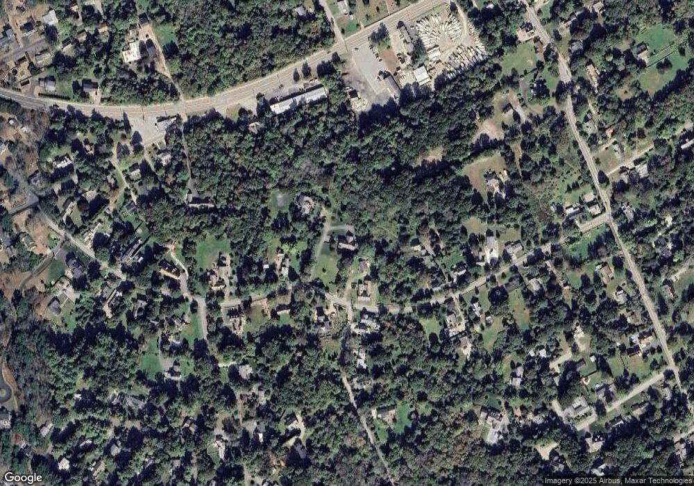
Map
Nearby Homes
- 3 Rock St
- 6 Ocean Breeze Ln
- 15 Ned's Point Rd
- 1 Angelica Ave
- 52 Prince Snow Cir
- 11 Captains Ln
- 8 Captains Ln
- 8 Channel St
- 0 (Lot D) Angelica Ave
- 35 North St
- 7 Aucoot Rd
- 12 Cannon St
- 7 Pearl St
- 31 Split Rock Ln
- 9 Hitching Post Rd
- 0 Harbor Acres Ln - Lot B
- 19 High Ridge Dr
- 11 Cove St
- 0 (Lot 2) Hollywoods Rd
- 13 Park Place
- 21 Pine Island Rd Unit 23
- 19 Pine Island Rd
- Lot 223, 0 Pine Island Rd
- 17 Pine Island Rd
- 22 Pine Island Rd
- 20 Pine Island Rd
- 0 Pine Island Rd L:
- 0 Pine Island Rd L:
- 24 Pine Island Rd
- 27R Pine Island Rd
- 27 Pine Island Rd
- 29 Pine Island Rd
- 29 Pine Island Rd Unit n/a
- 3 Pico Beach Rd
- 28 Pine Island Rd Unit SUMMER
- 28 Pine Island Rd
- 13 Pine Island Rd
- 31 Pine Island Rd
- 5 Pico Beach Rd
- 40 Marion Rd