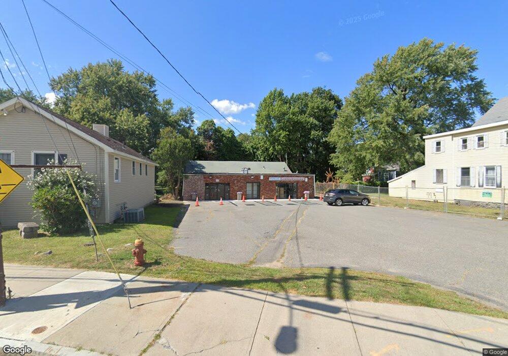
2 Lord Square Ipswich, MA 01938
Estimated Value: $951,134
Studio
--
Bath
1,200
Sq Ft
$793/Sq Ft
Est. Value
About This Home
This home is located at 2 Lord Square, Ipswich, MA 01938 and is currently estimated at $951,134, approximately $792 per square foot. 2 Lord Square is a home located in Essex County with nearby schools including Ipswich High School, North Shore Montessori School, and Clark School.
Ownership History
Date
Name
Owned For
Owner Type
Purchase Details
Closed on
Nov 24, 1999
Sold by
Kasseris Michael
Bought by
Force Rlty Llc
Current Estimated Value
Home Financials for this Owner
Home Financials are based on the most recent Mortgage that was taken out on this home.
Original Mortgage
$187,500
Outstanding Balance
$57,329
Interest Rate
7.77%
Mortgage Type
Commercial
Estimated Equity
$893,805
Create a Home Valuation Report for This Property
The Home Valuation Report is an in-depth analysis detailing your home's value as well as a comparison with similar homes in the area
Home Values in the Area
Average Home Value in this Area
Purchase History
| Date | Buyer | Sale Price | Title Company |
|---|---|---|---|
| Force Rlty Llc | $275,000 | -- |
Source: Public Records
Mortgage History
| Date | Status | Borrower | Loan Amount |
|---|---|---|---|
| Open | Force Rlty Llc | $187,500 | |
| Closed | Force Rlty Llc | $200,000 | |
| Previous Owner | Force Rlty Llc | $102,000 |
Source: Public Records
Tax History
| Year | Tax Paid | Tax Assessment Tax Assessment Total Assessment is a certain percentage of the fair market value that is determined by local assessors to be the total taxable value of land and additions on the property. | Land | Improvement |
|---|---|---|---|---|
| 2025 | $6,693 | $600,300 | $401,300 | $199,000 |
| 2024 | $6,761 | $594,100 | $400,600 | $193,500 |
| 2023 | $6,569 | $537,100 | $369,800 | $167,300 |
| 2022 | $6,907 | $537,100 | $369,800 | $167,300 |
| 2021 | $6,597 | $499,000 | $336,200 | $162,800 |
| 2020 | $6,595 | $470,400 | $268,900 | $201,500 |
| 2019 | $5,361 | $380,500 | $252,100 | $128,400 |
| 2018 | $5,384 | $378,100 | $252,100 | $126,000 |
| 2017 | $5,365 | $378,100 | $252,100 | $126,000 |
| 2016 | $5,416 | $364,700 | $240,900 | $123,800 |
| 2015 | $4,927 | $364,700 | $240,900 | $123,800 |
Source: Public Records
Map
Nearby Homes
- 8 Cleveland Ave
- 11 Washington St Unit 11
- 11 Washington St Unit 7
- 11 Washington St Unit 5
- 11 Washington St Unit 4
- 11 Washington St Unit 12
- 20 Caroline Ave
- 9 Ryan Ave
- 50 Market St Unit 2
- 21 Brownville Ave
- 59 S Main St Unit 1
- 16 Elm St
- 29 Summer St Unit 15
- 45 County St Unit 4
- 64 County Rd Unit 1
- 57 East St
- 70 East St
- 7 Woods Ln
- 500 Colonial Dr Unit 5
- 500 Colonial Dr Unit 310
- 4 Lord Square
- 3 Linebrook Rd
- 5 Linebrook Rd
- 0 Linebrook Rd
- 84 High St
- 82 High St
- 82 High St Unit 1st floor
- 7 Linebrook Rd
- 3 Short St
- 113 Central St
- 79 High St
- 3 Liberty St
- 77 High St
- 83 High St
- 83 High St Unit 6
- 83 High St Unit 5
- 83 High St Unit 4
- 83 High St Unit 3
- 83 High St Unit 2
- 83 High St Unit 1
Your Personal Tour Guide
Ask me questions while you tour the home.